Year: 2015
-

Heating up through Thursday – Hot Oceans – Crazy Tornados
The forecast is heating up and drying out again. By Thursday we should hit well above 30°C even though the map below isn’t quite there.The UWash model has the heat peaking on Friday and then backing off a little on the long weekend but it will still be hot and dry through the whole long weekend…
-

Chance of Thundershowers Sunday – Gradually returning to Hot and Dry
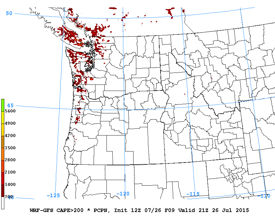
“Most of the heavy showers have moved out of the region.” Special weather statement ended. I’m back! 🙂 Tons of unstable air and moisture out there has prompted a special weather statement from Environment Canada. 10:52 AM PDT Sunday 26 July 2015 Special weather statement in effect for: Inland Vancouver Island Brief heavy downpours and…
-

Special: very localized downpour on Tuesday
Even though I am on the shore of the Columbia River in Oregon (near Hood River), I have been hearing sbout the downpour yesterday in Port Alberni! Sounds quite dramatic including videos posted on facebook. it sounded to me like a localized thundershower type of event and the data bears that out thanks to our…
-

Hot weekend – Away for a while
We are back to hot temperatures over 30° C Friday, Saturday, Sunday and maybe Monday too. Just to put the rain we had in perspective. Notice on the right hand side (or on the main page if you are on a phone. ) a value in yellow labelled “ET” which stands for Evapotranspiration. That means…
-

Heat slowly returns
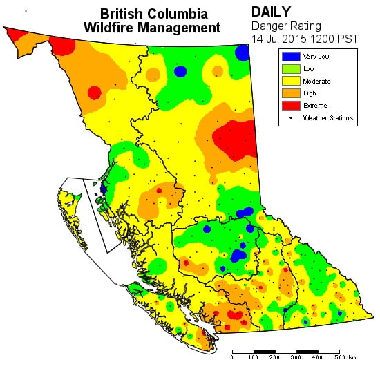
The chance of showers is receding again. Yesterday parts of the Valley got a nice shower from a convective bunch of clouds that built in the far reaches ofnthe Valley. It only provided a few sprinkles in town that did not register on the rain gauge. Similarly, the airport just got a trace. The fire danger…
