Month: January 2016
-

A break Monday, Rain Tonight. Rain again Wednesday night.
It is going to be an off and on kind of week. We should get a bit of a break from the showers this morning and afternoon before another system comes in with rain starting before 7PM tonight. That rain should last through the night and taper off in the morning on Tuesday. Most of Tuesday…
-

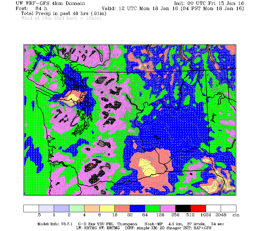
Very rainy weekend coming.
Incoming! 🙂 (Sunday Night) Incredible satellite image of our latest #hurricane force low in the #Pacific Ocean! Seas analyzed to 36' at 21 UTC. pic.twitter.com/M1Dn4ZqmDq — NWS OPC (@NWSOPC) January 16, 2016 Update: Flurries possible due to low temps. We are still only just above freezing. As such, we can expect the rain this afternoon…
-
Rain off and on until Weekend. Then On Saturday
Short update as I’m still dealing with website issues. The rains and showers should continue through the next few days. We are heading into a pretty wet pattern with more serious rain starting Saturday and not letting up through Monday. There isn’t much chance of snow, except possibly at higher levels but it should warm…
-

December and 2015 Summary – Hot and Historic
Warm and Wet El Niño December caps a Historic, Fiery and Dry 2015. The banner image on this post is courtesy Russ and Brenda Widdess. It shows Mt. Kiltsa earlier this year. The mountain’s name (“Kleet-sah”) means “Always White” in the Nuu-cha-nulth languages. This year, perhaps for the first time in both the modern and thousands of years…
-

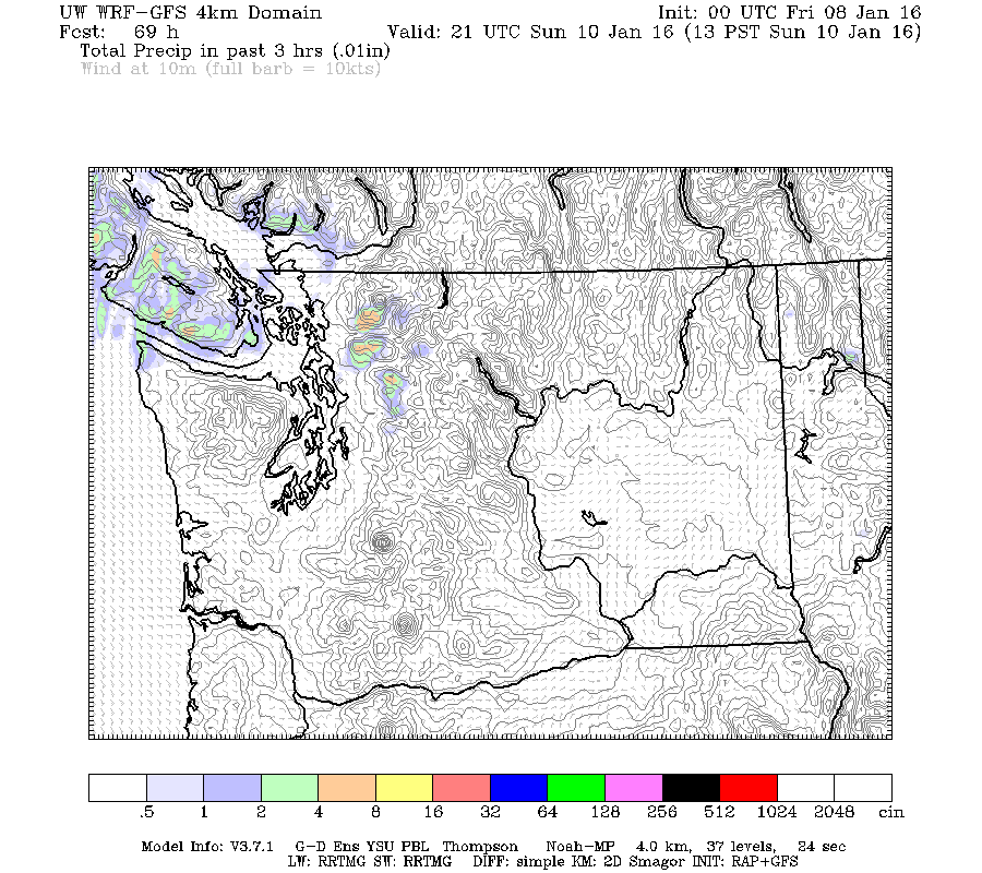
UPDATE- Fog Advisory End – Fog ending today, chance of showers Sunday
Update — The Fog Advisory has ended. Don’t expect the sun to shine anytime soon though. 😉 You know it is even foggier than normal when Environment Canada has issued a fog advisory for our area. But don’t worry, it’s not just us. 4:26 AM PST Friday 08 January 2016 Fog Advisory in effect for:…
