Year: 2016
-

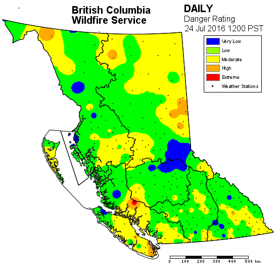
You asked for summer. It is here. 🙂 Fire risk to extreme by Wednesday.
It took all of July but summer has finally come to the West Coast. It is going to get hot and stay hot all week. The UWash and EC forecasts are pretty close to each other here is a comparison… UWash is generally not as hot as EC. Day : UWash range : EC Forecast…
-

Wishing the Mars a safe trip! Heat coming soon.
Short Post just want to wish the Hawaii Mars well. I am a little sad that I am in Victoria and not able to wave goodbye to her this morning. She has already taken off and is in Nanaimo. You can track her on Flightradar. https://www.flightradar24.com/a6f7d88 or on the flightradar24 App. Below is her planned…
-

Another day of cool weather. Small chance of thundershowers near Nanaimo
July continues to be a month of pretty forgettable weather for the most part. Not particularly cold or wet, but also not particularly warm and sunny. That will continue today. As you can see below the Nanaimo area will again have some thunderstorm activity close to the mountains but nothing more than a few rumbles.…
-

Chance of Thunder continues. Watch for downpours.
We had some nice lightshows Sunday evening but nothing very close to town. The same will probably be true this morning and through the day as there is activity left over all around the Island. The strongest activity is predicted to last through the morning through about 2PM as you can see in the series below.…
-

Mostly summery friday and weekend! But heavy showers Sunday
It is going to be a great weekend! Temperatures should climb to around or above 25°C Friday, Saturday and Sunday according to both EC and UWash. Orange areas below are 24-26°C (76-80F). The hottest day will be Sunday according to UWash but Saturday according to EC. Either way, it witll be warm both days. There will…
