Year: 2016
-

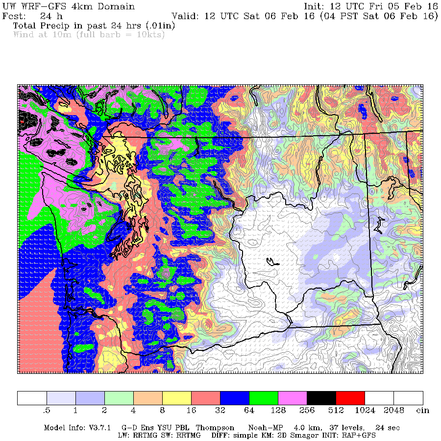
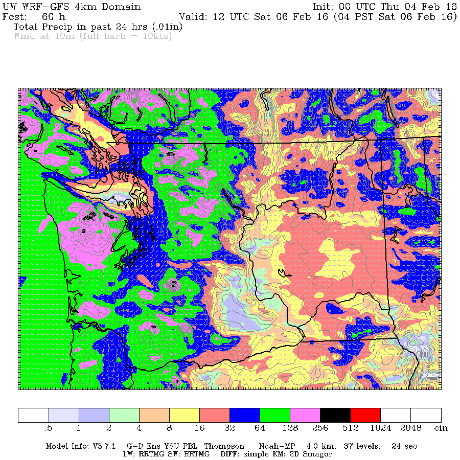
Model increases Rain total, Mother Nature delivers likely record. Family Monday dry at least 🙂
For the second time in two weeks, the UWash model has underestimated the amount of rain expected… it happened last wednesday too when we got a near record all time daily amount and we are on our way to another one now. The record at the Airport was set on this day in 1996 at 43.4…
-

There are only so many synonyms for sogginess.
We will have another short shot of showers today as a system quickly slides through the area. The precipitation should appear in the early PM and then be gone post-haste as you can perceive from the picture below. We should only witness a weak accumulation of around 4mm total once the weather gives way. For Friday,…
-

Rain begins today… goes through stormy Friday.
We had some showers overnight but the main rain should start within the next hour or two. The rain will peak in the afternoon and taper off later tonight. The next system will follow quickly behind starting before 1AM tonight. We may get some wind along with it to start. It will blow through quickly…
-

Monthly Summary January 2016 – Rainiest Jan 27 since 1896 – Low Snow
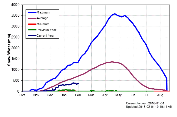
Close to normal temperatures but slightly drier January hides near record day rainfall and low snowpack. Happy Groundhog Day! 🙂 The totals and averages and records in January 2016 were not hugely notable. The combination of the weakening of the “blob” and the influence of El Niño seem to have combined to generate a fairly…
-

Mostly pleasant until rain returns Wednesday
Sorry for the late post. The weather should stay mostly pleasant and dry Monday and Tuesday while we wait for a new rain system to move through on Wednesday. The rain will begin before 7AM Wednesday and push through quite quickly with only showers by 4PM. There may be some wet snow at high elevations…
