Month: September 2020
-

Slight improvement today but smoke still thick until weekend. New links provided. Rain and a Wind Storm possible next week.
A good progression Ever since Tuesday afternoon when we saw the sun ever so briefly, the overall Smoke concentration has been slowly lessening. The inversion is still strong though so it is keep the smoke locked to the ground. Here is this morning’s graph. (See it updated on the front page). We are currently at…
-

Poor air quality to continue. Smoke spreads across North America. COVID numbers up.
Smoke forecasts prove very difficult If there is one thing we have learned about this wildfire Smoke is it is very difficult to figure out where it is going. We remain in the thick of it today. ENV. Canada is expecting the “widespread smoke” to continue through Wednesday but doesn’t mention later on. This may…
-

Smoke to continue through Tuesday. Clearing hopefully Wednesday. Sunny and warm Thursday.
Update 2:30PM see the graphs on the front page. Update 10:15AM The latest information from NASA on smoke forecasts is not good. See animation below. We should still get a break, but short-lived. PM2.5 levels consistent, and bad. The sensors have been very consistent for the past 24hrs as this smoke stays put. It might…
-

Expect Smoke to linger until Monday at least
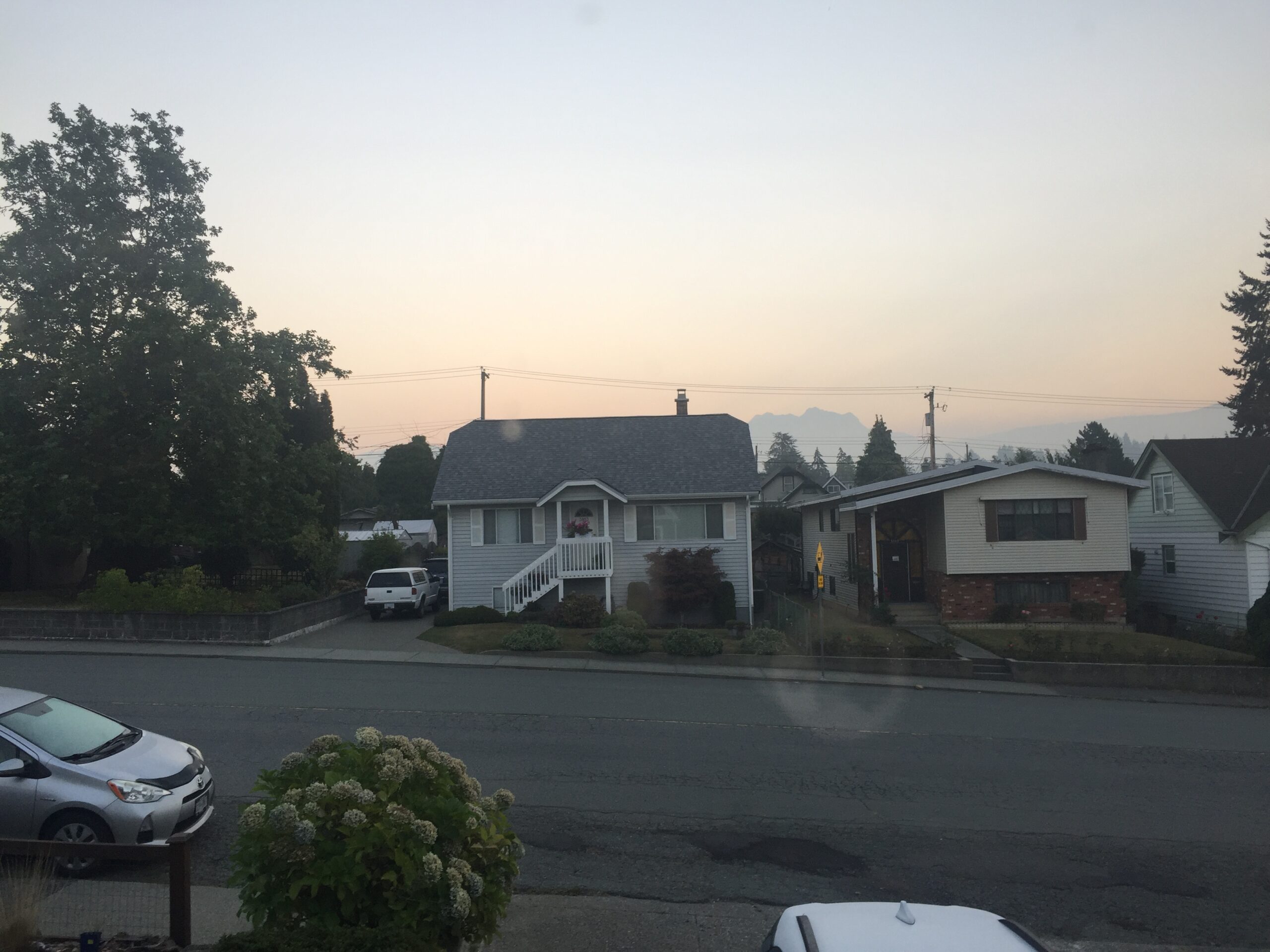
We have awoken in yet more smoke. You can see current readings here. Anything over 20 is generally considered bad. Many places, including Port Alberni are around 100. As you can see it’s bad all across the South Coast. Ed Wiebe sent this picture from UVic. And here’s the view from Dr. J at the…
-

Updated 1:35PM – California and Oregon Smoke has moved in. Record heat yesterday.
Bad Air settles in overnight. A last update before midnight. It’s bad all over the Island. Downtown Victoria and Port Alberni are currently the worst though. Both at over 150ug/m3 1:35PM Smoke has moved up the Island The smoke has pushed north as the day has drawn on. There is no chance of us hitting…
