Year: 2024
-

UPDATED 10PM WEDNESDAY — WINTER STORM WARNING
ECCC issues Winter Storm Warning I am not surprised that they have issued this for the storm on Thursday afternoon. I will have a blog Thursday morning but the main points of the warning are as I mentioned in my podcast. Significant snow 10-15cm and “an extended period of freezing rain” from Thursday night into…
-

System Incoming – Heavy Snow Possible Tonight, Wednesday and Thursday Messy Mix
Radar and Satellite showing system(s) If you head over to the Satellites page you’ll find links to the updated Satellite and Radar pictures. They’ll be good ones to watch over the next 48 hours as these two events unfold. Here’s the picture as of now (5:24PM PST) as moisture starts to reach the Island. I…
-

Snowfall warnings issued – “Snow storm” expected – Freezing Rain possible as well
Warnings up. (Updated 12:30PM) EC has posted warnings for most of the South Coast this morning. You can see ours for Inland sections or check out the entire range of them. Here is the text for Inland Vancouver Island: Current details: A snow storm is expected to arrive tonight. When: Tonight to Wednesday afternoon or…
-

Watching for snow Tuesday Night
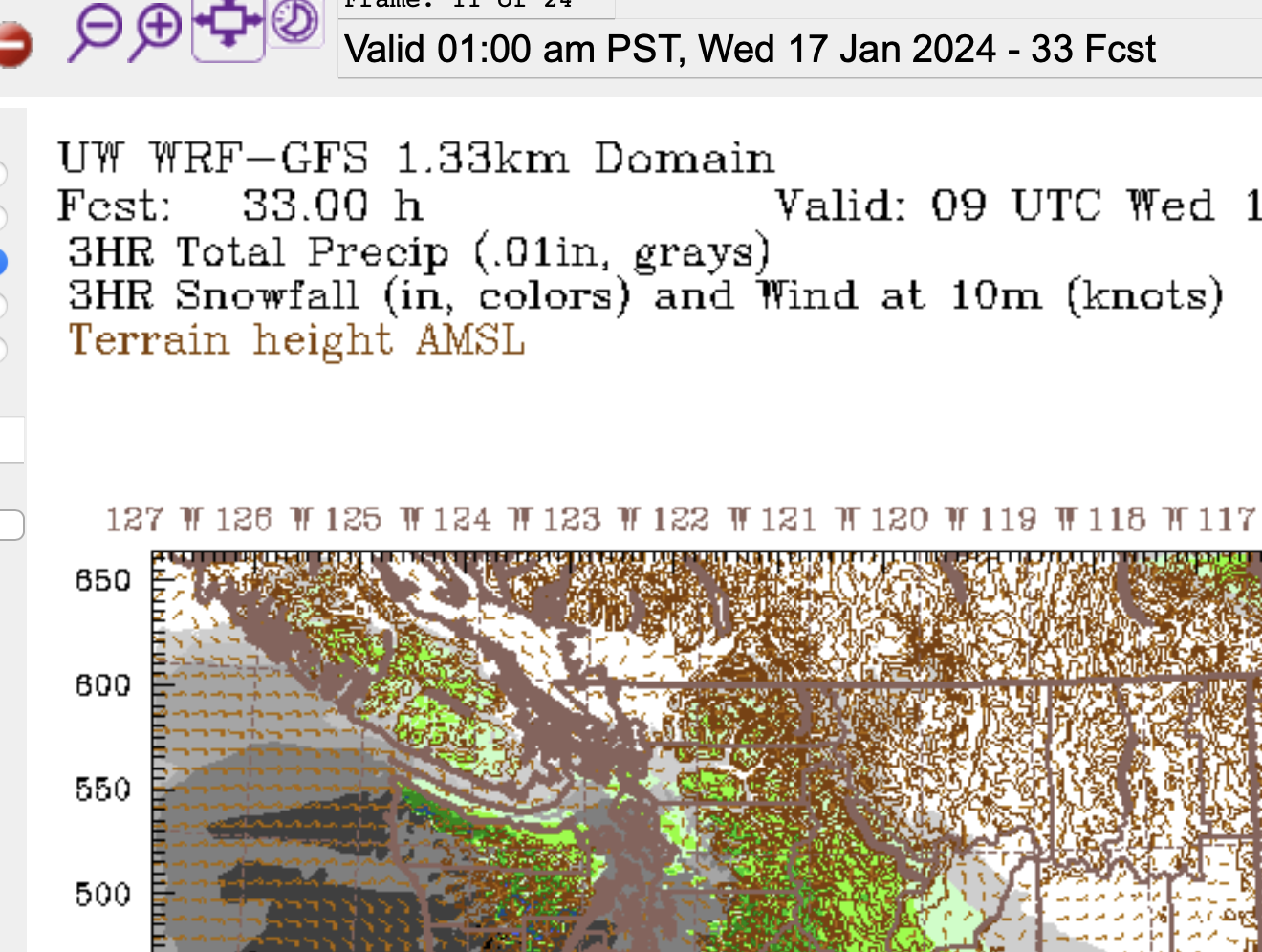
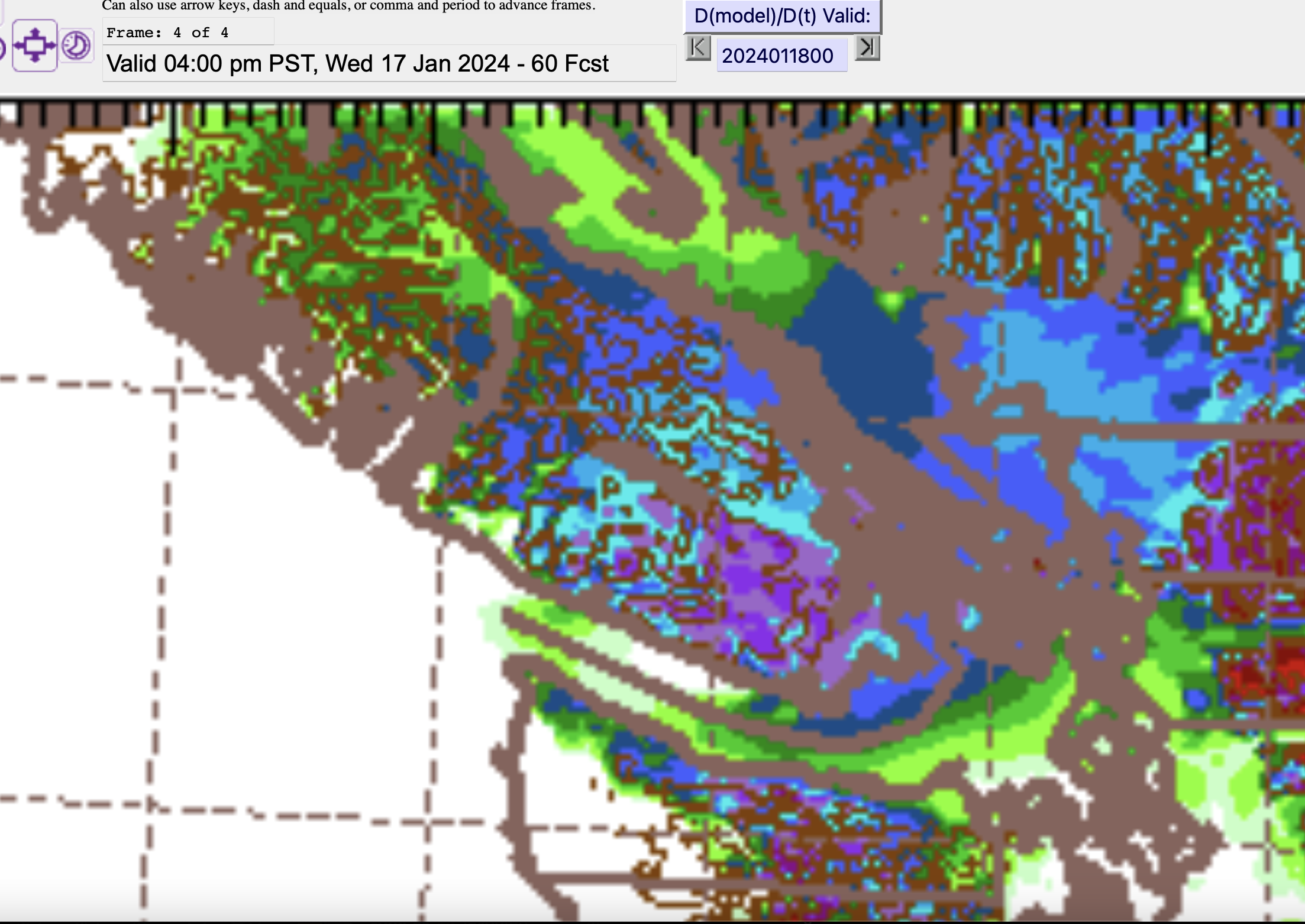
Data View Offline An issue cropped up with the Data View overnight. That is why there is a large empty space in the website. The other data on the Almanac is still updating normally. I’ll post on Mastodon with updates on when the Data View will return. Snow Tuesday Night and Wednesday – Heaviest South…
-

Coldest night so far – New Podcast up – Why this Arctic weather? And Snow Wednesday and Thursday morning
Brrr! It was the coldest night so far. We set a record at the Airport since 1994 of -11.5ºC but it was nowhere near the record. This day in 1950 we reached -21ºC in Port Alberni and -25ºC in Beaver Creek. Why is it so cold? A Podcast and Forecast I’ve made a podcast this…
