The jetstream remains bent around a ridge of high pressure over western North America. It will break down a bit today and tomorrow but will rebuild just as strong as ever by Wednesday and Thursday.
Here is the jetstream on Thursday.
This will keep us foggy and dry (aside from the dampness of the fog) with inversion conditions.
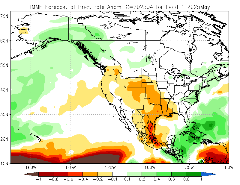
Looking out a little farther, the monthly forecasts from the NOAA are predicting below average precipitation for our part of the continent for February.
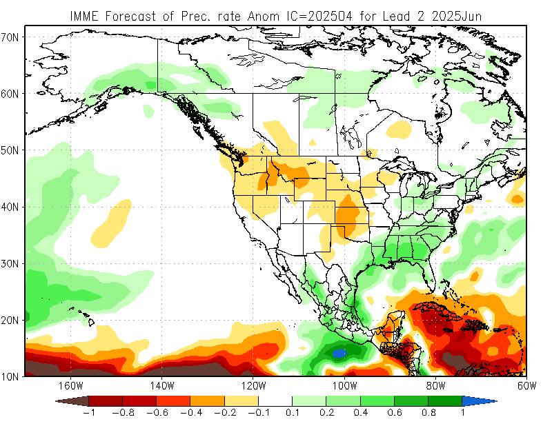
There is better news for March as normal or slightly above normal precipitation is predicted. (Though notice the dry spell continues for California, which could be very bad for crops there and food prices here)
These long range forecasts are always to be taken with a grain of salt since they do look so far out. They are based largely on trends in El Niño, which is expected to remain neutral and thus inactive through March but might creep into El Niño territory in fall if the model predictions turn out as you see them below.
The graph above shows all of the models used by the NOAA to predict whether there will be an El Niño, La Niña or neutral conditions. If the values turn out above or below 0.5C then they declare an El Niño or La Niña respectively. As of now, it looks like neutral conditions will continue as they have been for almost a year. This means we won’t get any big pushes from that particular phenomenon on our weather through summer.
El Niño (The Southern Oscillation Index) is a sea temperature phenomenon so we know that sea temperatures, both at the surface and to some depth, affect our weather patterns. So it should not come as a big surprise that sea temperatures may be responsible for feeding into our very dry winter. In the case of California, it has been their driest rainy season ever on record.
If you check out the animation for the past 6 months here you’ll see a large area of above normal sea surface temperatures migrating from West (Asia) to East (North America). The strong ridges of high pressure and big bends in the jetstream seem to have followed this patch of warm water.
Here are sea surface temperatures at the end of September.

And here they are again this weekend.
If you compare them to the first image in this post of the jetstream, you’ll see the two similar locations between the high pressure, the bend of the jetstream, and the warm waters.
Happy Monday!


