Check it out (islandweather.ca)
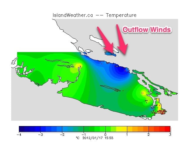
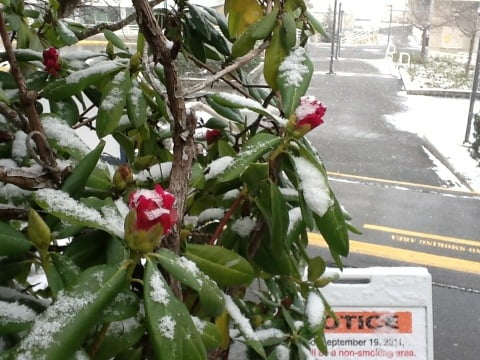
As you can see, the East Coast is getting some serious chilling from Arctic outflow winds now building. At VIU the temperature went from 0C to -3C between noon and 2PM today… And it was snowing at the time as well.
Expect the temp to drop very rapidly in the Valley tonight as the sun sets and the wind comes around and over the Beauforts.
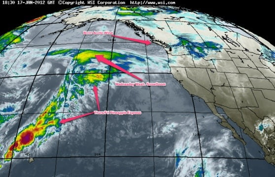
The story for the next couple days will be twofold: we are going to get to watch as Washington gets walloped with snow.
As you can see, there is a pretty sharp boundary between the Arctic air and the warm Pineapple Express that is looming to the South. Washington will be a bullseye on that boundary tomorrow as the cold Arctic air and warm Pacific meet.
On Thursday it will be our turn. We can’t know yet how strong this Arctic air will be. If we are at -10C on Thursday and the Express comes charging in then we could get a huge dump of snow before it turns to rain. But we just won’t know until Thursday morning probably and maybe not until it all shakes down.
The takeaway though is that the cold arctic days are numbered… By the weekend, we should be closer to +10C than -10C and we will have wind in our face and rain (and slush) on the streets to prove it.


Comments
One response to “Arctic cold hits – Pineapple Express awaits”
It’s wierd to see that much blue on the east side of the Island on the temperature map. It sure looks like we are going to dodge the first part of the incoming moisture, but if the winds come over the Beauforts with enough force, they could bring some Straight-effect snow this way – remember the big snowfall in November 2010?