Author: Alberniweather Blog (Chris)
-

Snowfall warnings issued – “Snow storm” expected – Freezing Rain possible as well
Warnings up. (Updated 12:30PM) EC has posted warnings for most of the South Coast this morning. You can see ours for Inland sections or check out the entire range of them. Here is the text for Inland Vancouver Island: Current details: A snow storm is expected to arrive tonight. When: Tonight to Wednesday afternoon or…
-

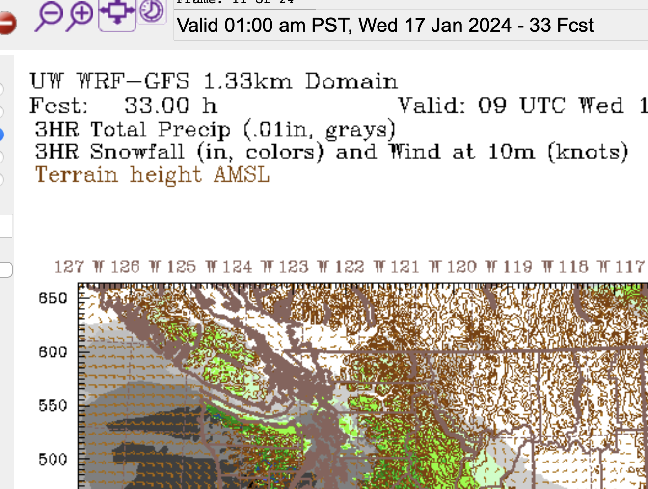
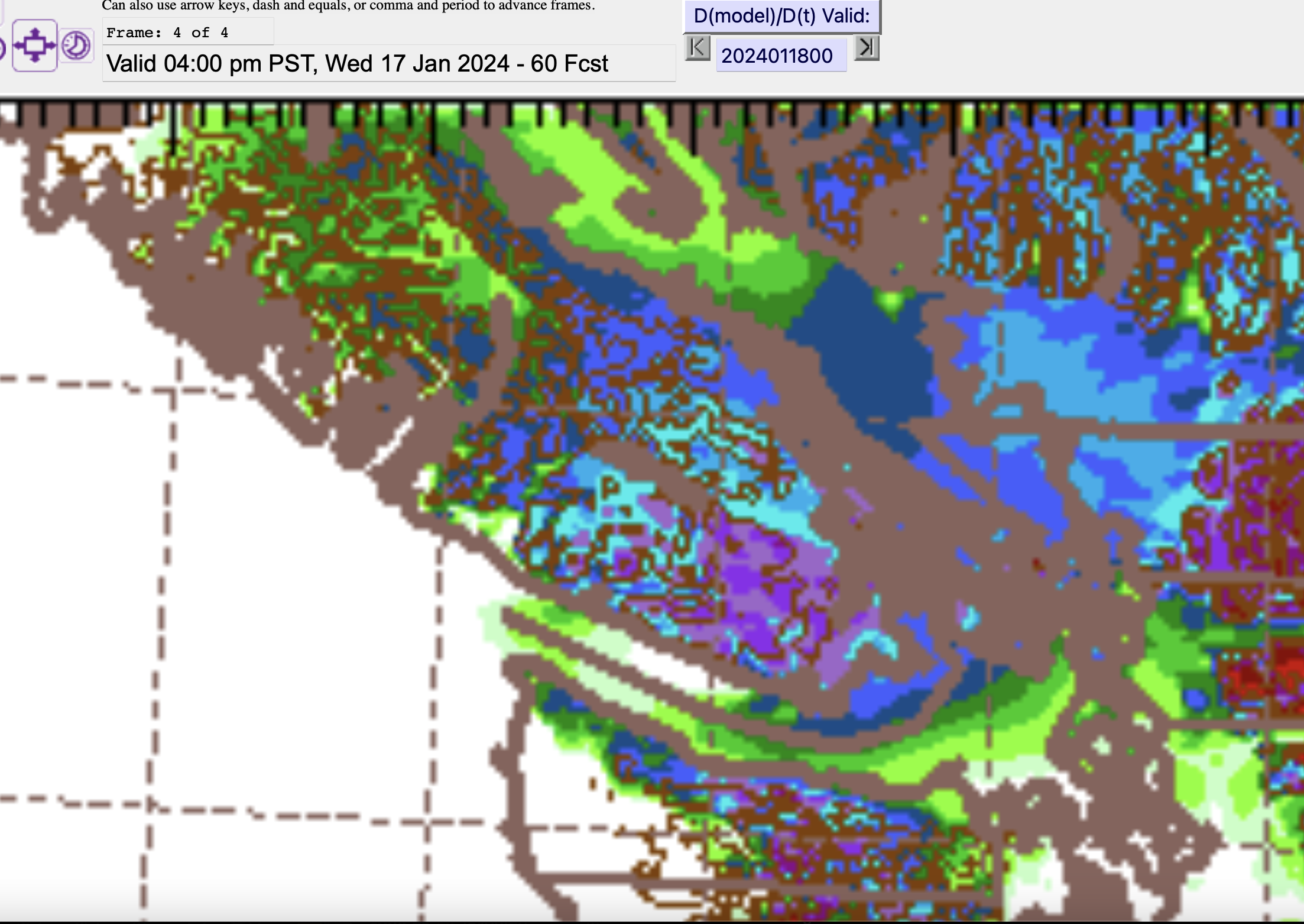
Watching for snow Tuesday Night
Data View Offline An issue cropped up with the Data View overnight. That is why there is a large empty space in the website. The other data on the Almanac is still updating normally. I’ll post on Mastodon with updates on when the Data View will return. Snow Tuesday Night and Wednesday – Heaviest South…
-

Coldest night so far – New Podcast up – Why this Arctic weather? And Snow Wednesday and Thursday morning
Brrr! It was the coldest night so far. We set a record at the Airport since 1994 of -11.5ºC but it was nowhere near the record. This day in 1950 we reached -21ºC in Port Alberni and -25ºC in Beaver Creek. Why is it so cold? A Podcast and Forecast I’ve made a podcast this…
-

Frigid night but no record – Possible snow on the warmup Tuesday.
Record for January 12 was -15 It got plenty cold, and fast, yesterday but we didn’t set any records. As posted on Mastodon: Looks like we “peaked” today at a balmy temperature of -4.0ºC in #PortAlberni. Our low this morning was -8.7ºC. The lowest windchill recorded was -14.1. The official low at the Airport was…
-

Polar Vortex Delivers Snow to Vancouver and Victoria – Nanaimo Next?
It begins – Vancouver and Victoria As confirmed on Social Media reports (#bcstorm on Mastodon), snow has begun in Vancouver, especially eastern sections, and also in Victoria on the Saanich peninsula. The winds have picked up and it’s driving two northwest to southeast lines of precipitation as the Polar Vortex takes hold and temperatures drop.…
