Author: Alberniweather Blog (Chris)
-

Monitoring flooding situation – High Streamflow Adv. in Port Alberni – Flood Warning in Englishman/Cowichan
Update 10AM – Multiple Highway Closures Don’t go if you don’t have to. And please, don’t drive through huge puddles and rivers. It’s not worth the risk (and you might swamp someone else. Highway 1 to Victoria is closed at the Malahat and possibly other areas near Duncan. There is a ton happening right now.…
-

Heavy Rainfall – Flooding possible
Environment Canada has issued a Heavy Rainfall Warning for West and Inland Vancouver Island including Port Alberni and especially Lake Cowichan. It is expected we will receive 50-75mm in Port Alberni by this evening and Lake Cowichan will continue to get more rain overnight with 100-150mm total possible. Below are the 24hr rainfall accumulations. First…
-

More rain and wind incoming
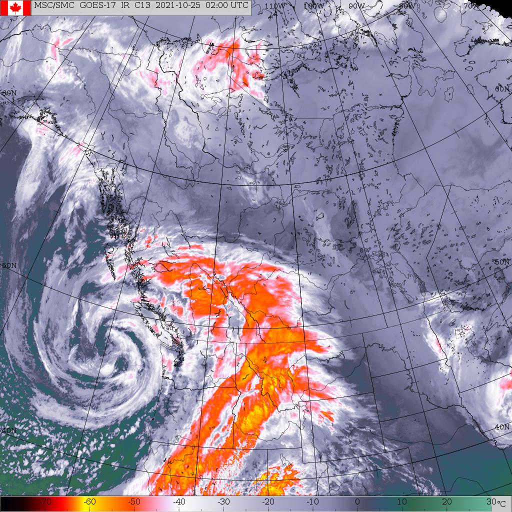
Bombogenesis ongoing, again. Wind warnings have been issued for West and East Island, winds could get up to 80-100kph on exposed areas. A special weather statement is up for Inland and other areas for winds up to 70kph. Once again we have a strong system coming our way this week and it’s going to bring…
-

Aurora Borealis this weekend? Clear, but cold, skies. Sunny days.
We have clear skies for the next 3 days! And bonus, we might have Aurora again! Here’s the forecast from spaceweather.com the “strong” Geomagnetic storm. GEOMAGNETIC STORM WATCH: A strong G3-class geomagnetic storm is possible on Oct. 30th when the CME from yesterday’s X1-flare is expected to hit Earth’s magnetic field. Such storms can spark naked-eye auroras as far south as Illinois…
-

Stormy night and Monday to come
Heads up – Updated the Satellite and Imagery page Just a heads up that I have updated the Satelittle and Imagery page so that it has more links to both the local radar, satellite and also a great resource for looking at weather models that isn’t too hard to use. Check it out at the…
