There is no doubt it will rain starting Thursday or Friday. In fact, as I type this there is a light mist falling in Qualicum.
First, it’s worth remembering how much rain we need, which is a lot even for us on the West Coast.
Not since 1896 (in Beaver Creek) and 1929 (at City Hall) has there been a summer and fall this dry in Port Alberni. However, already this October has been more extreme than 1896. If you look at the daily data, rain fell on and off throughout October 1896. In 2012 we have yet to register rain in October. (October 1929 was a more typical month with over 180mm falling throughout)
The totals are most compelling though so again, July-October, 1896 got 159mm, 1929 got 214.9mm, and 2012 has 36.2mm so far. So we need over 122.8mm to dodge the 1896 record. (Apologies I’ve said 140mm in the past, bad in-head math on my part)
So will we get it and avoid the record? It is still hard to say. Initially this weekend’s rain looked intense. But it has flipped and flopped. Here is the latest GFS prediction.

It shows a very merger start with a strong punch on Saturday and Sunday night totalling over 144mm!
That would take care of the record.
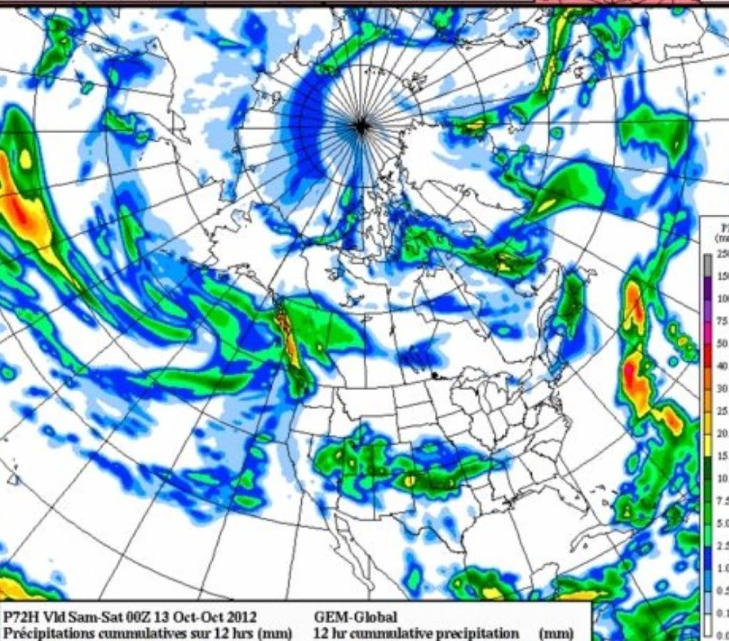
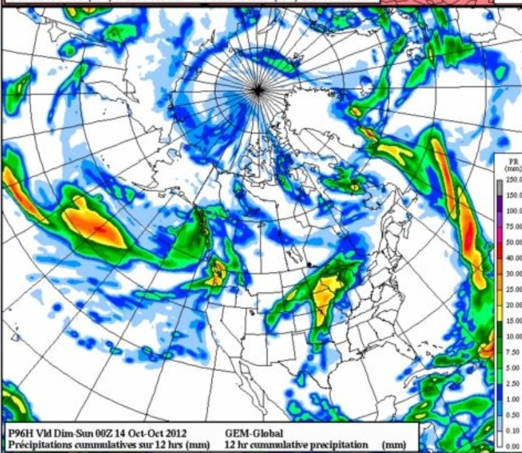
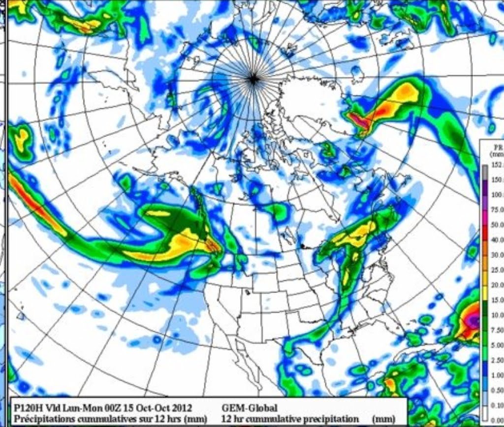
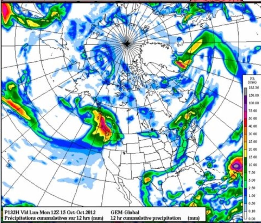
However, the GFS often overestimates. So what does the Canadian model say? Here are the accumulations from Friday through Monday with graphics available here.

10mm on Friday.
Total: 125mm
That would also put us over the 1896 amount and avoid setting a new record.
So now we wait and see if the forecast holds. There is rain in the long range forecast too… But we will address that maybe on the weekend. Rain amounts are often the most difficult to predict, but whatever we get, it will be a blessing for local rivers and the people and animals that depend on them.


