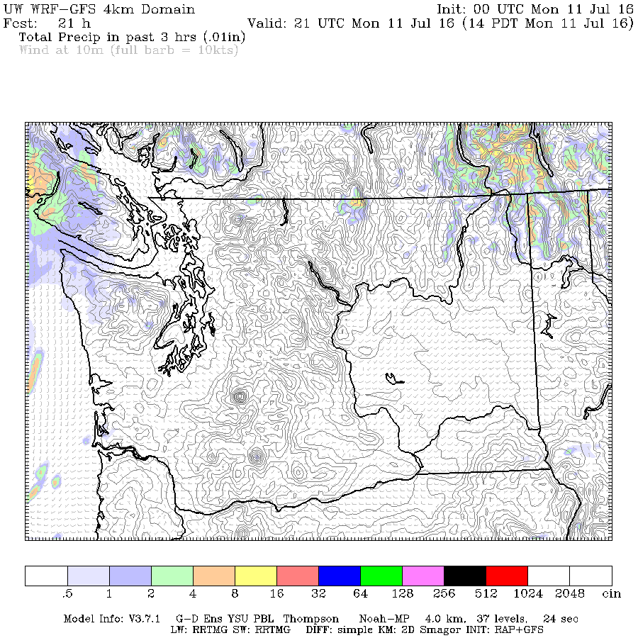
Expect a few clouds thickening this morning as the threat of rain approaches from the West.
It will not be significant but it will keep the temperature below normal.
The threat of showers on Tuesday is less organized. Looks like one of those days where you might get rain at your house and your neighbour a couple blocks away gets nothing.
It warms up on Wednesday before another threat of rain occurs briefly on Thursday afternoon, possibly attached to some thunderstorm activity.
After that the model has us dry through next Monday and gradually warmer.
That’s it! If you haven’t seen it already, for a look back at June and a look forward to the summer, fall and winter go to Friday’s post with the June 2016 summary. Tons of info there.
Happy Monday!


