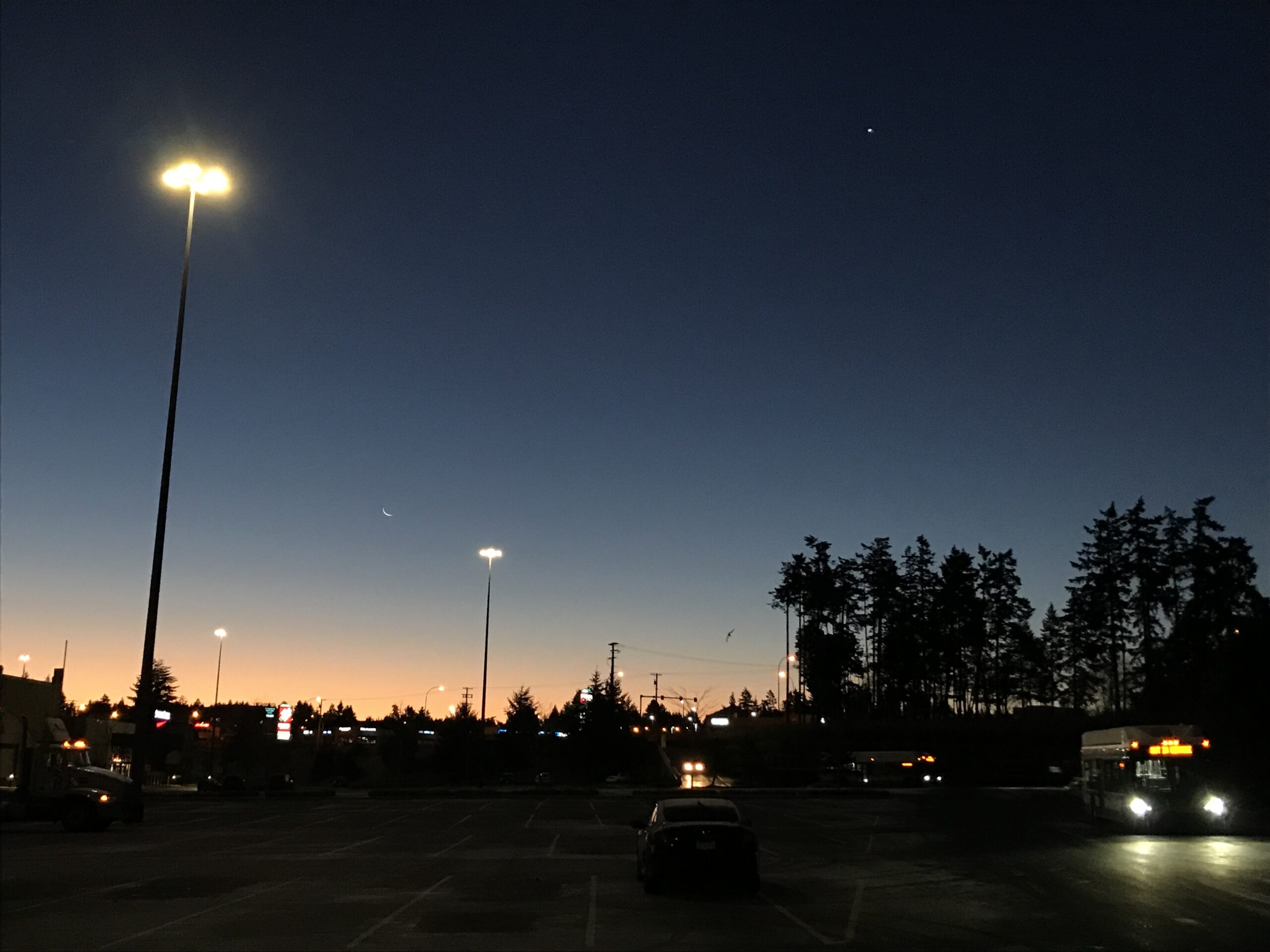
We are into day 2 of our first cold snap of the winter. Watch for frost and black ice. Also, if you have a clear view of the horizon (ie. not encumbered by Mt. Arrowsmith or fog) check out the moon before the sun rises! And if you can’t, then do the next best thing and admire the picture from the Seattle National Weather Service below. It is a wonderful sliver, followed close behind by Mercury. (And Venus is super bright and well above the horizon and moon)
The NWS Seattle folks also had an interesting stat this morning.
I don’t have the numbers to say whether we have had a similar experience, but considering the similarity of our climate and weather, it would not be a surprise if we had a similar pattern.
Onto the weather… we have two more days, Wednesday and Thursday of this chilly weather. Expect below freezing temperatures and sunshine.
Friday night will be the question mark.
Environment Canada and the Canadian GEM model is predicting a much colder day on Friday, with a low in the morning around -4°C and a high of only zero. This leads to their prediction of snow on Friday night which makes sense at those temperatures. Below is the model to back that up.

The model is also predicting freezing rain so be aware of that.
The US GFS and UWash model take a slightly warmer route.

I marked the pop up in afternoon temperatures. The GFS says we will get up to 5°C. However, it also predicts we will fall back to freezing and get the same 3cm of snow as the Canadian model suggests (with no freezing rain).
What those two models both agree on is the timing of the precipitation, just before midnight Friday/Saturday. UWash has the same temperature as the GFS, warming to above freezing in the afternoon, but slightly earlier rain. And most importantly, no snow in its forecast for us whatsoever.

With disagreement amongst the models, it is hard to settle on a forecast. Thankfully we have a couple more days for things to get clearer and hopefully the models to come into agreement.
At this point though, with the Canadian/EC, GFS, and also older NAM and newest GEPS models all predicting temperatures below 2°C as a high on Friday, I am leaning toward a mix of snow and rain starting around 8PM on Friday.
Be prepared. The risk will of course be greater at elevation as well, so if you are planning on going over the Hump, Malahat, or Sutton Pass, goesrly and take appropriate gear.
Happy Chilly Wednesday!

