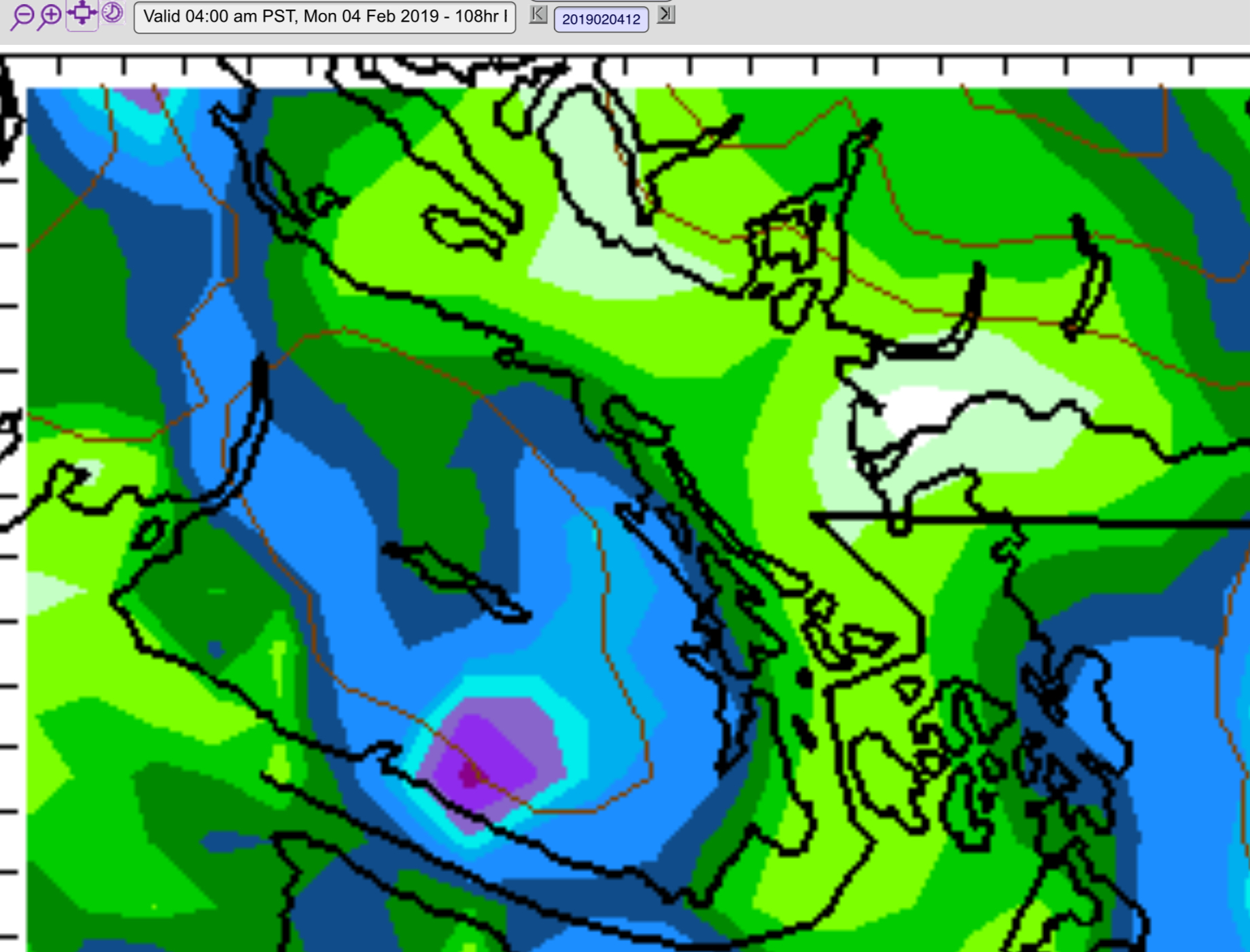
Did you brag to your friends and relatives back east about how warm it was out here while they suffered in a deep freeze? Well Mother Nature noiced, and she may be about to demand atonement. Below is the forecast temperature map for Thursday morning, followed by the map for Sunday morning.


Freezing temperatures are expected down to sea level on Sunday morning and you might also notice the wind barbs on the right of the bottom picture indicating strong outflow winds pulling very cold air down the Fraser Valley and Howe Sound.
That is a potential recipe for “strait effect” snow for the East Coast of the Island and the model appears to be leaning in that direction with 24hr snowfalls of 5-10cm (2-4in) on Sunday.


The usual hotspots for snow look to be setup in the Cowichan Valley/Saltspring Island/Mill Bay region and the Courtenay/Campbell River area. I wouldn’t put too much stock in the band of snow pictured across the Alberni Valley yet as we don’t usually get significant snow fall from these types of events. That is likely to be in the mountains only.
If you are driving anywhere on the Island on Sunday, this will definitely be a forecast worth watching. Ill have another update Friday night or Saturday morning to check in.
Hug your snow drops!

