Update 12PM This is another “don’t be fooled” kind of day.
Don’t expect much if any snow in Port Alberni Tuesday, but other areas on east side are getting plenty.
A lot more, and more widespread, than forecast.
Driving is treacherous.
Snowfall warnings issued for south and east VI
The next few days will be very interesting, until the cold finally pulls away Friday. Check EC for Warnings. Inland VI has a warning as well but it is for the Lake Cowichan area more so than Port Alberni though people in the Whiskey Creek and Errington areas should also beware.
Tuesday morning patchy and unpredictable.
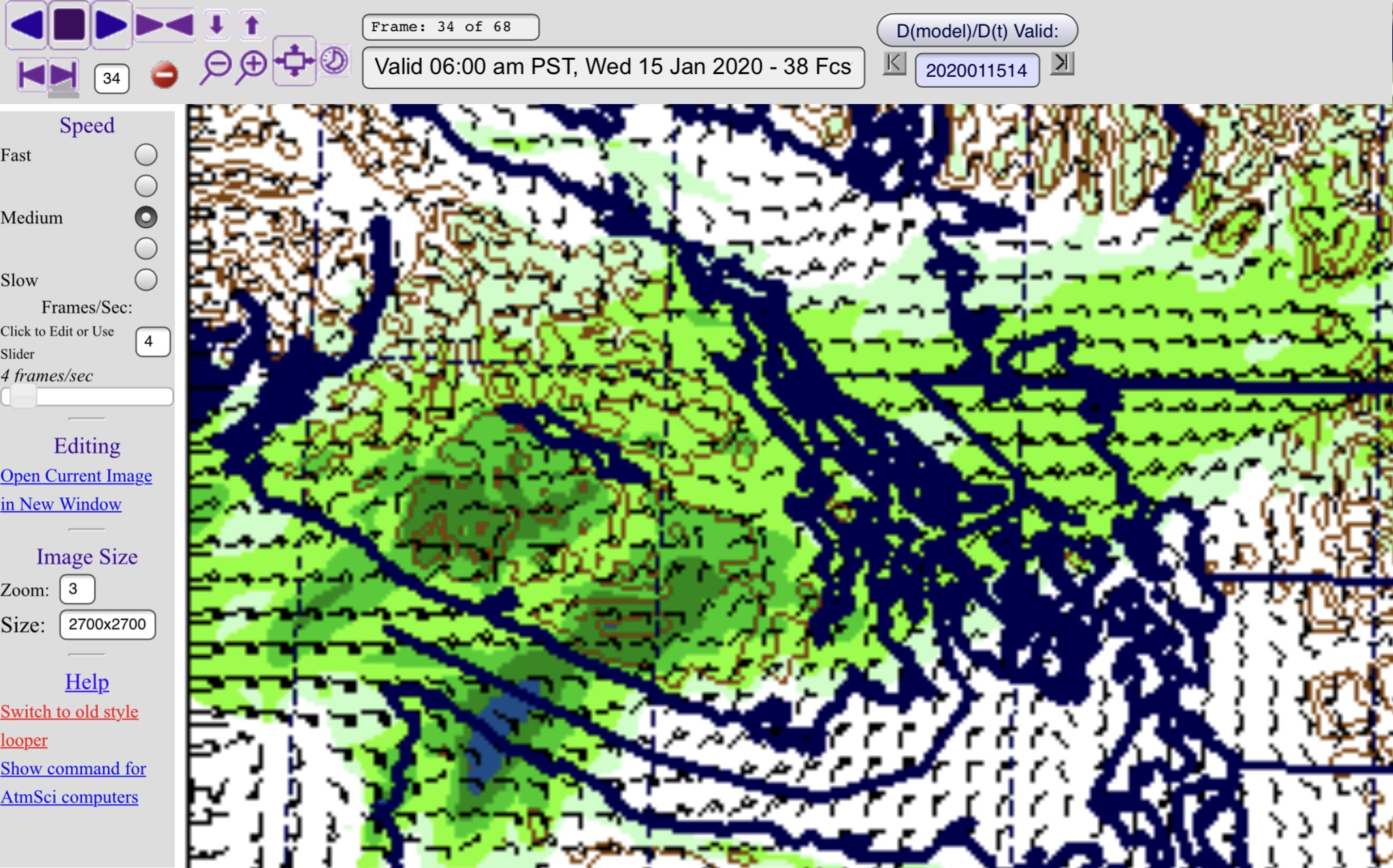
It snowed in many places overnight on the east island. It will likely continue snowing in a few places all day. Others will get breaks. The models are very patchy for the morning but there is a consistent area in the gulf islands and around Ladysmith with snowfall all morning. See below.

Folks from about north Nanaimo down to Mill Bay should be prepared for snow along the water. There is another patch near Port Renfrew as well.
These small patches of snow will last all day.
Evening and overnight South Island snow storm?
By 9PM today we see a disturbance approaching the Island from the south, snow will likely have already started on and off in Victoria and Cowichan a couple hours before.

Southern parts of the Island start to see steady snow from around 11PM and by 2AM there should be significant accumulating snowfall happening.

Wednesday morning heavy snow South Island
It will intensify in Victoria before 4AM and then start to move up Island. By 6AM the entire east side is expected to have snow all the way to Parksville. Plus the West Coast should also see snow in Bamfield and Ucluelet.

We should see some light flurries in Port Alberni, but not much. The system weakens as it goes north, by 8AM it should be just flurries, but the entire east side of the Island plus Cowichan will have snow. Expect up to 15cm in some areas.

It is over for most places by 10AM Wednesday but there is still a band of snow lurking around the east side that will bring local heavy amounts. You can see it lingering around Parksville in the 9-10AM hour.

There is another patch up by Buckley Bay in the 1-2PM hour.

That patch grows and intensifies around 5PM as another system starts to threaten.
More snow east side and Port Alberni Wednesday night.

Port Alberni finally sees some snow on the model on Wednesday night starting around 6PM.

But it looks short lived again while the east coast gets dumped on particularly Nanaimo, Ladysmith around 9PM until midnight also around Baynes Sound.

Thursday morning… again.
Qualicum, Buckley bay… also Whiskey Creek, Coombs, the Hump, and Sutton Pass.

I will stop there for now. That is plenty to deal with! I will probably post another blog tomorrow morning and track it all day.

