Next weather Wednesday
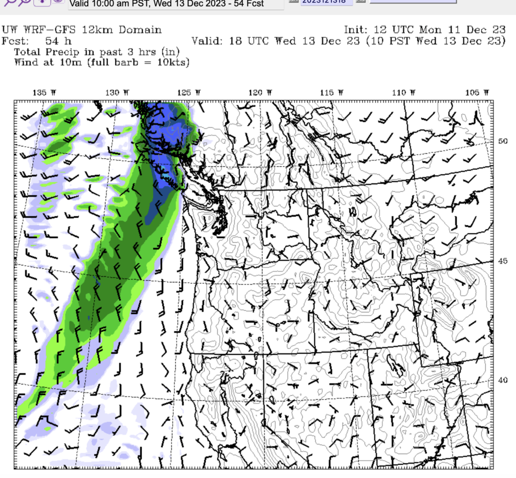
A quick update today but lots to talk about. First, we’ll get active weather next on Wednesday as system moves down the Island and brings showers starting around noon. Nothing serious.

The system will push through Wednesday night and we’ll dry out on Thursday and should stay dry until next Monday.
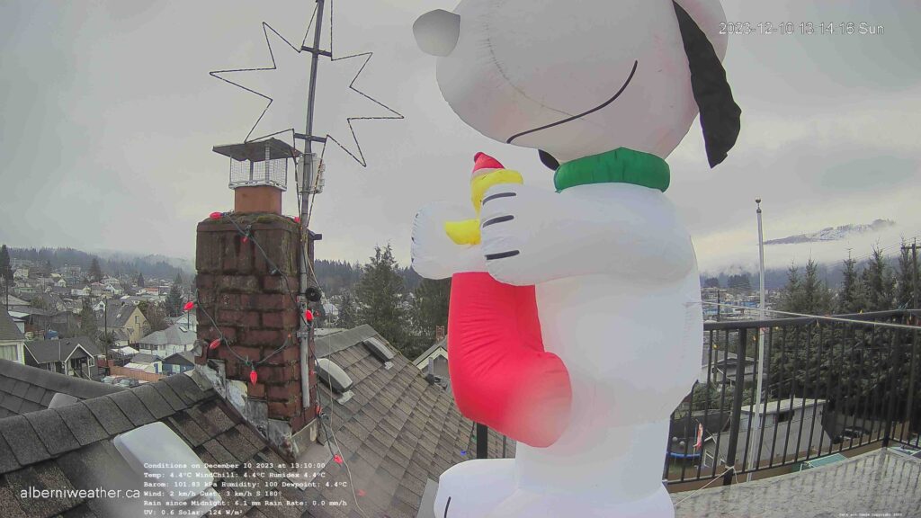
Snoopy is up!
After a couple of years of downtime, we discovered a fuse in the plug of our big blowup-snoopy was the cause of the malfunction. So Snoopy is back, and he’s front and centre on the webcam!

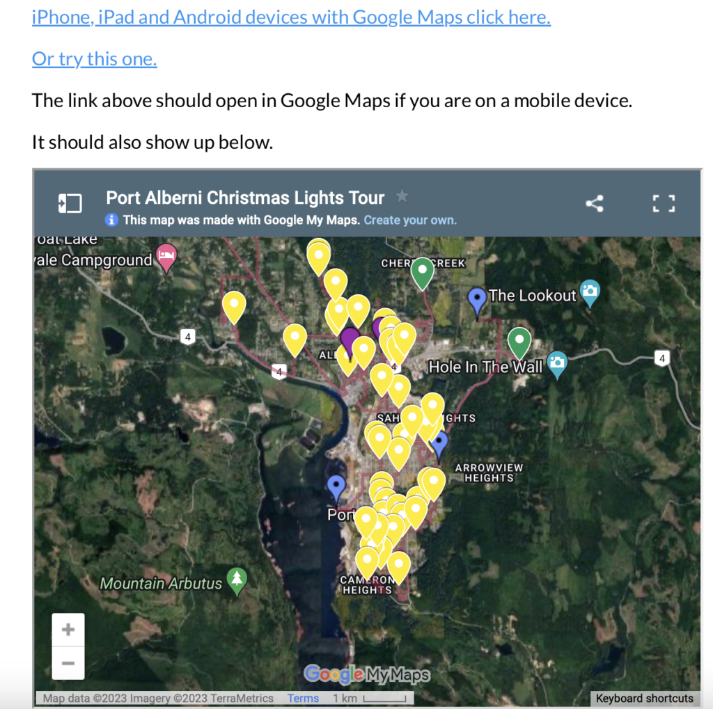
Christmas Lights Map
I’ve noticed more people checking out the Christmas Lights Map. If you have any suggestions, please send them in! I’ll be going through it a little bit this week to update it.

White Christmas Forecast
And finally, speaking of Christmas. With December 25 now just 15 days away, it is within range of the longest forecasts, courtesy of SpotWx.
It’s way to far out to be super specific of course, but I think it’s worth looking at least at the temperatures predicted out that far, here they are, for Average, Maximum, and Minimums December 12-27:

As you can see, all three are extremely similar, day or night, from week to week. What this tells me is that the expectation is for no large changes. No big Atmospheric Rivers/Pineapple Express’s giving us warm temperatures. And no cold Arctic Polar Vortex’s. This looks like a very standard, probably foggy and cloudy, cool December.
The best we might get with this kind of forecast for snow would be something like we saw on the weekend with a brief few hours of wet snow falling but very little actual accumulation and what does, melts or is washed away by rain fairly quickly.
So I’m sorry to say it looks like this will not be a White Christmas kind of year. But hey, forecasts are known to be wrong at times. 🙂
Have a great Monday!

