Wet Tuesday morning but clearing
It’s a chilly and wet fall morning out there. The roads are slippery. Take care.
The good news is this moisture should clear out by noon. The fog and low cloud should lift and hopefully we get a clear night tonight!
Best and last chance at Comet and Orionids together!
We have two celestial events ending this week. First, the Comet Tsuchinshan-ATLAS
It is higher in the sky, but fading as it gets farther from Earth and the Sun. Look for it 30 minutes to 2 hours after sunset in the West-SouthWest Sky (over Arbutus Ridge or Sproat Lake in Port Alberni) from Port Alberni). If you have an app like DarkSky to tell you exactly where it is, you can use binoculars to try to help spot it.
Tonight and Wednesday night is our best chance for a clear sunset before the comet disappear again after the 26th.
The second event is the annual Orionid meteor shower. It peaked on the 20th but there should still be some meteors emanating from the Constellation Orion for the next few days. The darker the sky, and later at night, the better when it comes to meteors, but if you’re very lucky, you might be able to see the comet low in to the west and a meteor high to the south at the same time!
Frosty Wednesday?
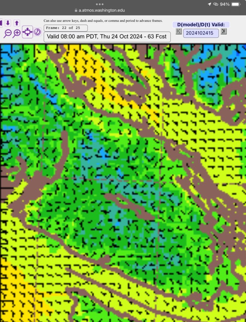
The temperature picture for Wednesday suggests we might got to around freezing (light blue) on Wednesday morning.

I suspect we will have enough fog or low cloud to keep us from going below freezing in town, but out in some isolated pockets of the Valley the chance is better for frost.
Sun Thursday then back to rain for the weekend.
We should get a nice break on Thursday and most of Friday but by Friday night we return to a strong wet system Friday night and again Saturday night with breaks in between.
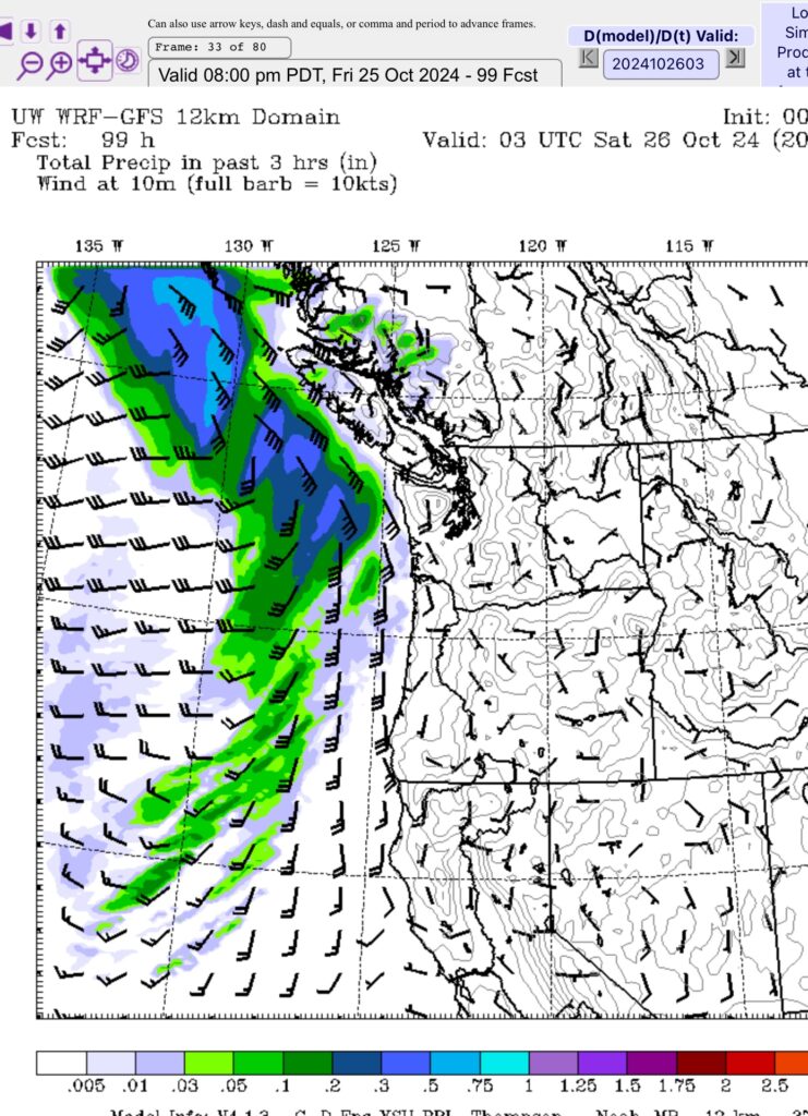
The image below shows the system approaching the Island by 8PM Friday. Rain will begin overnight and last through the morning Saturday.

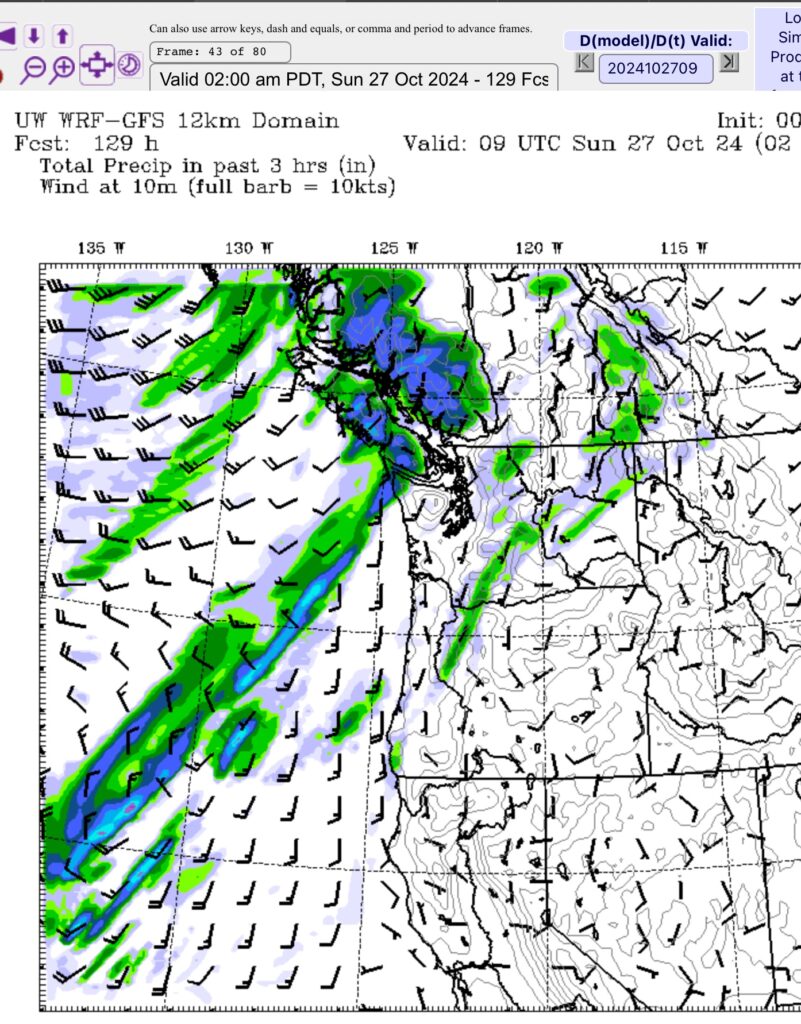
This is not an atmospheric river. We will get a break later Saturday afternoon and then another bout of rain will move through overnight Saturday into Sunday morning.

This one has some connection to southerly waters but should clear by Sunday afternoon. Again, the Cowichan Valley and West Coast of Southern Vancouver Island bears the brunt of the rain.
Condolences
I just want to send out my condolences to the families and friends of the two people killed when they were trapped in the Sarita River near Anacla and Bamfield.
Port Alberni only received a modest 104mm of rain from Friday to Sunday at the Airport last weekend, but not far away, Kennedy Camp received 236mm on Friday alone, 265mm for the weekend. There is no station in Bamfield anymore, or in Anacla. The closest is Nitinat River Hatchery, but the data there is delayed by a week or more. Regardless, I would expect the area saw as much or more rain than Kennedy Lake and that’s why the Sarita flooded over the road (as it often does).
Our weather has become much more dangerous and unpredictable but we can mitigate the impacts. I hope more improvements can be made to make the Bamfield (and Cowichan) road safer and more resilient to these extreme events. Everyone deserves to come home to their families.
Take care out there. Be safe. Good luck comet and meteor hunting!


