Category: Cold
-

Rain on the way Friday night and Saturday – Might start as Snow – 4th AQ station
Glimpses of sun Thursday and Friday We got a nice glimpse of the sun yesterday and again this morning. Hopefully we get a few more breaks in the clouds today and tomorrow before the next system rolls in on Friday night. Switch back to warmer temperatures The system on the weekend will usher back in…
-

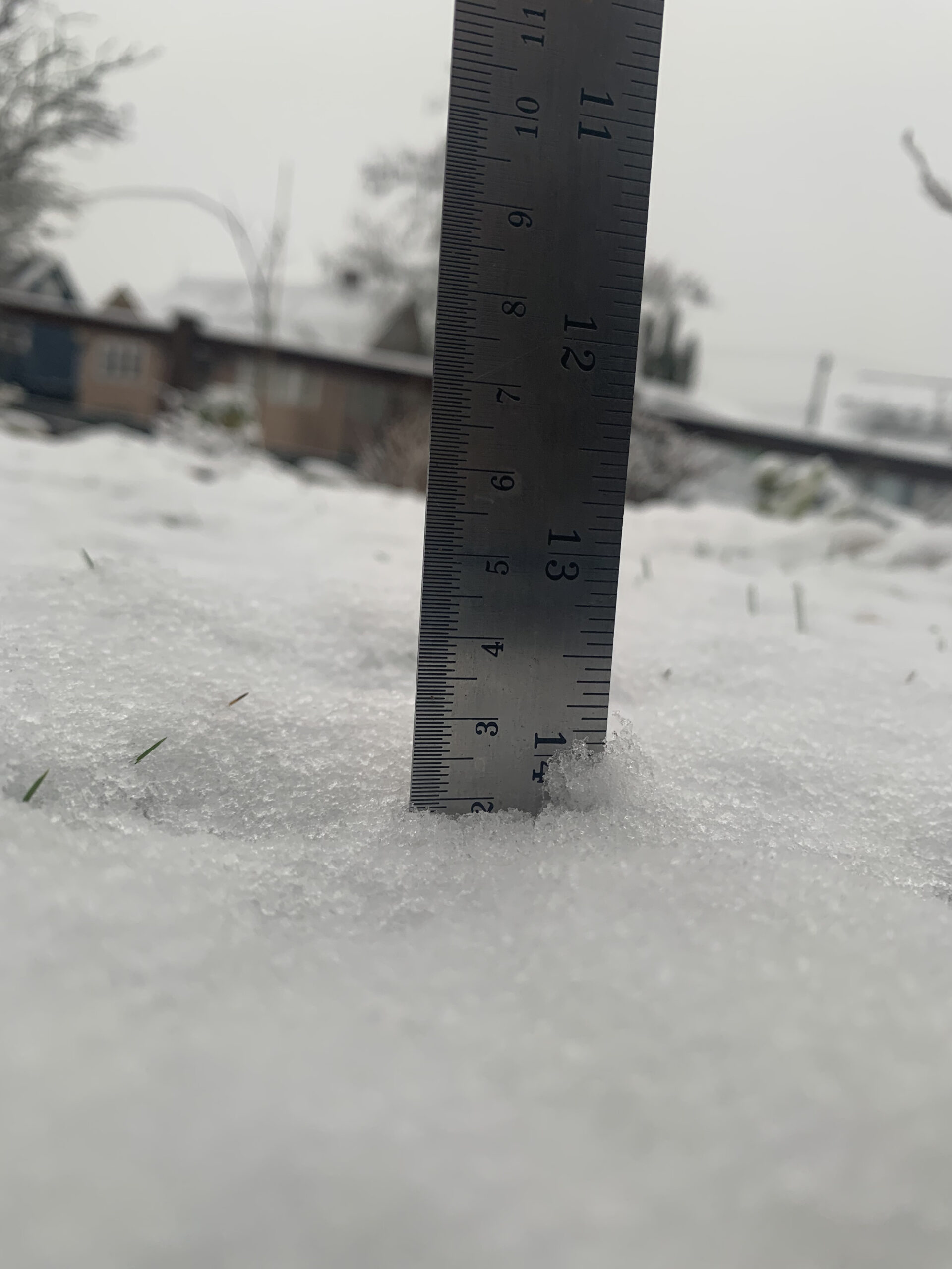
Overnight and Early morning snow or rain. Happy The-Big-One Day!
One more blast of possible snow. We will get another round of precipitation starting tonight. Precipitation will start in most areas before 1AM Wednesday except Port Alberni. Whether it is snow or rain is very difficult to say. Hope for the best, expect and prepare for the worst! Many areas of the east coast will…
-

Snow Contest Winners! Rob, Judy and Maurice – Winners of “Reverse” Prize to Port Alberni Businesses.
It finally happened! Barely! Once again we were on the very edge of declaring a winner in the Port Alberni Snow Contest for Winter 2020/2021. We almost got there back in December but we just never quite got measurable snow. Overnight and this morning though that changed as we got a solid enough covering to…
-

Timing for the upcoming mixed high elevation snow and rain
The level of excitement is maybe a little higher than the actual chance for significant snowfall in any given spot. Much like we saw in December, we don’t have enough cold air in a stable and persistent way to guarantee an Island wide snow event. So let’s look at the most likely spots for accumulation…
-

Staying dry, clearing and cold with very cold wind Thursday and Friday preparing for Saturday and Sunday rain and snow.
Mix of Rain and Snow over the Island Both Environment Canada and UWash are pretty solid on predicting snow or flurries for all parts of Vancouver Island on Saturday night and into Sunday but also rain. So we should expect a very mixed bag with some areas only seeing sleet and some having significant snow.…
