
Category: Cold
-

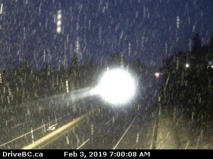
More snow on the way Monday night and Tuesday for the whole Island.
Updates: Here is a twitter thread predicting times… we’ll see how accurate the Storm Radar app is. SD70 schools are OPEN New Snowfall warning issued Monday. Warnings4:51 AM PST Monday 11 February 2019Snowfall warning in effect for:Inland Vancouver IslandA long period of snowfall with total amounts of 10 to 15 cm is expected. A second…
-

Another Snowfall Warning for Cowichan and East VI
Final Update Schoold District 68 in Nanaimo and 71 in Cowichan are closed Monday. VIU is also closed at all campuses Monday except Powell River. Follow the new post Monday for more details of snow Monday night and Tuesday. And now a Special Weather Statement for Monday afternoon and Tuesday snow. 8:05 PM PST Sunday…
-

Updating all day Friday. Snow all areas Friday. Extreme wind chills overnight.
Extremely cold windchills, risk of frostbite. This is a first in the EC forecast in 12 years of Alberniweather that I remember so it is worth a place at the top. “Friday night: Periods of snow ending near midnight then partly cloudy. Local amount 5 cm. Windy. Low minus 9. Wind chill minus 8 in the evening and…
-
The cold is here. East side Snowfall warning. Snowing in Ladysmith.
Updates… most recent at top. Original Post It is 0°C and the windchill so far this morning in Port Alberni has been down to -3°C. It will get colder. There is a snowfall warning. The easterly outflow winds are blowing across the Strait onto the east side of the Island and that is going to…
-

Updated 8:15PM Saturday – East Coast Snow Sunday into Monday but not likely in Port Alberni
Update 8:15PM Saturday – Alberni snow possible. Some updates. The models have changed a little. I won’t go into detail until later tonight or early tomorrow morning as the models are just about to update again, but I thought it was worth mentioning that the models have gone quite cold. All are predicting temperatures between…