Category: Cold
-

Get lucky stuck between the rain storms? Perfect Grey Cup watching or Christmas Tree Decorating weather on Sunday
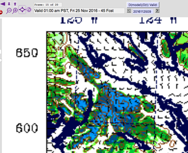
Interesting forecast this weekend. We have a few systems delivering rain to the region, but Port Alberni may just get spared the worst of it as some goes north of us and some goes south. On Friday morning the models have us with a chance of showers this morning until about 10AM. But interestingly it…
-

Snow and Sleet Falling – Careful Out there!
The forecast was just updated to reflect a little more accurately what is going on out there… and that is wet snow! Check the Webcam page Webcams for updated imagery from the Hump and Sutton Pass. Unfortunately the Hump is offline right now but here is Sutton Pass right now. Poor Visibility! ;=) There was…
-

Stormy Wednesday Night, Rainy Thursday slushy Hump on Friday— Freezing Sunday?
We are in a break between systems today but still have showers around and those showers will intensify back into rain tonight as a new system comes through. Heavy Rain is expected between 11PM and 1AM tonight with up to 16mm falling in that 3 hour period. (blue) It will back off a bit but…
-

Mostly dry Monday! Rain Tuesday. And… cooling enough for…. sn..? 🙂
We should get a nice break today. It will be fairly warm as well. We shift back into rain on Monday night and Tuesday. Here is the 24hr total 4PM/4PM Monday/Tuesday. We are in the green, up to 30mm wih Sproat Lake and higher elevations getting into the 65mm or 130mm range. The rain will begin around…
-

Showers this morning then off and on all week — but snow on Mountains?
The heavy rain is gone but it’s not completely dry. We can expect a (comparatively) weak system to come through this morning with rain. No large accumulations in our area. We should see some breaks in the clouds as well. A pleasant, if cool, fall day. Wednesday, Thursday and Friday all look decent but still…
