Category: General
-

Updated 9:30AM – Forecast Heavier for West and Fraser – Snow Melting.
UPDATE Nov 30 9:30AM – Rain has begun, updated forecast looks heavier. Total at Alberniweather so far: 15mm Gold River has a similar amount as does Cowichan Lake and Port Renfrew has nearly 30mm, likely similar to Tofino and Ucluelet (which only report rain data daily). It is still relatively dry on the East side…
-

Flood Watch in Port Alberni and most of the South Coast
Rain began around 5AM this morning We are into Flood Watches now from the BC River Forecast Centre. Here is the current message from BCRFC: Rivers are expected to see rises through Saturday and overnight into Sunday. Current precipitation forecasts and hydrologic modelling and assessments are indicating the potential for flooding in areas around the…
-

Atmospheric River on its Way Saturday and Tuesday – Prepare for the worst, hope for the best!
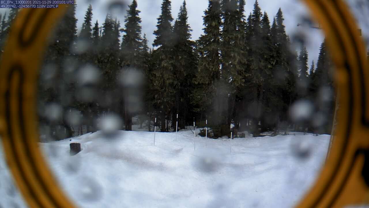
As expected, Thursday’s rain was only about as bad as an average November rain. Port Alberni Airport received just under 50mm from 9AM Wednesday to 11PM Thursday. Alberniweather received 41mm in town. Nothing too serious. What is of interest, however is the snowpack. Below is the webcam image from the new satellite-linked camera on Mt.…
-

The next Atmospheric River – Snow on the mountains, a dangerous setup for the weekend.
A Dangerous Circumstance – Be Prepared We are setting up a dangerous situation as we await the next bouts of atmospheric rivers to come ashore. While Port Alberni missed the worst of it last time, we were all still impacted by the tragedies in Cowichan, and on the Lower Mainland and Interior. We should be…
-

More Rain on the Way – Looking back at 2006
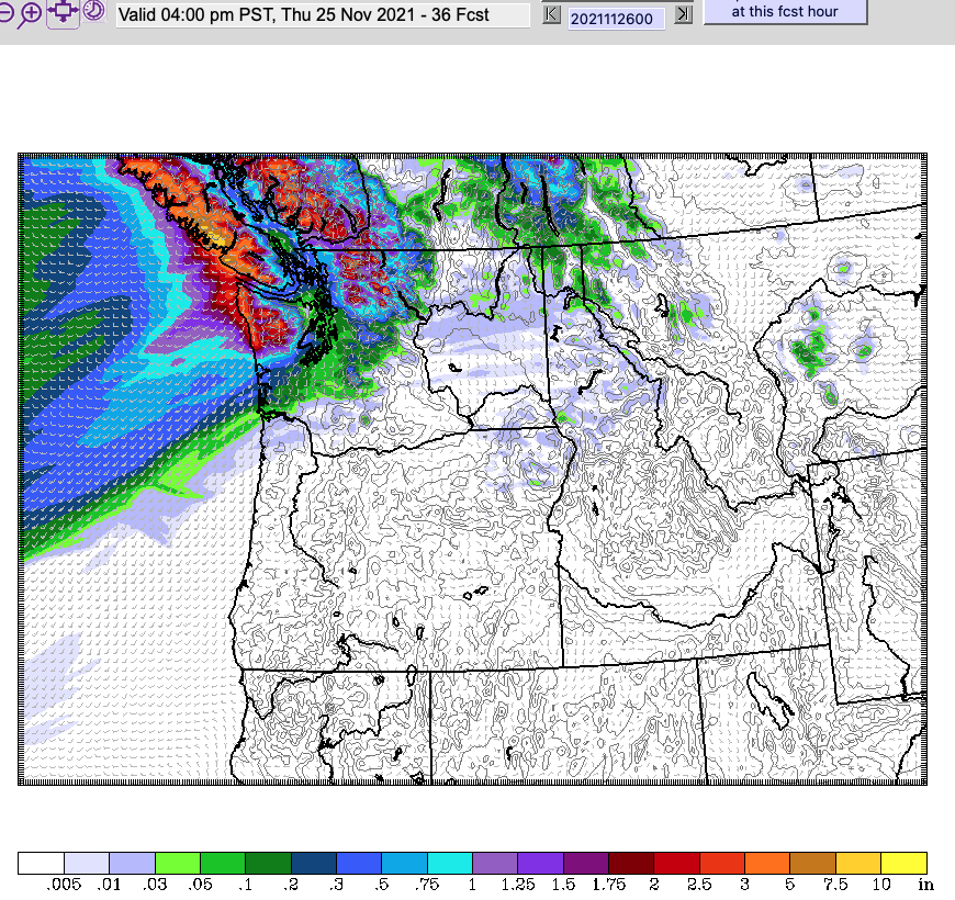
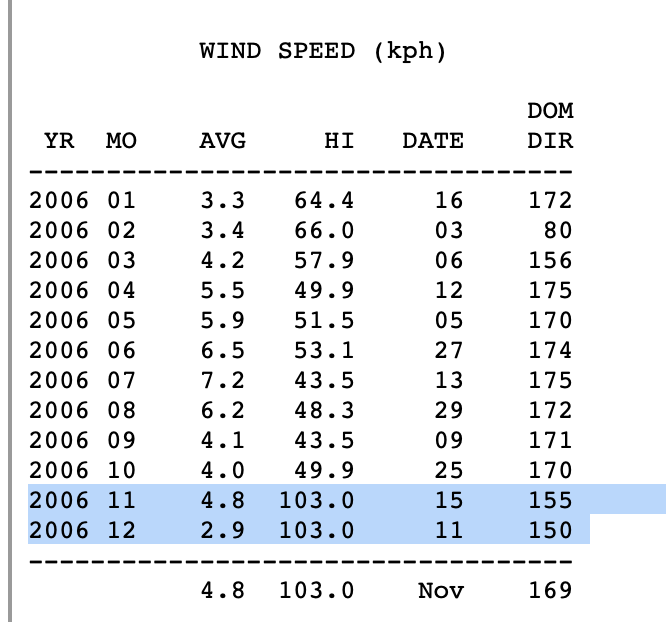
Unfortunately there is more rain on the way. We’ve not fully recovered from the deluge of last Sunday/Monday/Tuesday and this next series of storms won’t be as historic on their own, but they will not help the situation. Comparing last week to this week Here is last week’s epic 24hr rainfall forecast. All of which…
