Category: General
-

Stormy two days on the way as low deepens offshore.
Update 8PM – The Storm is forming Original Post — Third low of the week on the way There it is. (GOES-West Loop) You can see the moisture emanating from the core of the storm which hasn’t fully formed yet. It will rapidly intensify in the coming 12 hours and take on a more symmetrical,…
-

Potentially historic storm coming – Sooner, worse, Monday night better. We wait.
Update 9AM Saturday I will post a brand new post later today once the morning model runs are complete. Looks like it’s going to be a doozy. Expect Environment Canada to upgrade their Weather Statements to alerts today. Winds will begin Sunday morning and last for most of the following 24 hours. More soon. For…
-

Bombogenesis – Yes that’s a word! – Wind and Rain Coming
Hello Low A strong low pressure system, the remnants of a Typhoon will deepen quickly as it approaches offshore. Here it is this morning, near the centre of the picture “L 986” which means it is a low pressure centre at 986hPa (millibar and hectopascal are equal) or 98.6kPa. By 8PM tonight it has dropped…
-

Stormy Couple Days ahead as Atmospheric River points at us.
There has been lots of news about the weather today as Environment Canada has issued a Special Weather Statement for most of Vancouver Island. This might change to a warning, either for wind or rain or both, in the next few hours. We’ll see. System 1 – The River There it is: Or at least…
-

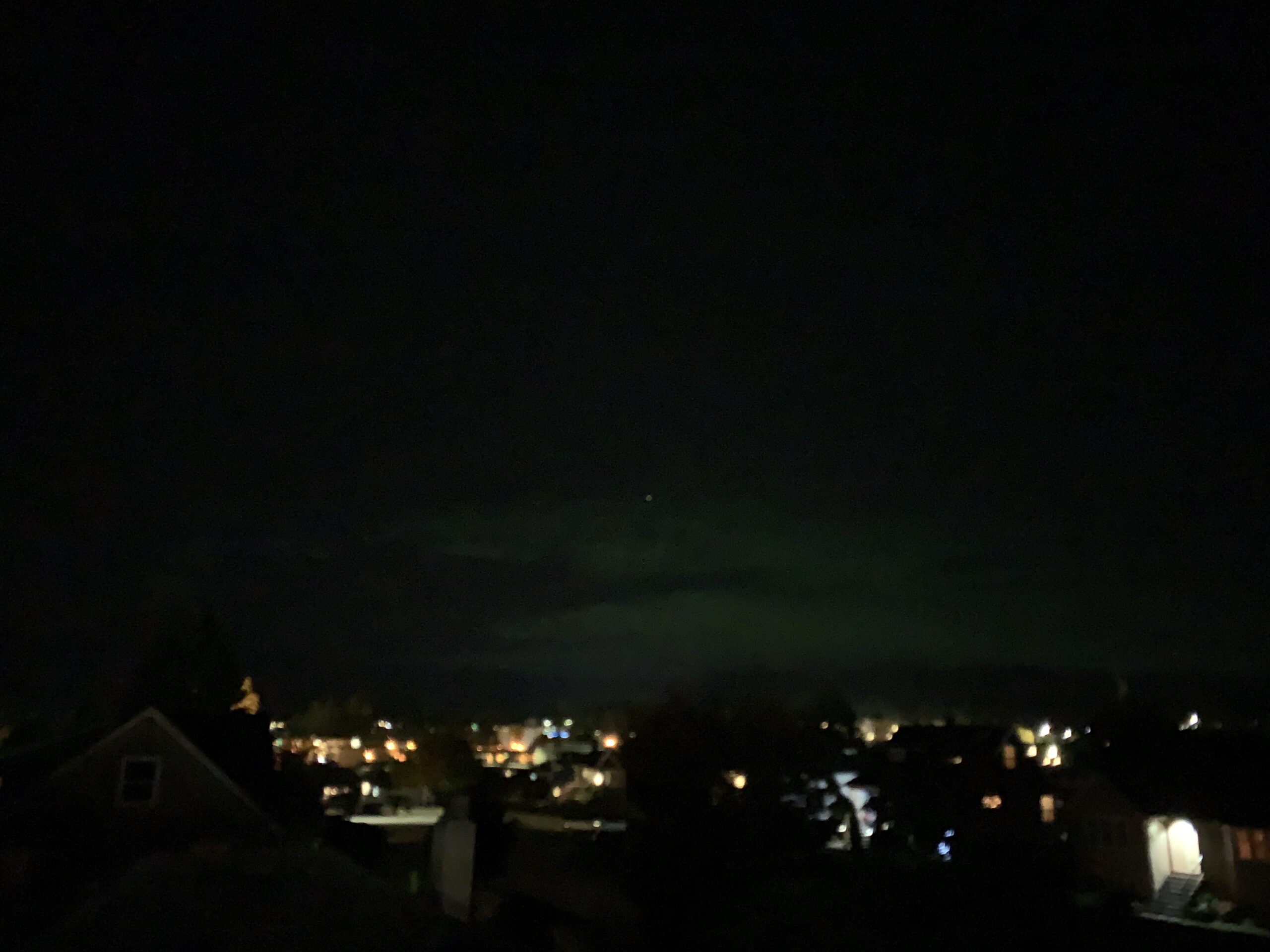
Aurora Borealis over Port Alberni Thanksgiving Monday night.
I saw this tweet from Seattle Weather Service So I ran outside, and then up on our roof, and there it was! Over the lookout and shining above a portion over the Beaufort over Beaver Creek. You could actually see a cloud in front or I am sure it would have been brighter. Hopefully it…
