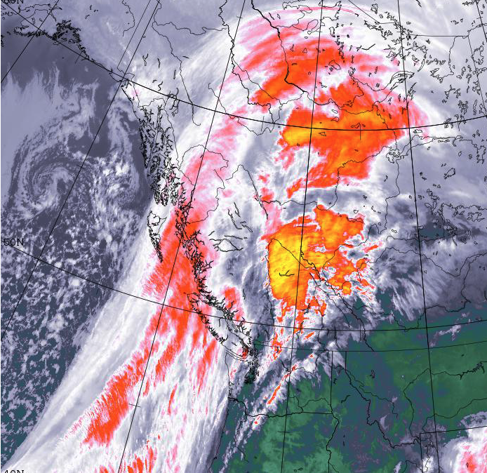
Category: Storm
-

Daylight Saving Snowman? Possible!
Saturday night rain may turn to snow briefly Sunday As you might have guessed from the gusty winds this afternoon, a change of weather is coming. We have a fairly strong, and strengthening front sliding down the Island from the North. Check it out on the Satellites Page. The front is expected to push moisture…
-

Pleasant Friday and Saturday. Possible messy Snow Sunday.
All things considered it has been quite a pleasant week with the sun shining in the afternoons and the buds on the trees and bushes growing fast! Friday and Saturday should be cloudy as we set up for a short but intense but of weather on Sunday. Sunday – Leap Forward into Snow? Sunday is…
-

Mid Island shower or flurry this evening – then Dry and cold. Moving to Pi.
Light showers Tuesday – Evening rain or flurry. There are some scattered showers lingering off the West Coast today as a weak system affects us. The moisture will gradually move onto the Island mostly affecting the West Coast later today. However. some rain will gather in the 4-7PM period in Port Alberni and the Valley…
-
Already stormy day might get stormier. Soggy Weekend.
A short Friday post. Expect the rain to stick around all day, along with wind, especially very strong on the West Coast. However, the real fun might come this afternoon as we have a chance of thunderstorms! There’s nothing on the lightning detection map yet. This wind and the chance of thunderstorm should abate tonight…
-

Possible wet snow Wednesday night – More likely just rain and windy.
After a couple quite pleasant days and chilly mornings we will have a return to precipitation Wednesday night. Expect rain to begin around 10PM Wednesday and last through the night. There will be wind with this system as well. Thankfully though, it should be all pushed through and into Washington State and the BC Interior…
