Category: Storm
-

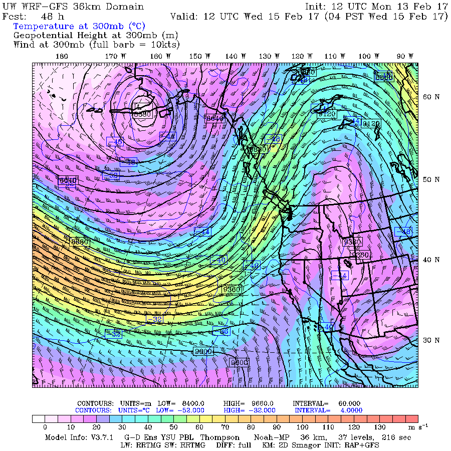
Next up: Jet Stream and Atmospheric River. Special Weather Statement Issued
It has been a glorious Family Day afternoon once the fog lifted! I hope you were all able to soak up those rays of sunshine, because in the next 24 hours it’s going to be soaking in a different way. Here is the text from the Special Weather Statement just issued by Environment Canada for…
-

Final UPDATE 7:30PM Winter Storm Warning ended – here are the Details on when and where.
7:30PM Friday – Winter Storm Warning is now ended. Still plenty of rain on the way to wash this mess away…. new post Friday morning. 6:15AM It is currently drizzling or raining. The moisture aloft has now all switched to rain so snow should be done but rain andnfreezing rain now the problem. SD70 is…
-

Update 4:15PM Tuesday – WINTER STORM WARNING FOR WEDNESDAY
Update 4:15PM – Warning Issued and Timing Below is the updated Warning statement and some predictions on timing. The coles notes version is, drizzle or flurries should start around 3PM Wednesday afternoon. Then assuming we are between 0 and 2°C we should see snow, possibly heavy snow, starting after 6PM. The question this becomes how…
-
Flurries on and off. Icy roads especially East Island
A short update. It got down below zero across the island and there is plenty of ice on the road. We might have the odd flurry through the day but nothing too serious. The south and east island are getting some Strait effect snow in patches so if you are driving in that area, especially…
-

Flurries on/off today. More Snow expected Saturday Night
Well, depending on where you are in the Valley you likely woke up with as much as a foot of snow, 30cm, on the ground. We received a whopping 18.5cm here at Alberniweather. That is the most we have had for a number of years. (2009?) There was so much snow my webcam had tunnel…
