Category: Storm
-

Significant rain coming late Wednesday through Thursday
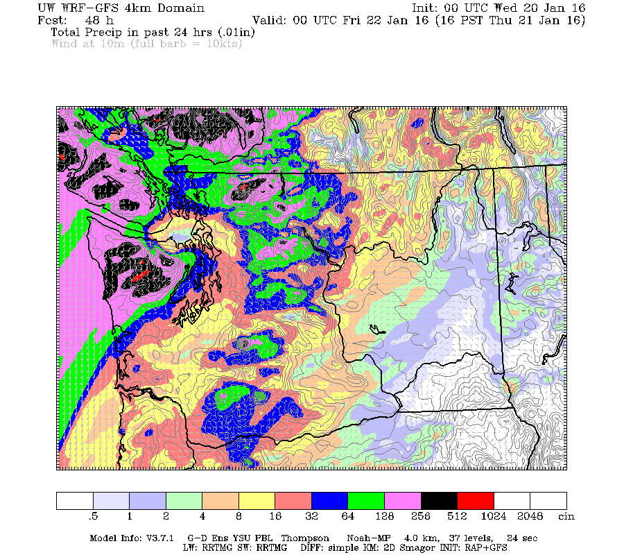
Rainfall amounts of up to 60mm are possible between Wednesday and Thursday evening. We haven’t seen this strong a rain event since early December. Below is the 24hr chart. The rain will begin around 10PM tonight and intensify overnight with the heaviest rain coming between 1-4AM. It will rain all through Thursday and into Friday…
-

Updated 1:00PM – Snow moving up Island this morning. Monitor radar and Drive BC
Updated 1PM – East Vancouver Island Snowfall Warning Issued. We’re tougher in Port Alberni, we don’t get a snowfall warning for “only” 5-10cm. 😉 12:27 PM PST Tuesday 05 January 2016 Snowfall warning in effect for: East Vancouver Island Snowfall, with total amounts of 5 to 10 cm is expected. Snow will continue over East…
-

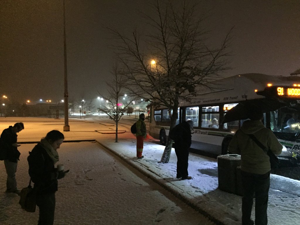
Updated 10AM : Unexpected Monday morning Snow in Nanaimo. Possibly more coming.
Updated 10AM: https://twitter.com/alberniweather/status/684069598027620353 Updated 9:15AM Latest Radar is showing another wave of precipitation/possible snow coming over the Strait towards Nanaimo/Parksville. (not likely to reach as far as Port Alberni). UPDATED 8AM There was nothing in Port Alberni or Parksville at 6AM or 6:45AM when I was there but then I looked up from my iPad…
-

It was warmer at the North Pole – Dry until Monday – Earthquake Stats
Weather remaining the same The weather is going to remain pretty much the same for the next few days as we are in a high pressure area. The Fog is likely to stay through most of the day. If it does clear up overnight it will get down to around -3ºC or -5ºC. There is…
-

Final Update 8AM Sunday – Final Storm of December procession could be biggest.
Final Update 8AM Sunday – Warning Over. A look at wind around the Island. Environment Canada has removed the Wind warning for our area. Once again, yesterday has proven that predicting high winds in Port Alberni is exceedingly difficult. Our top gust at Alberniweather was only 38kph while Maquinna school got up to 58kph. Warnings…
