
Category: Wind
-

Winter Storm Warnings Issued (Now ended)
Update 10:30AM – Warnings ended. Rain is here. Expect this rain to continue most of today and tomorrow. We should see temperatures over 5°C before nightfall Saturday. Update 7:30AM Rain has begun in areas… significant snowfall at higher elevations around Port Alberni like the lake and south end. Update 7AM – Warnings updated. Here is…
-
Highways clear Friday morning – Weekend of slush and rain on the way.
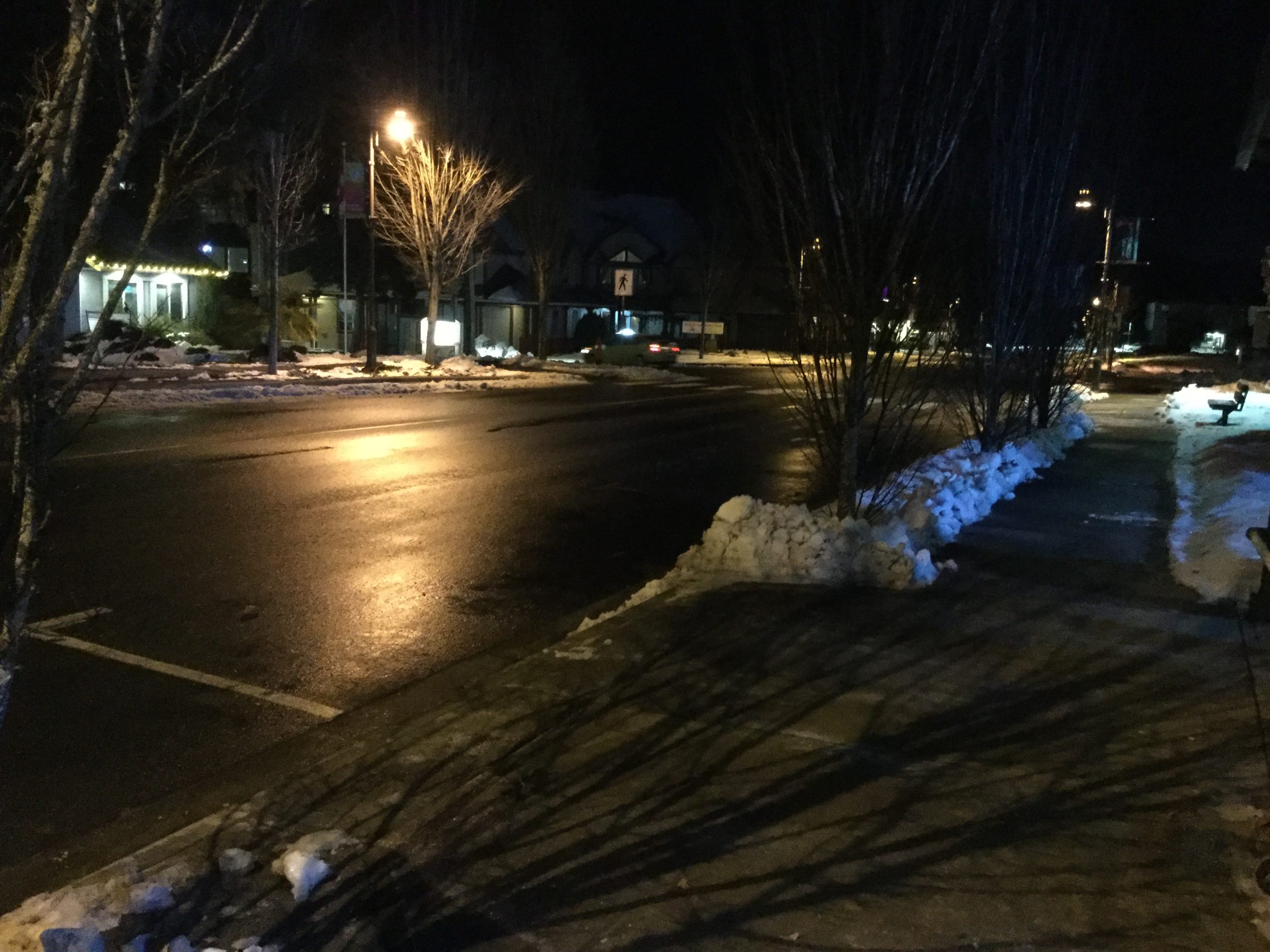
Quick road report Quick report as I wait for my bus at Parksville. The roads were pretty good with only a few patches of slippery snow around Cameron Lake and before Parksville. It is below freezing everywhere though and the melt yesterday has made for icy patches especially near the edges of roads and streets.…
-

50cm of snow? Yes… Ladysmith, Nanaimo, and Lake Cowichan, I’m looking at you. Other places, less, but plenty.
FINAL POST UPDATE (10:30AM Thurs) There is blue sky! Right after the crazy sideways slush… anyway. I think we can count this particular storm over. So this will be the last update for this post. Thanks all for visiting and for your contributions. Update 7:30AM – SD70 Open – Highway slippery sections Update 6:45AM –…
-

Snow falling around the Island this morning and all week.
Just got in to work after a snowy drive. Especially south of Whiskey Creek. Be careful out there! I will update this post later on. For now, be aware there are snowfall warnings for West Vancouver Island. There is about 3-5cm of snow in Nanaimo at VIU. The roads are very slick. Be careful out…
-

Strong northwesterlies Saturday shift to Strait Effect East Island snow Sunday.
The latest model is out and it’s snowy. Saturday wind – expect Ferry cancellations. Strong north westerly winds will begin on the West Coast tonight. By 5AM they will have begun in northern parts of Georgia Strait. By 7AM they should surround the Island and start to cancel ferry sailings. (Note the barbs in the…