
Category: Wind
-
Freezing Rain possible Monday morning – Heavy Rain expected for next 3 Days
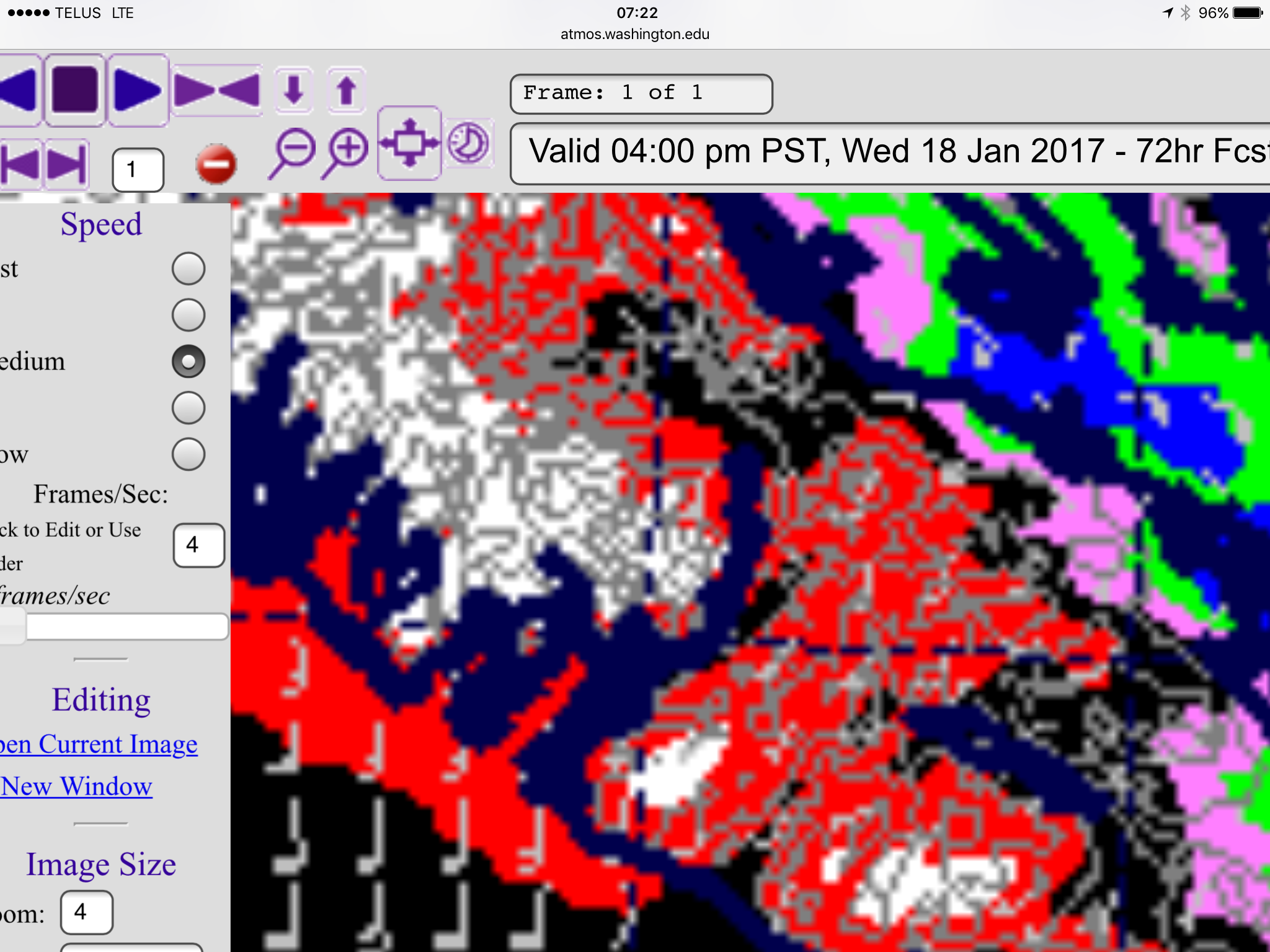
The kink in the jetstream (climate change) has finally untwisted (you can see the faint twist left in the image below) and we are now the target for some very heavy rains dragged across the Pacific from the Phillipines and the Himalayas! It actually makes me wonder how much smog from China might be coming our…
-

Back to seasonal temperatures. Stormy Tuesday. Likely green Christmas but we can hope 🙂
The snowfall warning yesterday was a bust. The Arctic just wasn’t strong enough over the South Island and much of the precipitaiton during the day focused on Metro Vancouver. There is over 40cm of snow in some parts of Surrey! We will now transition to a wet and possibly windy pattern this week. The rest…
-

Snowfall Warning Issued – 10-20cm – possible Freezing Rain
Final Update 9PM Sunday The warm winds have come. We have gone from 0°C to 4°C in less than 30 minutes and the wind has switched to the SSW. Strong winds are reported on the East side. 50-60kph at Hornby Island. Expect the Snowfall Warning to be lifted soon. Update 12PM Drizzle is starting in some…
-

Snow, Freezing Rain and Rain on the horizon plus… a surprise?
EC’s updated weather statement at 4PM Friday says As usual, snowfalls will be highly variable; current thinking is 5 to 15 cm of snow by dinner time Sunday with the higher amounts expected inland and over higher terrain. That’s up to 6 inches for the old fashioned folks! It might be very messy out there…
-

6:30PM – Tapeipring off but still more snow expected
Final Update 6:30PM Saturday https://twitter.com/alberniweather/status/807771485565636608 We received about 8 more cm today and I have 25cm on the ground. We may have another 5cm tonight and 5cm coming tomorrow. Today was also the warmest day. It is going to stay around freezing and starting Monday it will get down below freezing and maybe clear up…