
Category: Wind
-
Update: 3PM Wednesday – Streamflow Advisory – Please Conserve Water Today – Lots of Water Falling tonight
Update 3PM Wednesday: Streamflow Advisory Issued. The BC River Forecast Centre is issuing a High Streamflow Advisory for Vancouver Island including: Central Vancouver Island (including the Somass River) West Vancouver Island East Vancouver Island A multi-day atmospheric river event is expected to impact coastal British Columbia over the next several days. Heavy rainfall is expected to begin on Thursday, with several…
-
Very warm and wet weekend – and the Webcam is back – A Guide to the Setup!
the rain has begun. It won’t stop more than a few minutes or hours until Sunday. As I detailed yesterday, the west coast is in the crosshairs with some potentially extreme amounts. Our totals are I think a little less sure but should get into the 30-50 range for the three days. Spring temperatures Check out…
-
Update 10AM – Deepening Low on the way. Strong winds and rain possible.
Update 10:15AM. My poor roof can’t handle much more. After the big storms in December with 100kph gusts, the meager 50-60kph gusts are causing some severe flapping of our shingles. Update 10AM: We’ve achieved a second peak wind gust late this morning of 61.1kph at around 9:30AM. The first peak was very early this morning around…
-
Fog Should Burn Off to Sun – More Rain coming
The fog should burn off this morning. Elsewhere on the Island it is clear and beautiful. When I walked out the door the sky was actually just barely covered in a light fog and you could easily see the moon shining through and Mt. Arrowsmith in the distance. However, things quickly cooled and caused the…
-
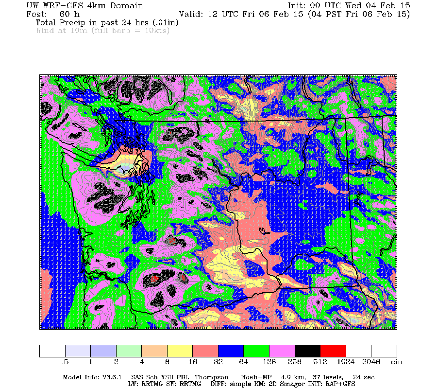
Rain Thursday morning and through the day – Wet Weekend
The rain should begin by early Thursday morning. The rain should build through the day with the heaviest rain coming in the evening between 3 and 5PM. It should then taper off by late Thursday night and be dry and cool on Friday morning. Total rainfall for the event: no more than 50mm There is…