
Category: Wind
-

January 2024 – Extremes on both Ends – Near Warmest – But Far from Coldest
Just wait until you hear about 1950
-
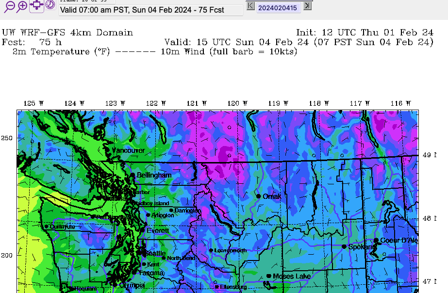
Rivers still high – Weekend Drying out – Podcast Up
Podcast Up – February 1 – Looking at River Levels and the Forecast For those of you who prefer a video. Here’s the latest podcast companion to this post. Please do Like and Subscribe. My intention is to always have a podcast with a blog post but I might not always have a blog post…
-

New Podcast Up – Where we’re at with the Atmospheric River and River Watches
Check it out – Please do Like and Subscribe No blog post tonight except to announce the latest Podcast. But have you felt that warm wind! 12.5ºC as I was making the Podcast. And more rain coming Wednesday after a break on Tuesday. Details in the video: Thanks for watching. You can subscribe to the…
-

Post and Podcast – Expecting 75mm or more – Atmospheric River – BC River Forecast Centre issues Flood Watch
Podcast is up You can see the latest Alberniweather.ca Podcast here: Subscribe to the Channel! River Forecast – Data Shows High Flows I’ve been looking at the latest data from the water meters on the Sproat and Ash rivers near Port Alberni. The current data shows the levels and discharge rates rising to 1y-2y period…
-

Atmospheric River incoming – New Podcast up
The rain has begun As you’ll see in the Youtube, we have more on the way! January 26 Podcast Expect Weather warnings – Flood warnings in effect The Special Weather Statement currently issued (see link to the side) makes it pretty clear we will see some warnings. I expect wind warnings this weekend and likely…