I’m glad I waited through the morning a bit for the morning models to finish. The forecast for tomorrow is not uncommon, but still a difficult one.
California Calling
While not nearly as torrential, the rainy weather that has been soaking parts of California is moving north and pushing our cold air out of the way at the same time.
Calling for Cold Air Confusion – Be Cautious
(sorry for the gratuitous alliteration 😉 )
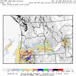
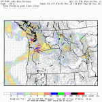
Here are the line up of forecasts for Thursday around 10AM, click for larger versions. All models roughly agree on timing. The precipitation should occur from around mid-morning to mid afternoon on Thursday. Where the critical disagreement lies is, what the temperature will be the night before and the in the morning.
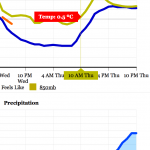
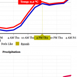
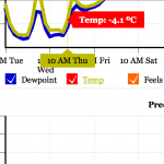
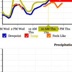
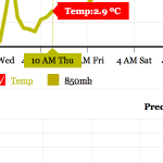
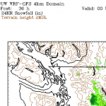
If it is like it is right now as I type in Port Alberni. Foggy, easily below freezing, and stagnant… then you can expect snow to fall.
If the fog lifts but there is no pulse of warm air andthen we could have snow, or freezing rain, or sleet… who knows.
If it warms up today and lasts through the night, then we could have nothing but rain showers.
The Verdict?
At this point, I’m going to go with the UWash and GFS models as they are generally the most accurate… though UWash was notably completely wrong on last Fridays’ snow I think this system is a tad more predictable for the models to get a handle on.
However, they do not always predict the very local effects of our Valley and the cold air that it can harbour jealously for many more hours than other places might.
So… I’m going with ain… with a chance of sleet or freezing rain but this is a very low confidence forecast.
If we wake up tomorrow and it is at or below freezing… get ready. If it’s 3º and overcast… there should be less to worry about.
Timing
The first very light showers/flurries/sleet/freezing rain should begin around 8 or 9AM Thursday morning and be on and off all morning.

It will get a little more serious from around Noon to 2PM.

By nightime 8PM we should have full rain. There is always the outside chance the cold air has hung around all day and this falls as a nasty mix of sleet and rain and snow. Lets hope mother nature keeps it simple. If the temperature is still within the 3º C range though, any heavy precipitation could drag down the temperature back into the 1-2ºC range and produce heavy snow or sleet.

It will remain showery all Friday and pick up steam again on Saturday.
Happy Thursday!

