The kink in the jetstream (climate change) has finally untwisted (you can see the faint twist left in the image below) and we are now the target for some very heavy rains dragged across the Pacific from the Phillipines and the Himalayas!
It actually makes me wonder how much smog from China might be coming our way.
The jet will be close enough to us early in the week to bring us significant rainfall, but one more image of it before I get into our rain, check out California later this week getting the full force of that jetstream. Expect flooding down there.
Now, for our forecast locally.
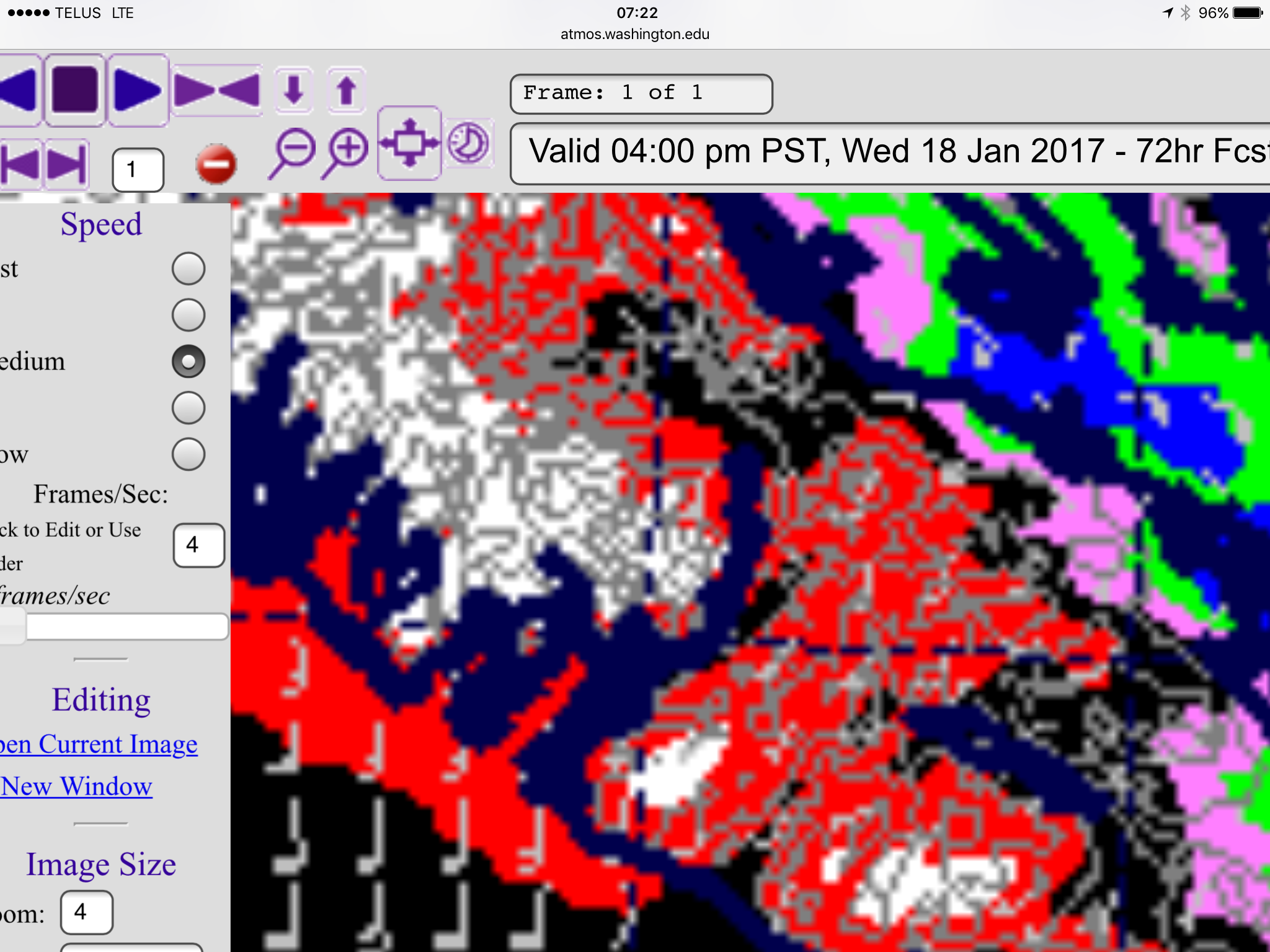
In the 72 hours (3 days) between 4PM Sunday and 4PM Wednesday, we are expected to receive between 63-130mm of precipitation (black). It may start as snow, but it will all melt and most of it will be rain.
Notice areas on the west coast and the high elevations could receive up yo 500mm (20 inches).
This is the same time period, but for snowfall. Notice it is nearly blank. This is going to be a warm, and very wet series of storms.
We have already recieved a few ice pellets and possible freezing rain. This will be a risk through Monday morning.
Rain should beginn shortly and the UWash hourly model shows no break in the precipitation between now, and Wednesday.
Strong rain should begin around noon today:
This first bit of rain may fall as sleet or snow to begin but it should become rain quickly.
The rain should build through the afternoon and the strongest rain will be around 7PM tonight,
It will ease off a little tonight before picking up again after midnight.
The rain will be strong early Tuesday morning and then back off late Tuesday morning before getting heavy again on Tuesday evening.
Wednesday will be the final day with rain heavy again around midday before finishing off the storm Wednesday evening.
Clear out your gutters and storm drains if there is anything blocking them and batten down the hatches. 🙂


