Incredible Weekend – Mt. Klitsa Summit – Rain by Wednesday
It was a picture perfect weekend!
It was even more perfect because I got to do something I have always wanted to do… climb Mt. Kiltsa. Thanks to Rob Frolic who extended an invitation to go on a hike up the mountain with his mom and his two friends, I achieved that goal, and with my Mom too!
This post will be dedicated to the hike! You don’t need to know too much about the weather in the next day or so anyway since it should be sunny Monday, cloud over a little Tuesday and then rain is supposed to sweep across the entire Island starting by late morning Wednesday.
Now…. the Hike! Using the Trails.app on my iPhone I managed to get a good trek path. You can download the Google Earth KML of just the Hike only or the Full with some driving approach or full GPX file for GPS programs. This also allows me to pinpoint all of my pictures based on time, which is pretty awesome.
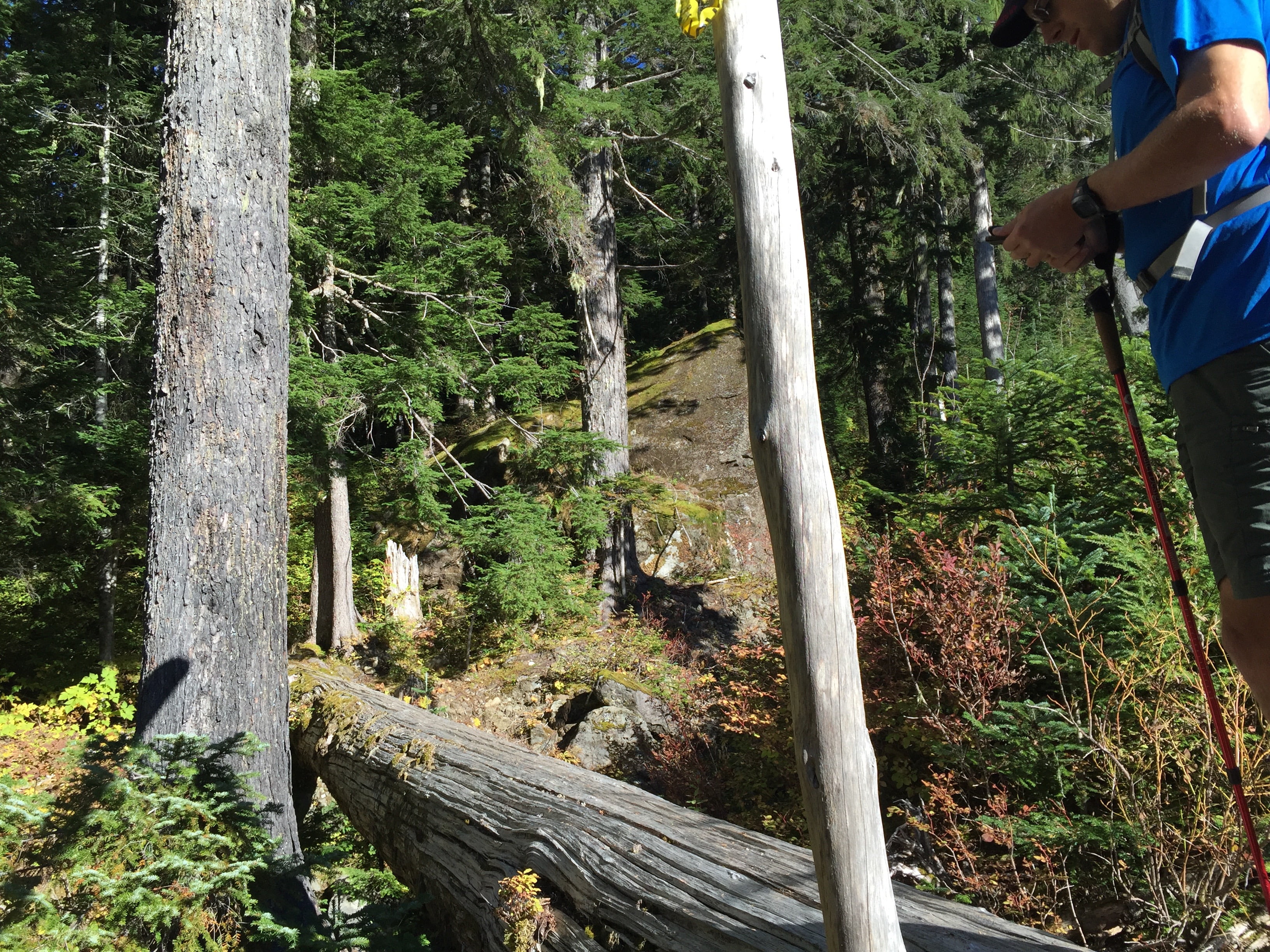
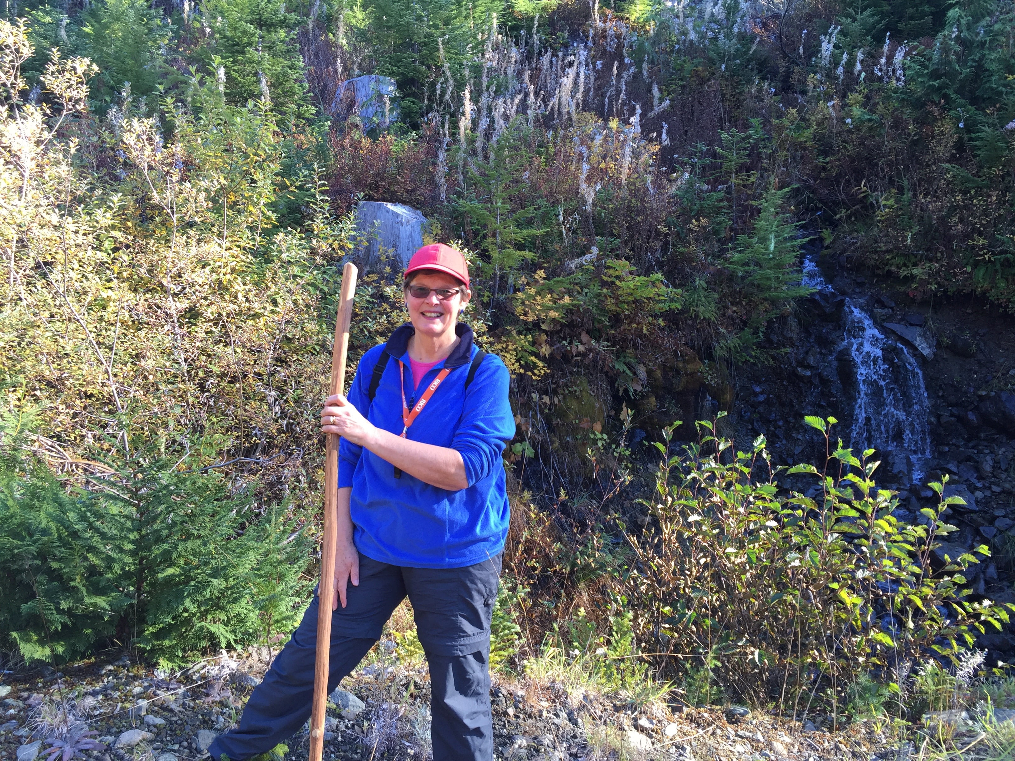
Point 1 – 791m elevation at trailhead 10:37AMThe trail begins with a crossing by log.My mom Erica beside a small stream on the road just before the trailhead.Trailhead
Cresting the first big ridge. 955m elevation – 1.7km travelled – 11:17AMThis was the first time we really emerged from the deep forest and into the Alpine areas. We’re approaching an hour in and we have travelled around 1.7km and gone up 160m.
11:26AM – 1.8KM travelled – 970m elevation – (180m gained)Some of the fall alpine colours, and perfect clear blue sky.
982m elevation – 1.87km traveled – First stop and snack break at an unnamed lake/pond. 11:28AMNice clear lake.
11:49AM – Through 1000m elevation now – 1010m – 2.14KM travelled.More incredible fall colours – We think the red bushes were blueberry or huckleberry.
12:16PM – 1113m -We’ve travelled over 2.7km now approaching 2 hours and gained 320m elevation. We took another break. We are just past the halfway point in travel but have another 500m to go for elevation.That is Mt. Gibson which is around 1300m high.
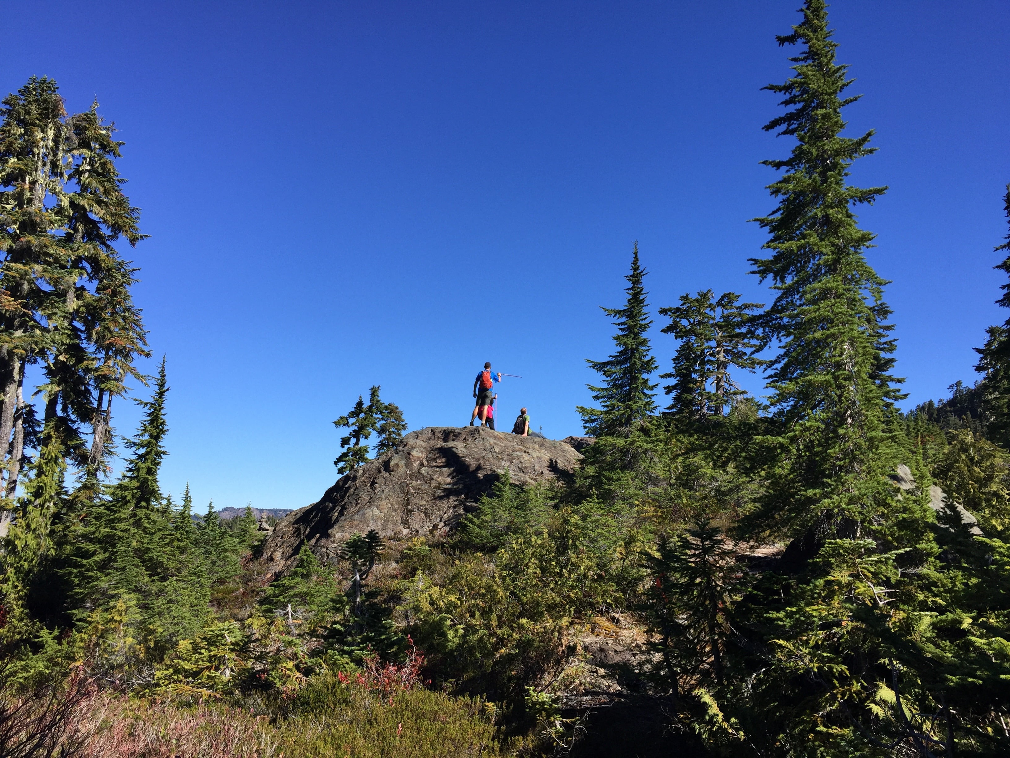
A fairly steep section. 1135m – 12:26PMBut the view is only getting better.That bluff is a big moment….
12:29PM – 2 hours in – 1140m – 2.8km travelled we finally get our first glimpse….To the East. Our destination is in full view. The peak of Mt. Kiltsa. It is still exactly 500m higher and we don’t realize at this time that it will take us another 2.5hours to get there!
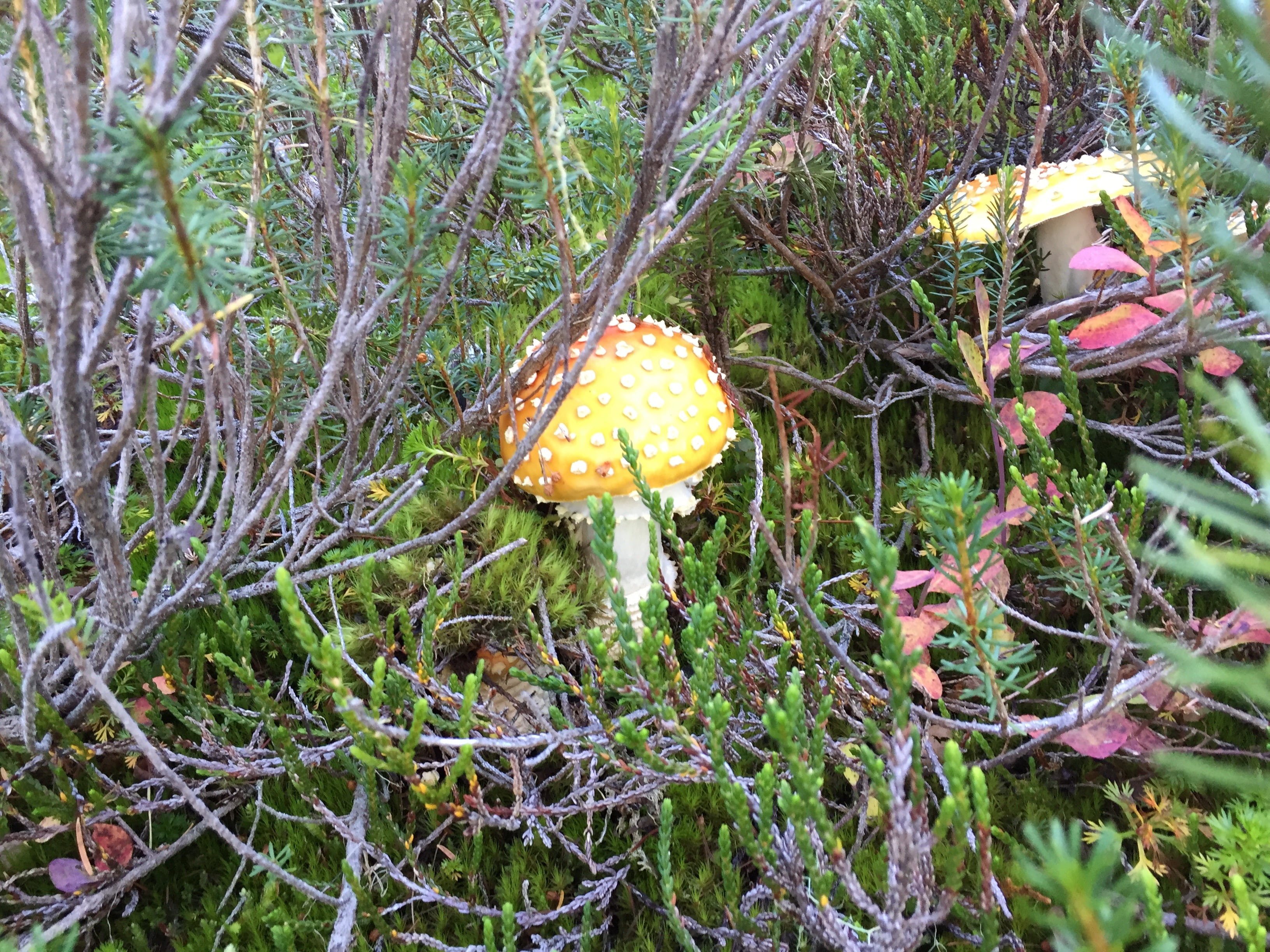
The climb is getting steadily steeper and more exposed at 1186m. 12:45PMAnd yet there is still a lot of flora (and the odd squirrel). Including a whole grove of these mushrooms. Best not to touch. They look special! —- upon further consultation, good thing we didn’t touch them. They are indeed poisonous to the touch!
1229m – 12:57PM – 3.3KM travelled – 400m to go. We are bluff climbing as we near the final peak.The view ahead. It may be October 5th. But after over 2hrs of hiking, that sun feels plenty hot. Air Temperature is likely around 20ºC though I would estimate.The view behind. It’s tough going, but still smiling! and plenty of view to look at.
1243m – 1:09PM – The steepness is increasing.But we are now nearly above Mt. Gibson. 🙂 (balding hill on right)
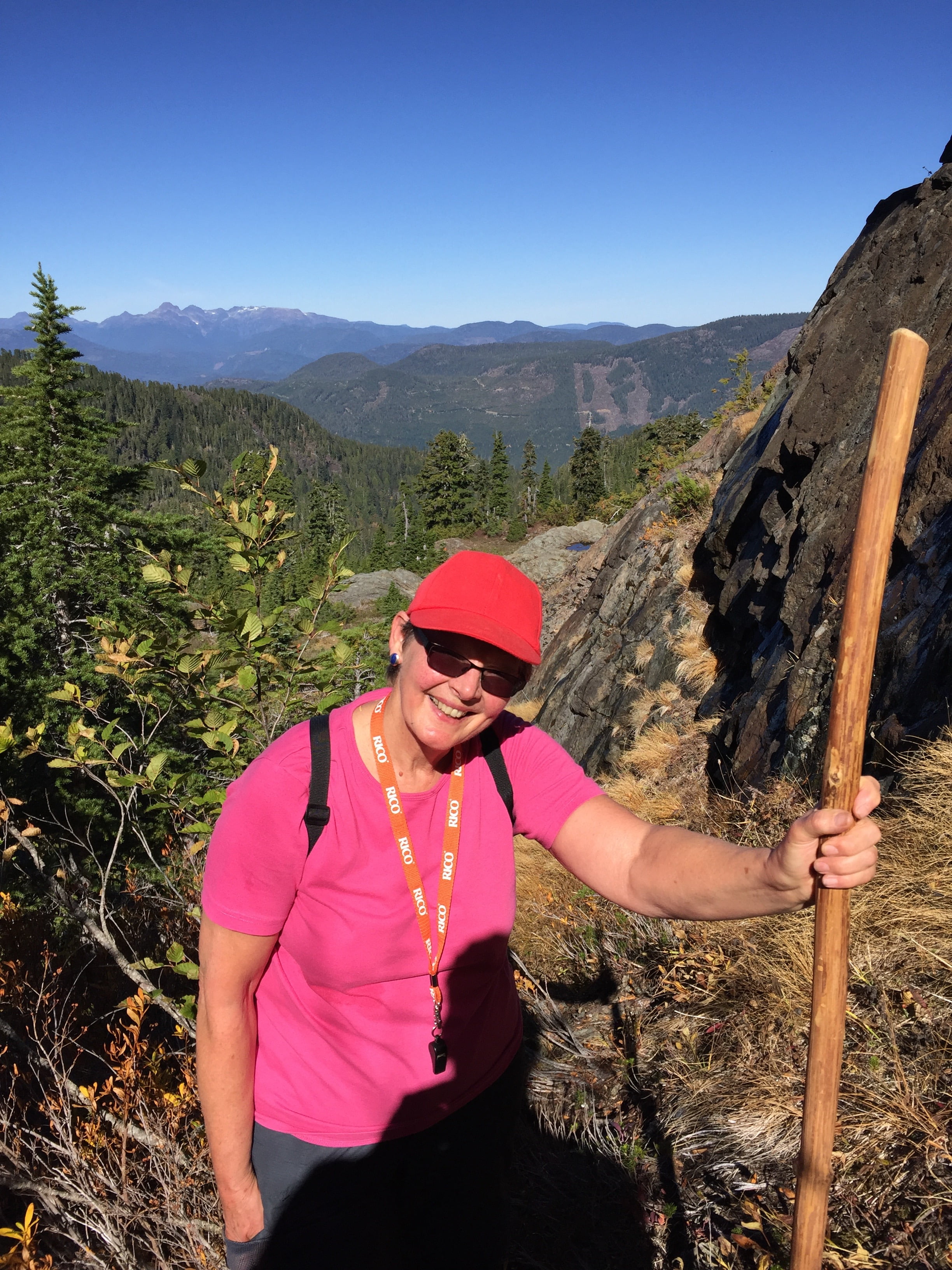
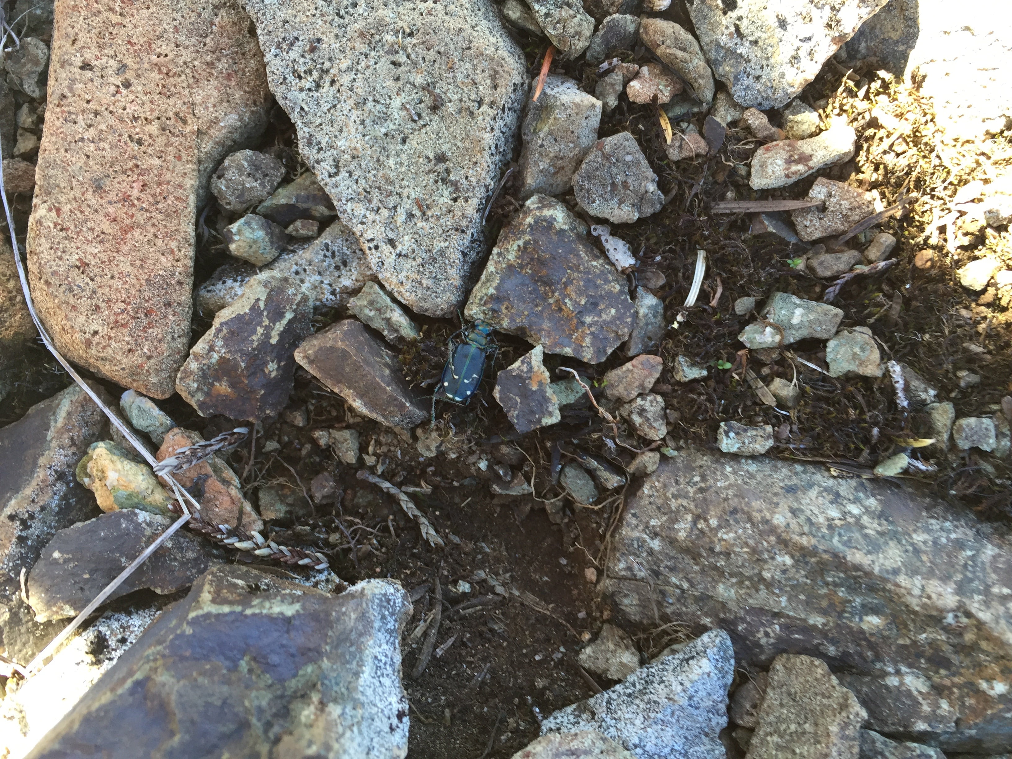
1322m – 1:27PM – 3.7km travelled – 320m elevation to go.Even at 1322m elevation there are bugs (there were a few flying nits, but not biting) and this green beetle that I made sure not to step on.
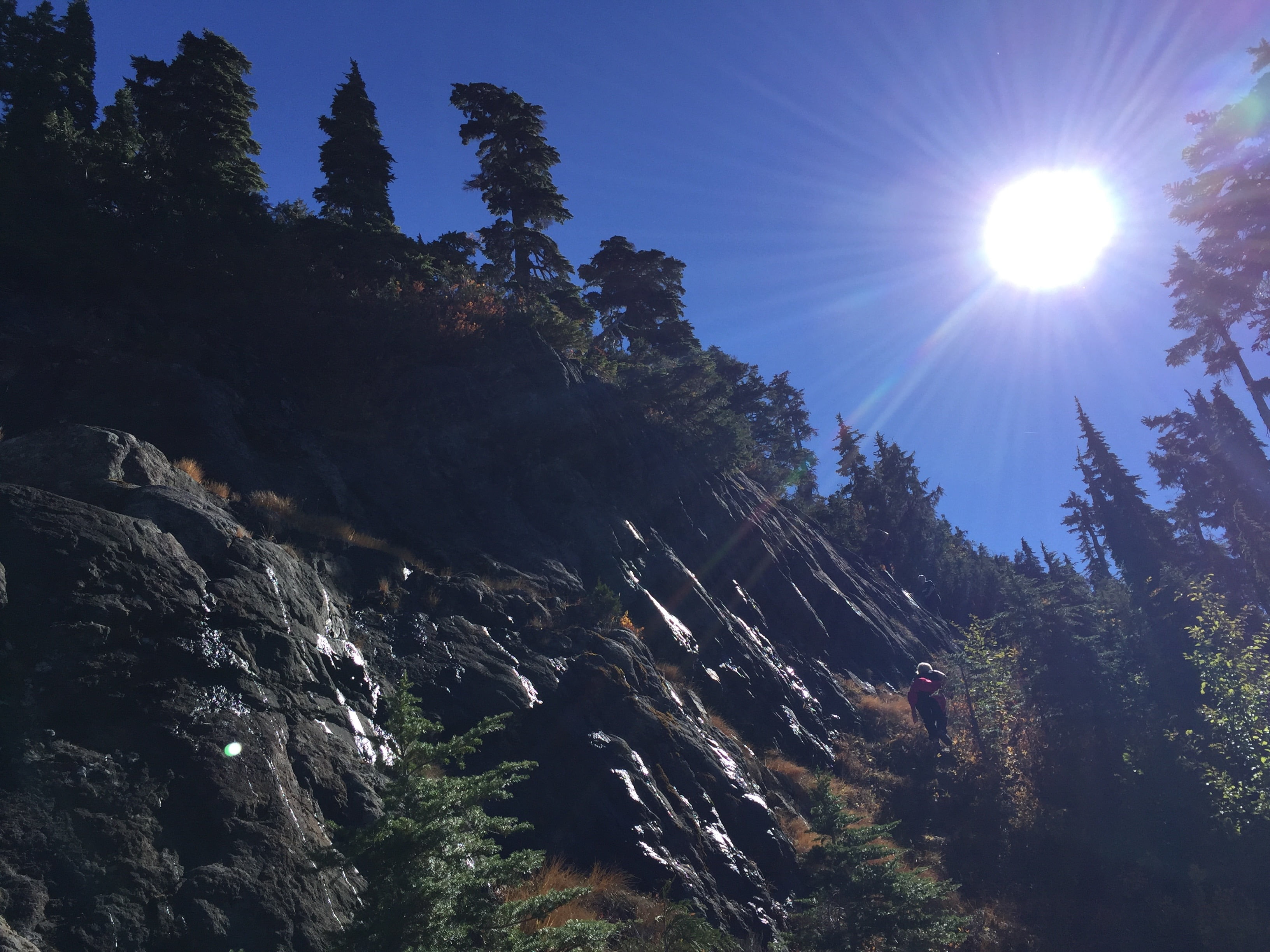
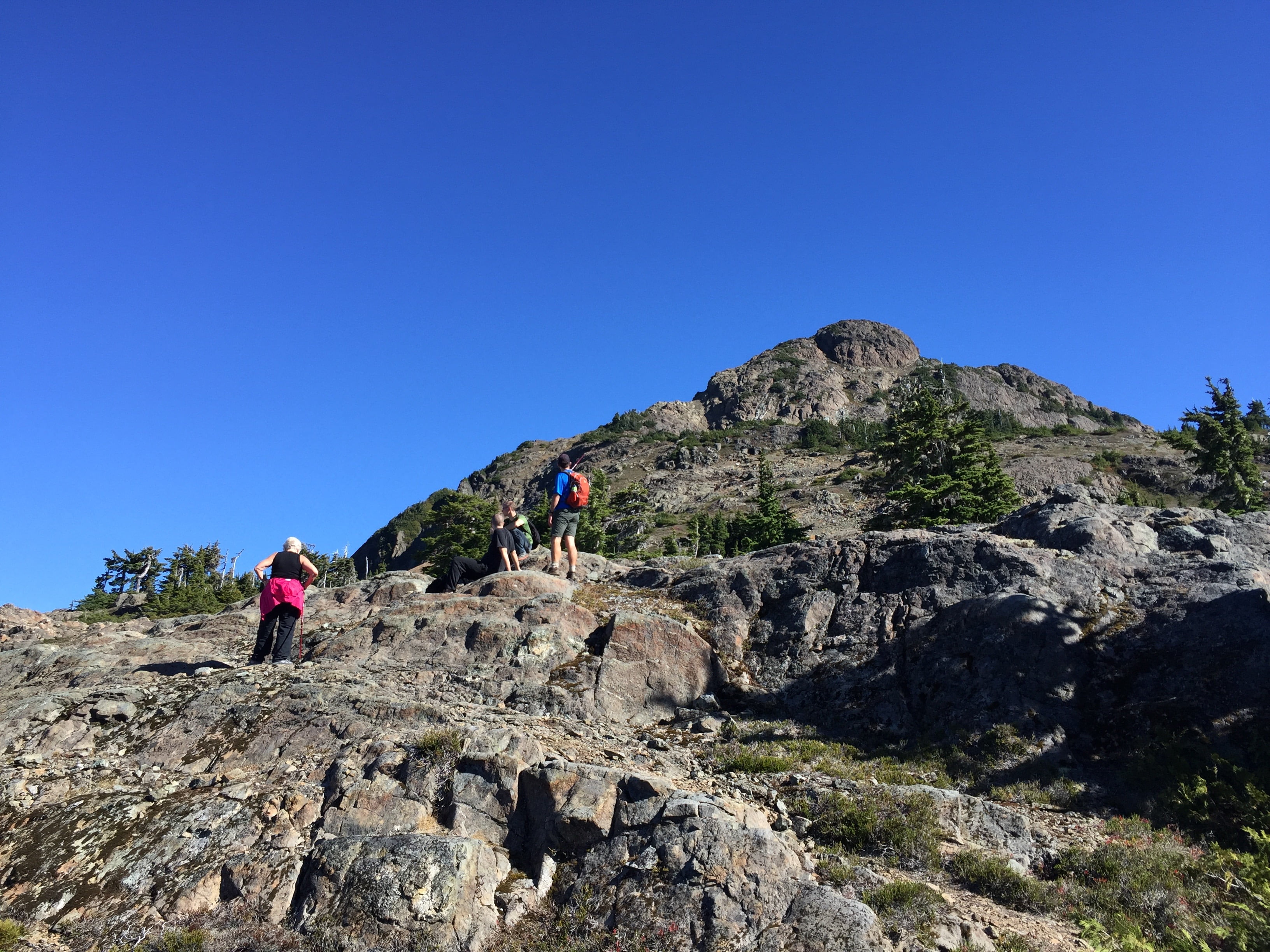
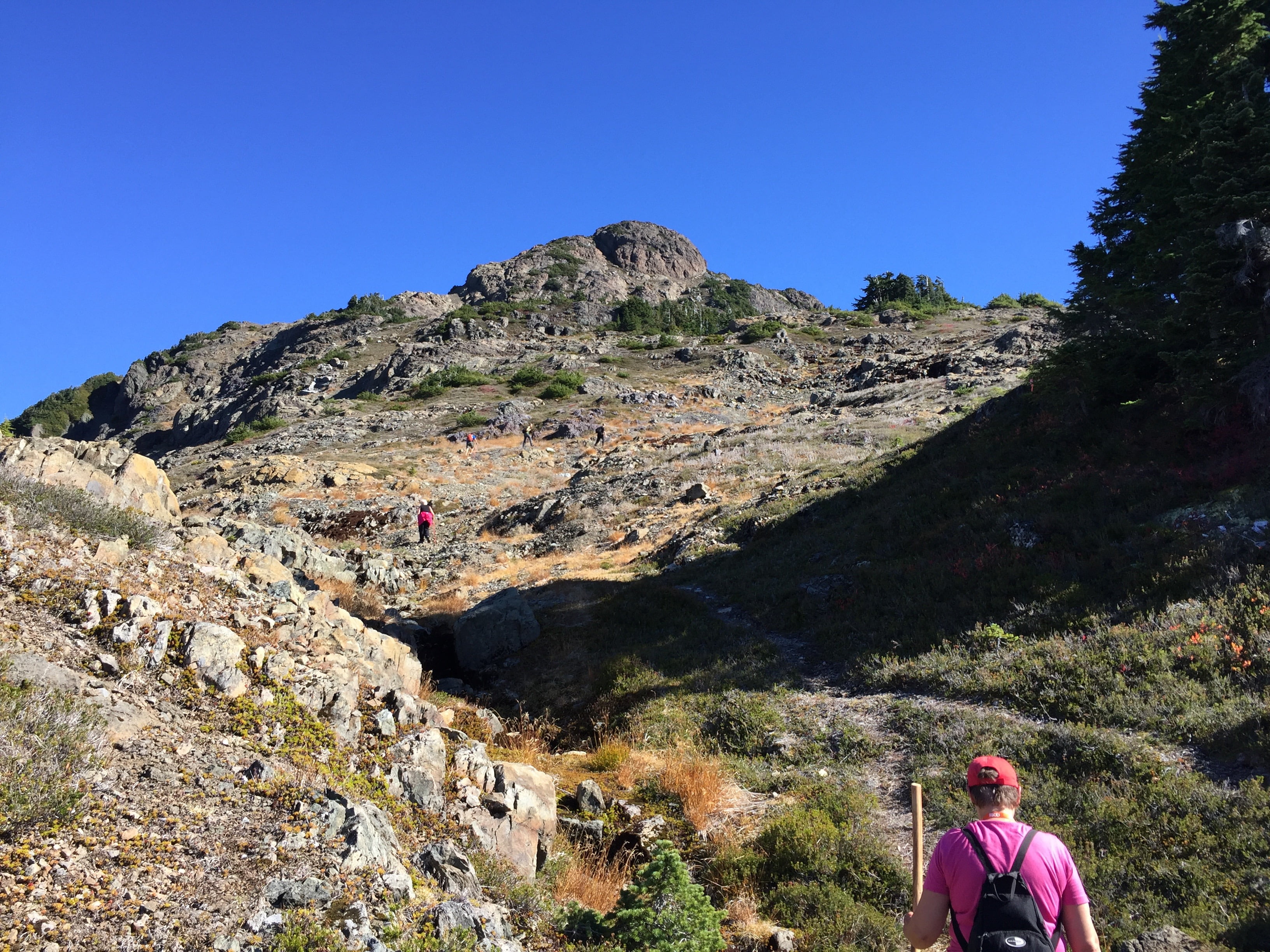
1347m – 1:32PM – 3.7km travelled. 290m to go. Another bluff. – 1.5hrs to summit.Our destination is approaching but the pace is slowing. It’s getting pretty tough.Just gotta keep on the track.
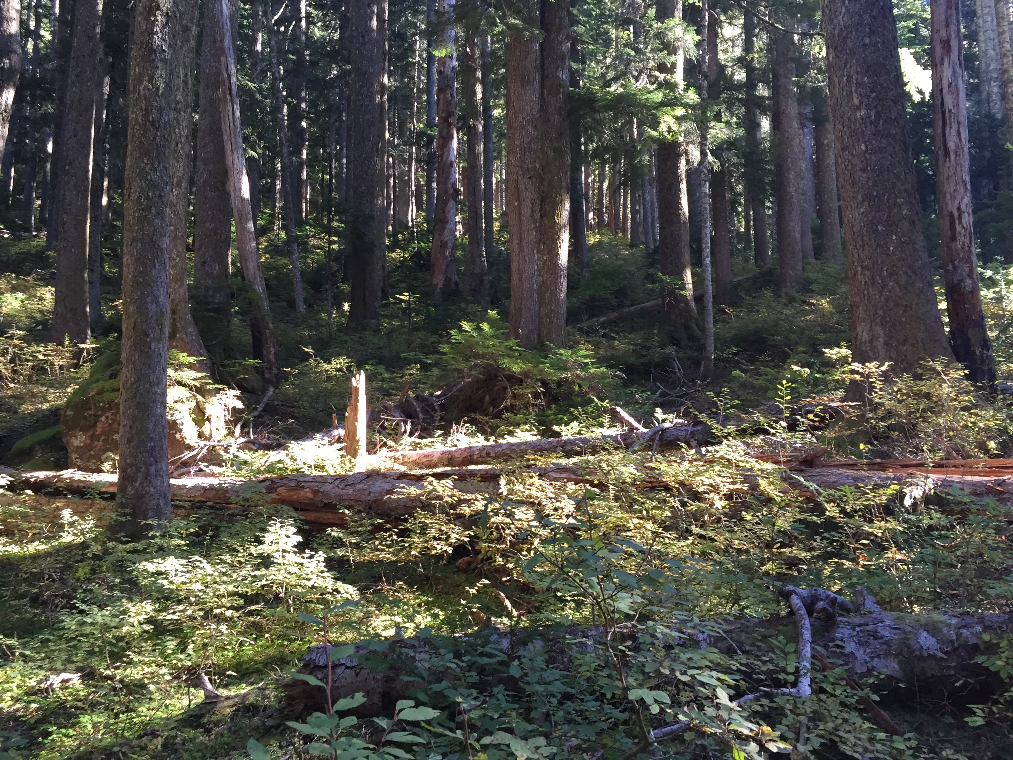
1387m – 1:45PM – A steady climb.Taking a break beside one of many cairn/inukshuks marking the trail. Visible below in the centre is the lake just East of Brigade Lake (I don’t remember its name) and Brigade lake is just visible to the right under Mt. Gibson.
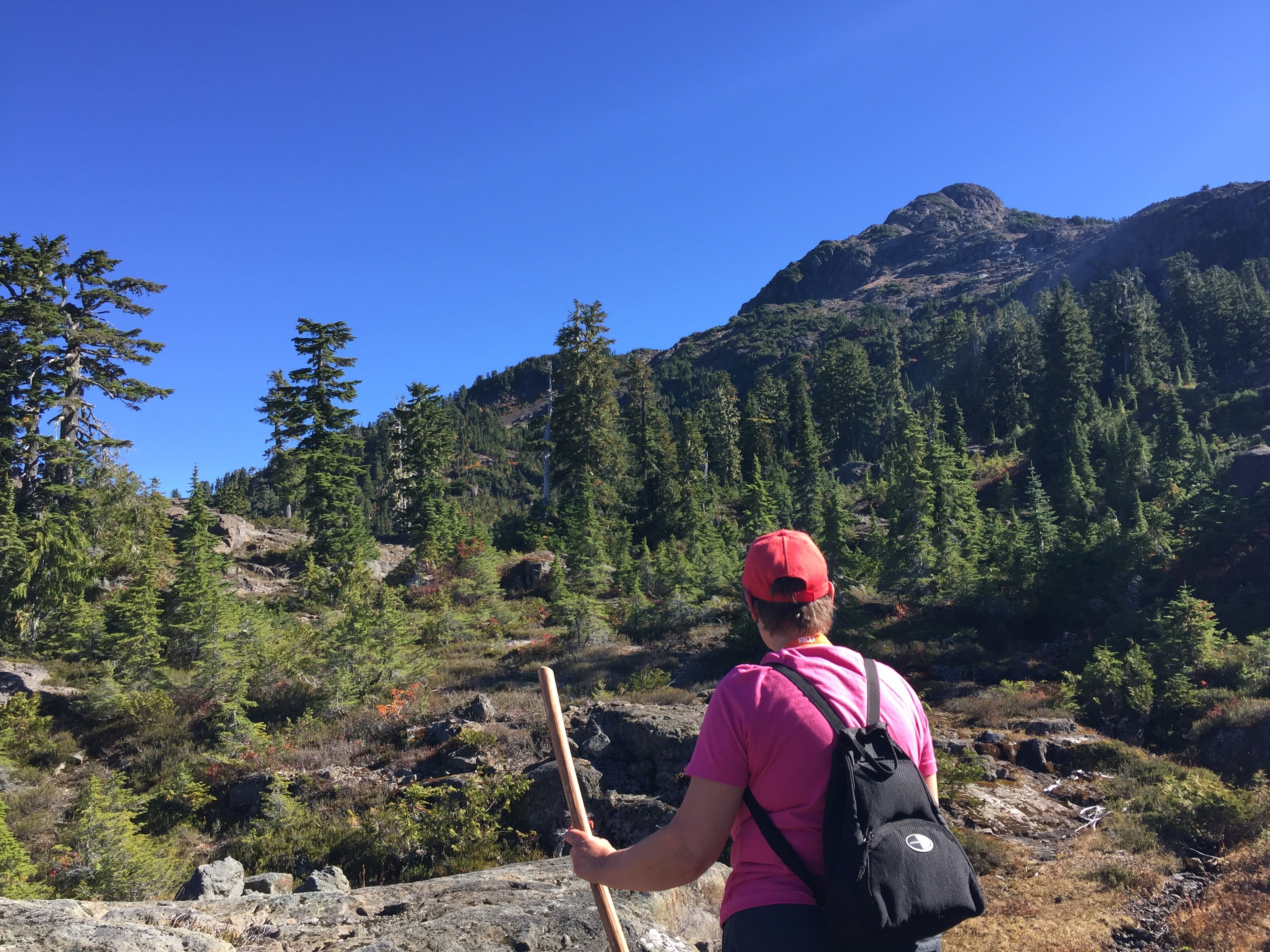
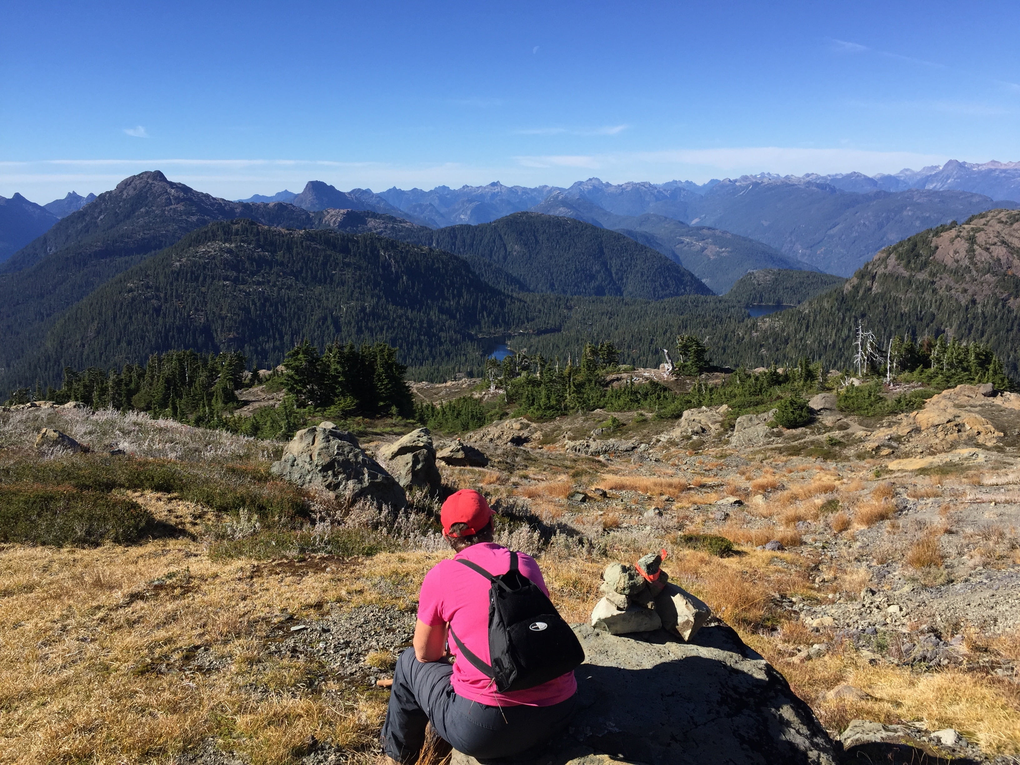
1470m – 2:15PM – 680m climbed 170m to go – 4.2km travelledWe wanted to have our biggest lunch at the peak but we stopped here instead. It’s a still a tough 170m to the peak but the views are already expansive. On the left beside the leftmost peak you can see the blue of the Pacific Ocean. The peaks to the right are in Strathcona Park.
There are no pictures for the next 45 minutes which were pretty tough especially for my mom. We scrambled up some scree and around a couple more bluff. It was just a hard push up. We all made it though, and the payoff was extraordinary.
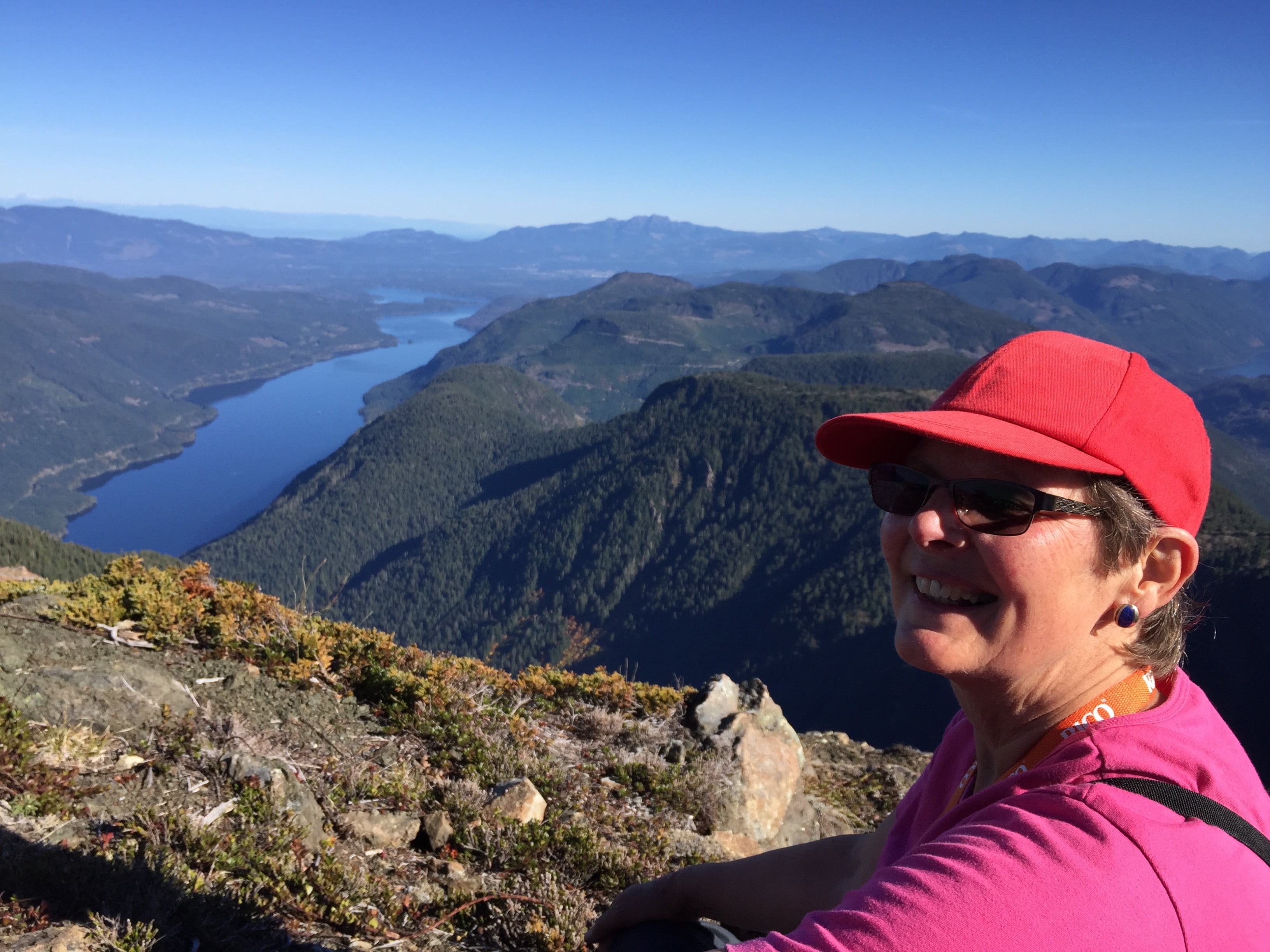
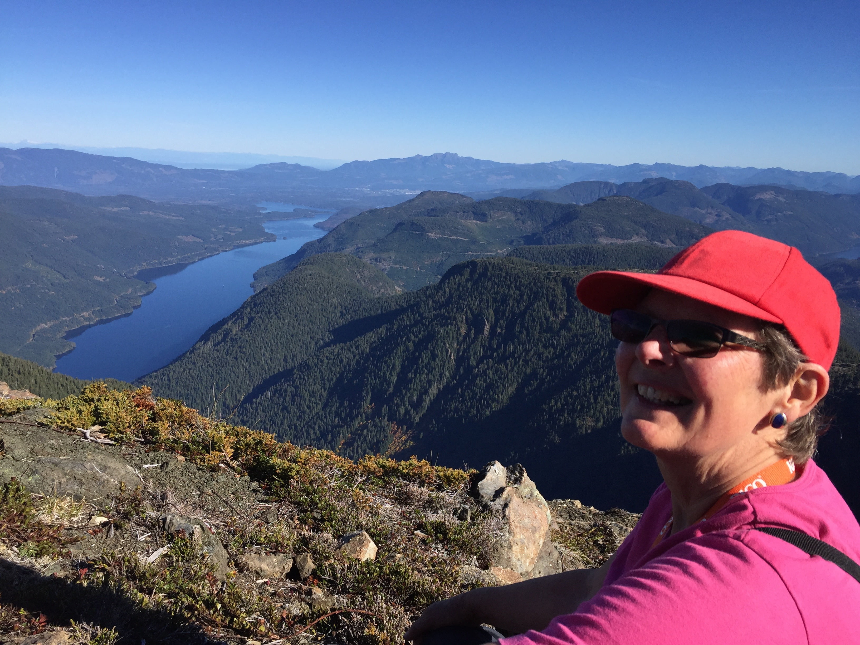
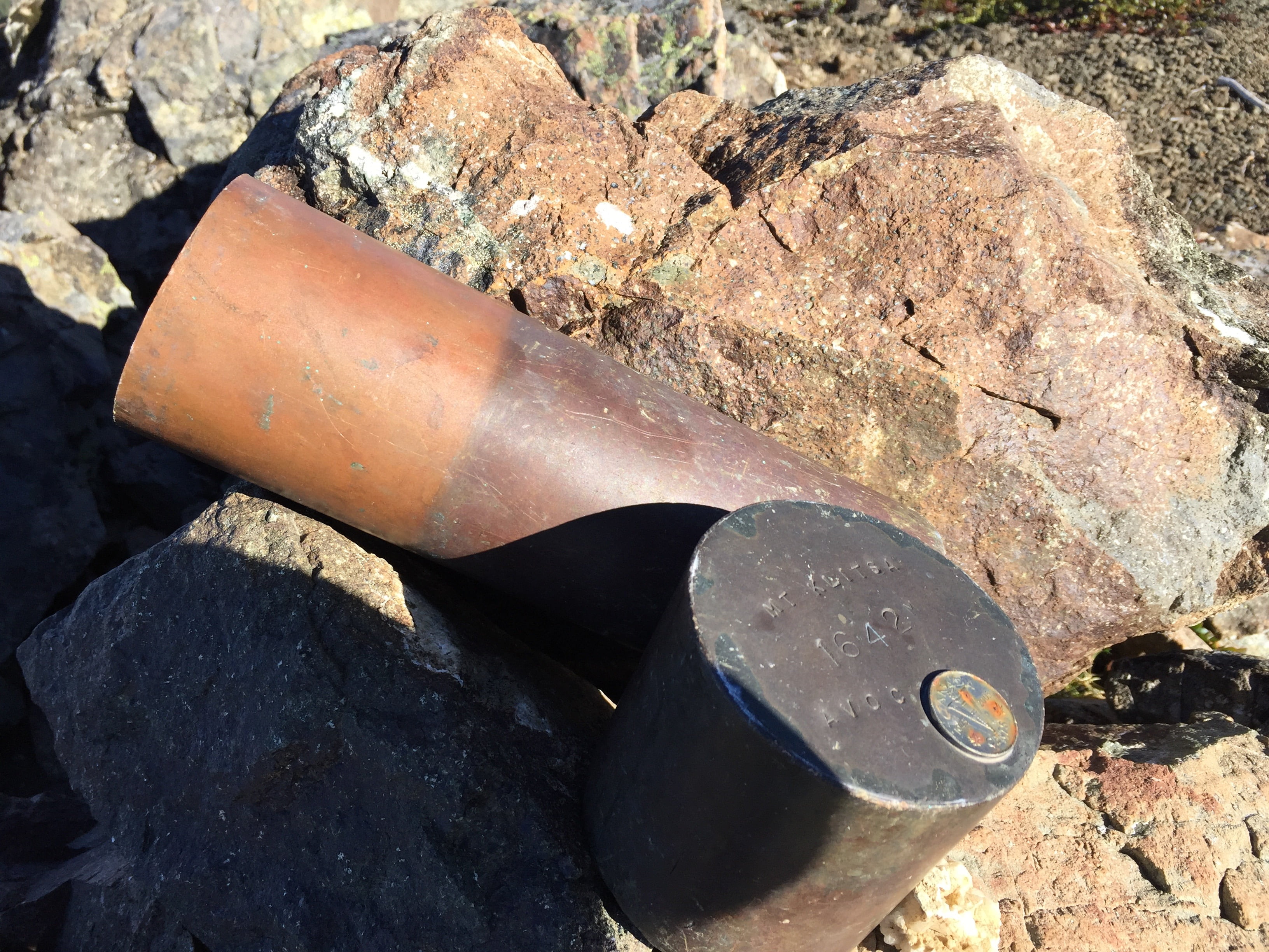
1637m – 3:05PM – 4.8km travelled – 842m gained – Time of Ascent: 4 hours 36 minutes.Did it!Same pic but with background in focus. That is Taylor Arm of Sproat Lake with Mt. Arrowsmith in the centre (1800m elevation) and the white/grey area is the City of Port Alberni. Highway 4 is seen snaking along the north side of the lake.The canister that holds the log book where we all wrote our names, date, age for posterity. My first time getting to do that! Official height of Mt. Kiltsa is 1642mLooking East – Near ridge hides Great Central Lake – Second ridge is the Beaufort Range extending all the way to the Comox Valley and the Comox Glacier (what’s left of it) is visible as the flat plateau. The Beauforts hide the Buckley Bay area and Qualicum – Far Distance is the Coast Mountains on the Sunshine Coast – Taylor Arm, Sproat Lake including Sproat River is visible – NAhmint Lake is over next ridge to right – And the tip of Henderson Lake the next to right of that (just before you get to the people. Not visible in the picture but visible in general is Barkley Sound.Very left valley is Henderson Lake – Visible over the second peak on the close ridge is Barkley Sound – Sun is glistening off the Pacific near the left-centre. Brigade Lake is clearly visible in the foreground under Mt. Gibson with the small. And the peaks of Strathcona ending with Comox Glacier cover the right.The official Geological Survey of Canada marker that denotes the top of the mountain. Arrow pointing true North.Not a bad place to have a break. 3:10PM
Some pictures near the peak. I don’t have a precise elevation but they would have been in the scree areas between 1500-1600m
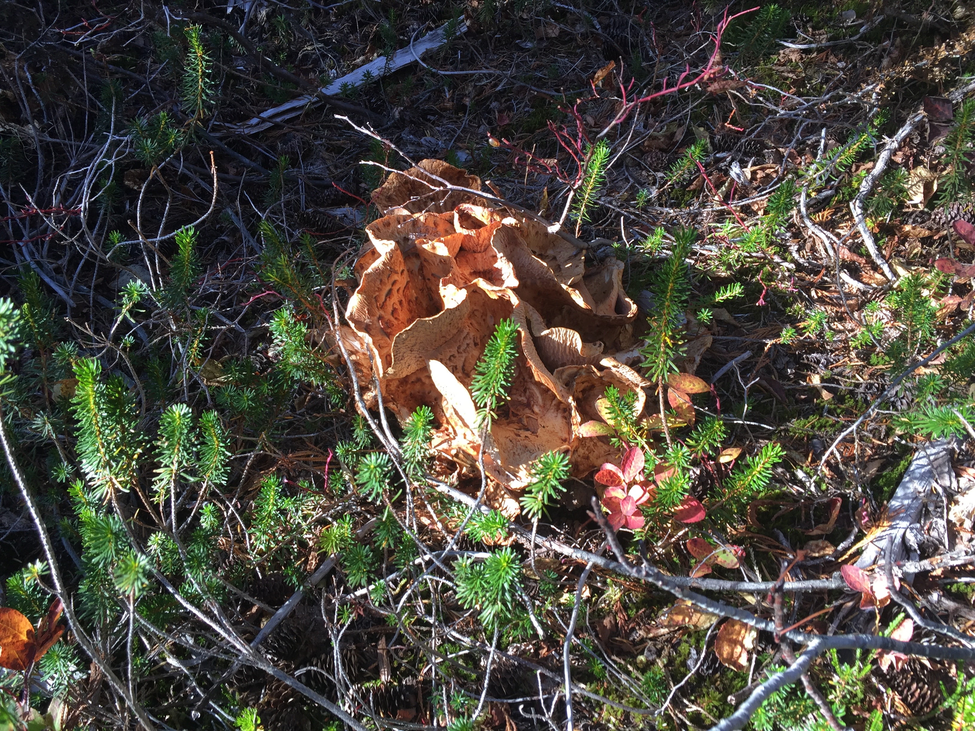
A mushroom:
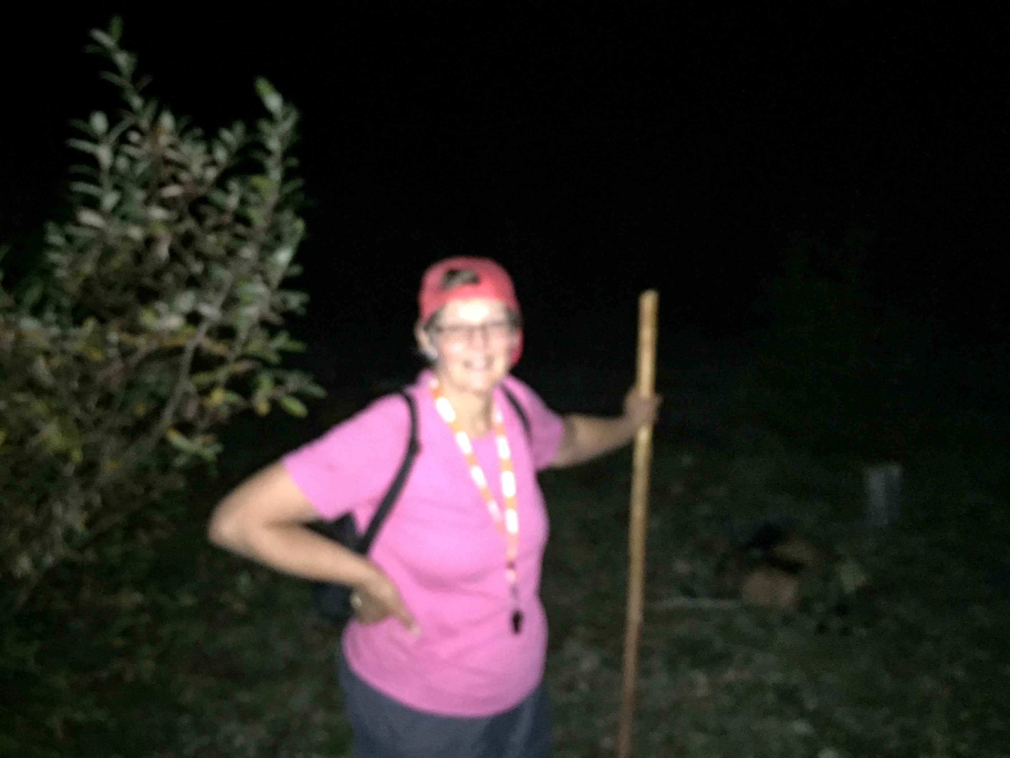
After a long journey down we made it to the trailhead just after dark. Apologies for the blurriness. But that goes along with the tiredness. 🙂
Arrival back at the trailhead – 7:37PM – Descent time – 4hrs 5min – Start time 10:37AM – Total Journey by foot – 9 hours!
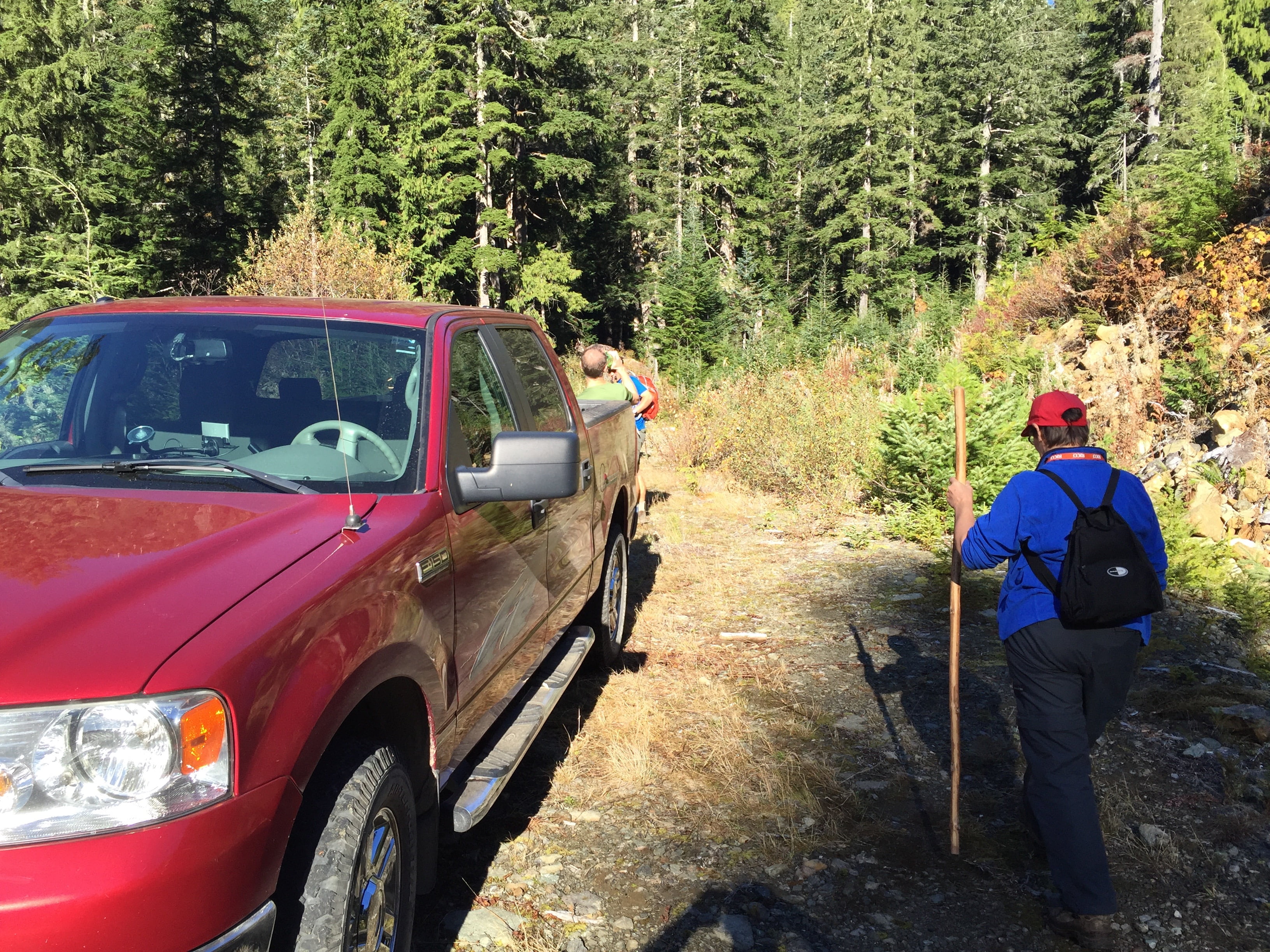
The drive from the trailhead to the pavement at Sproat Lake/Stirling Arm Drive was about 1 hour and 30 minutes. If you were starting from the City of Port Alberni proper it would be an extra 15 minutes or so. So total travel time is 3.5 hours in a vehicle plus 9 hours hiking makes for a 12.5 hour day! PHEW.
This is about as long as it can likely take. Many have done the one way hike from the trailhead to the summit in 3 hours.
It was very much worth it though. Definitely one of the best days of my life so far! And very glad I did it with my Mom!