We should get a break from the rain or snow most of these week as we settle into a pretty stagnant pattern. This is going to give us fog though or low cloud in the Valley as the humidity level remains high this morning.
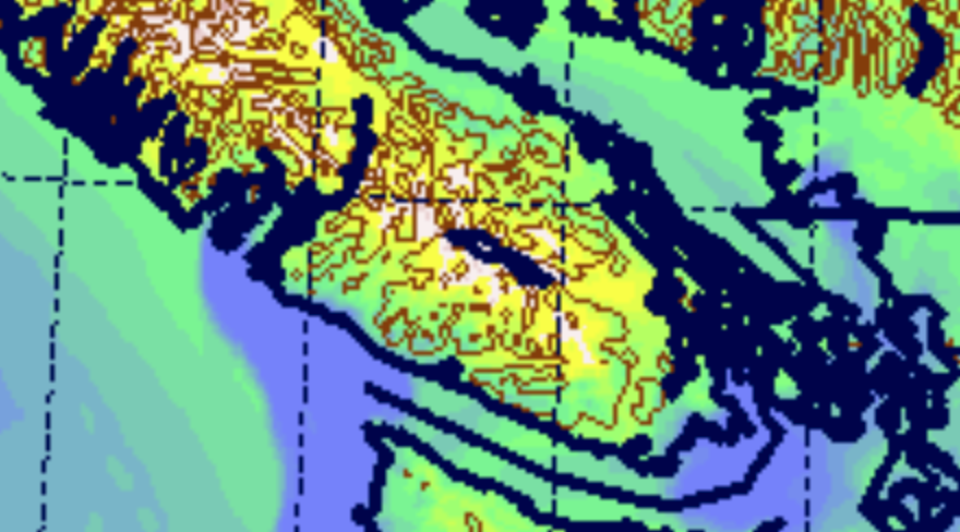
You can see the whisps of blue humid air in the Valley and along the coast in this image from UWash for this morning.
The model does suggest that by this afternoon, the humidity goes down to below 60% (yellow) which might be enough for the low clouds to clear away. But don’t be too surprised if that doesn’t happen.
However, on Tuesday it seems to suggest a bit different pattern setting up with much drier air in the Central Island which should indicate clearly skies. Notice the strong band of fog (blue) off Barkley Sound and in the Juan de Fuca Strait.
That fog will creep in overnight Tuesday and blanket most of the Island Wednesday morning and make for a pretty foggy Wednesday and probably Thursday too.
On Friday we have a chance at both some cold air creeping in from the Interior (notice the white, very dry, air in the BC and Washington interior). That will give us a chance of flurries on Friday but it is still a long ways out so we’ll see how that pans out.
Happy Monday!
So don’t expect much sun to peek out until the very end of the day Monday, Tuesday and Wednesday.
On Thursday a bit of a shift occurs and we might get some cooler air.


