Today will still be a relatively nice day with a good chance of seeing the sun most of the day.
The models say the beginnings of our weekend storm will come on Friday afternoon around 4PM. From that point on we should have steady rain or rain showers until at least Sunday morning.
The strongest wind should come around mid morning on Saturday and will coincide with the strongest rain.
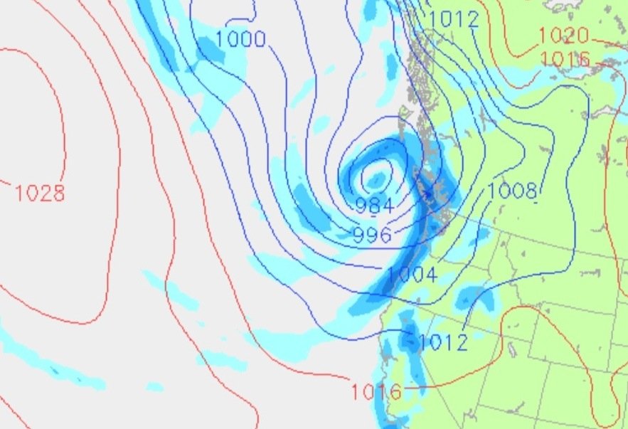
Here is the chart for morning. The low pressure you can see will be hanging out off of North Vancouver Island for quite a while.
By the end of the day Satuday we should have received around 50mm of rain.
The rain won’t really go away but it will ease off until Sunday afternoon when our second chunk comes through. That will be much shorter.. Just overnight. But will be followed quickly by chunk #3 Monday afternoon. Both of those will likely have some wind associated with it as well.
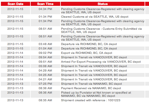
Meanwhile… 3 days later, the Weather station is finally leaving Canada.


