

Cooler and cloudier
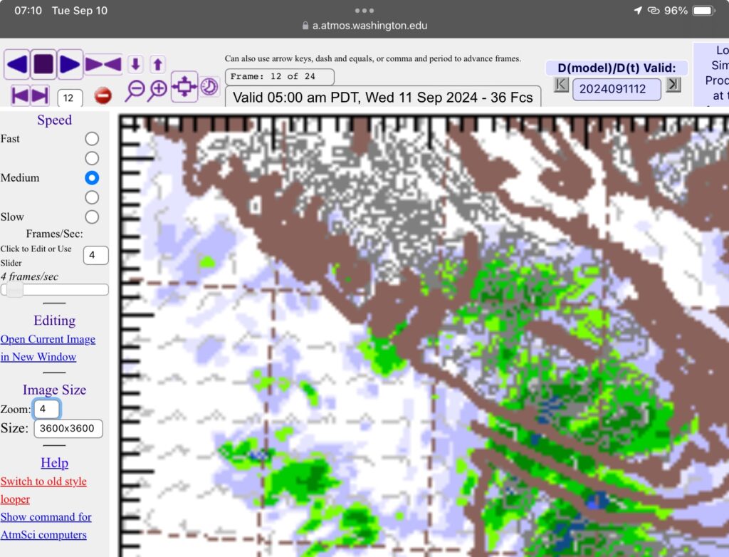
Let’s start with the forecast. Below is the picture for Wednesday morning. We can expect scattered showers over much of the South Island and Tofino/Ucluelet but Port Alberni stays mostly dry as does the East side north of Nanaimo.

In general you can expect a return to normal temperatures around 20°C for highs and lows near 10-12°C.
Records last weekend
Here are the records we beat last weekend at the official Airport station.
- Sept 5: NEW AIRPORT RECORD SINCE 1993 : 33.6°C beat 32.7°C. Alberniweather reached 36.1°C which would have beat Beaver Creek’s all time high of 35.6°C in 1944.
- Sept 6: NEW AIRPORT RECORD SINCE 1993 : 33.5°C beat 32.9°C and is second highest to Beaver Creek’s 34.4°C in 1909. Alberniweather reached a high of 36.3°C which would have beat the all time official record.
- Sept 7: 31.4°C missed a new Airport record by 0.9°C . (The wildfire smoke may have contributed to a slightly lower temperature)
- Sept 8: The smoke kept us off our expected highs.
The rest of the week
It is going to stay cloudy and we could see rain on the weekend. I will wait for a day or two before seeing what the models say for precise timing but right now Saturday night and Sunday morning look wettest.