Update 2PM
we are now up to a moderate rain shower in town, but it is still warm. It is snowing in other parts of the Valley and especially on the East and south Island.
https://twitter.com/alberniweather/status/818215822246047744
Malahat @cfax1070 @CTVNewsVI @TheQdotFM @1073KOOLFM pic.twitter.com/EHMjWmZCYb
— Jason Taron (@JTaron73) January 8, 2017
Update 12:30PM
https://twitter.com/alberniweather/status/818191965820858369
https://twitter.com/MollyTov2/status/818187557326336000
Update 12PM
Snowfall Warning is continued and has been extended to East side/Nanaimo. Here is the east side warning for 10-15
Issued at 2017-01-08 19:12 UTC by Environment Canada:
Snowfall warning issued for:
East Vancouver Island, B.C. (081300)
Current details:
Snowfall, with total amounts of 10 to 15 cm is expected.An approaching Pacific frontal system will give snow to East
Vancouver Island starting this afternoon. The snow may be mixed with rain at times as temperatures will be around the freezing mark.
Total snow accumulations near 10 cm is expected before the snow tapers off to a few flurries overnight.
The Northerly wind is keeping it feeling like it is near freezing but the actual temperature is 3°C so it will be interesting to see how this goes. We could have it start as rain, and then switch to snow.
The radar is showing plenty of moisture, so it should start fairly soon. Areas deeper in the valley will be less protected by Mt. Arrowsmith and so should expect more precip to fall. They have already had 10cm.
Below is the inland VI warning that is now continued. Original post is below that.
Here is the warning:
Issued at 2017-01-08 13:05 UTC by Environment Canada:
Snowfall warning issued for:
Inland Vancouver Island, B.C. (081500)
Current details:
Snowfall, with total amounts of about 15 cm is expected.A Pacific front will move onto the BC coast today and snow will begin this afternoon. Near 15 cm of snow is expected before the snow ends overnight.
Visibility may be suddenly reduced at times in heavy snow.
Be prepared to adjust your driving with changing road conditions.
Now I would note that we are already at almost 2°C so if it does snow it is going to be wet.
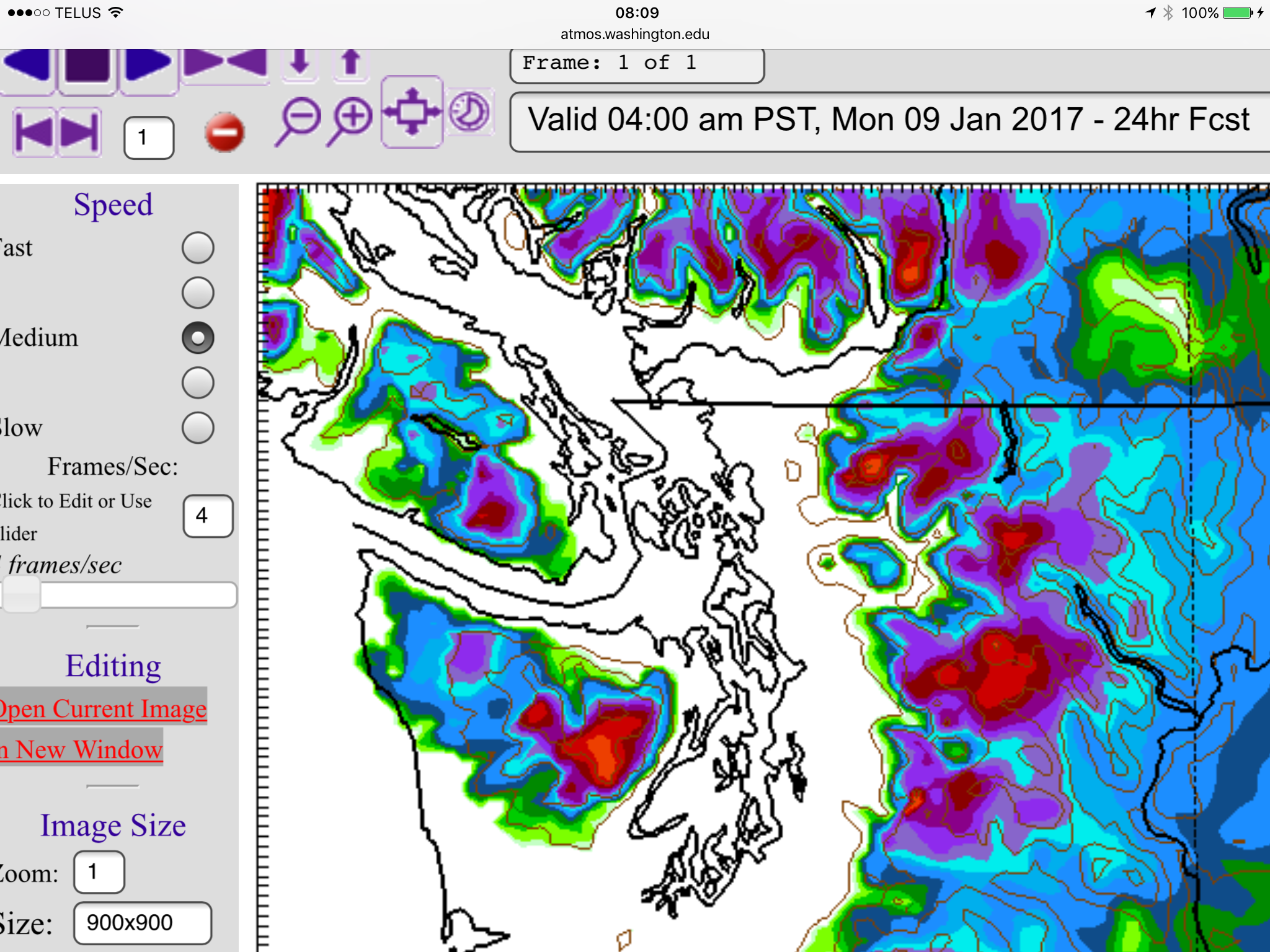
The morning model is just starting now but is showing we should see some scattered precipitation starting before 10AM and lasting through the noon hour. The main system makes landfall between 1-4PM.
The model does show us in a bit of a rain shadow but we should still see a fair amount of rain/snow.
Things intensify between 4-7PM.
And then it eases around midnight tonight.
UWash does not expect any snow to fall.
But clearly EC does, so stay prepared, especially if you are driving. The higher elevation you are, and farther north, the more likely you are to see a lot of snow.
Stay safe out there. 🙂


