Tag: strait effect
-

Timing for the upcoming mixed high elevation snow and rain
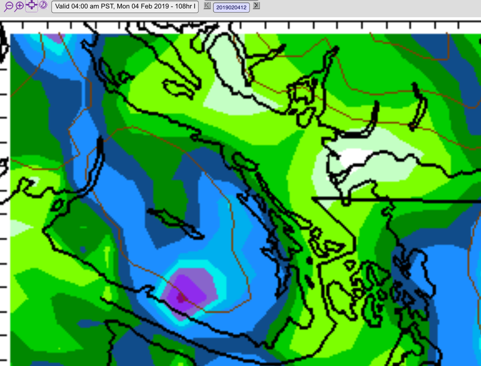
The level of excitement is maybe a little higher than the actual chance for significant snowfall in any given spot. Much like we saw in December, we don’t have enough cold air in a stable and persistent way to guarantee an Island wide snow event. So let’s look at the most likely spots for accumulation…
-

Chilly morning – Freezing on Hump – Possible east coast flurries – Arctic Wind Coming!
Watch for black ice I noticed the car said it was -1°C on the Hump and through Coombs this morning. Be careful if you are in a spot that might have some moisture as it may have turned to black ice. This is a warmup (coldup?) for what is coming Wednesday as Arctic air swoops…
-

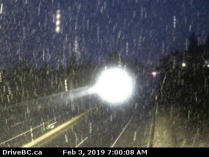
The cold is here. East side Snowfall warning. Snowing in Ladysmith.
Updates… most recent at top. Original Post It is 0°C and the windchill so far this morning in Port Alberni has been down to -3°C. It will get colder. There is a snowfall warning. The easterly outflow winds are blowing across the Strait onto the east side of the Island and that is going to…
-

Updated 8:15PM Saturday – East Coast Snow Sunday into Monday but not likely in Port Alberni
Update 8:15PM Saturday – Alberni snow possible. Some updates. The models have changed a little. I won’t go into detail until later tonight or early tomorrow morning as the models are just about to update again, but I thought it was worth mentioning that the models have gone quite cold. All are predicting temperatures between…
-

Karma Approaching in the form of cold and snow starting Sunday.
Did you brag to your friends and relatives back east about how warm it was out here while they suffered in a deep freeze? Well Mother Nature noiced, and she may be about to demand atonement. Below is the forecast temperature map for Thursday morning, followed by the map for Sunday morning. Freezing temperatures are…
