

Podcast is Up!
Thunderstorms developing around noon.
If you’d like a video version of this (though I don’t mention the comet! check that out below!) here’s the Podcast:
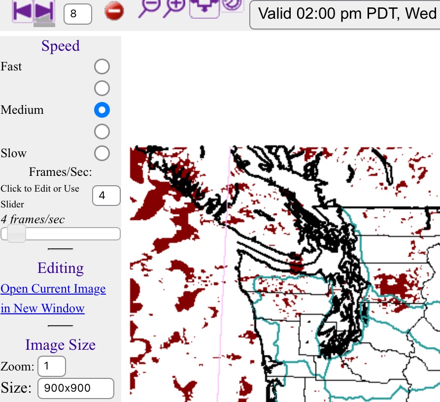
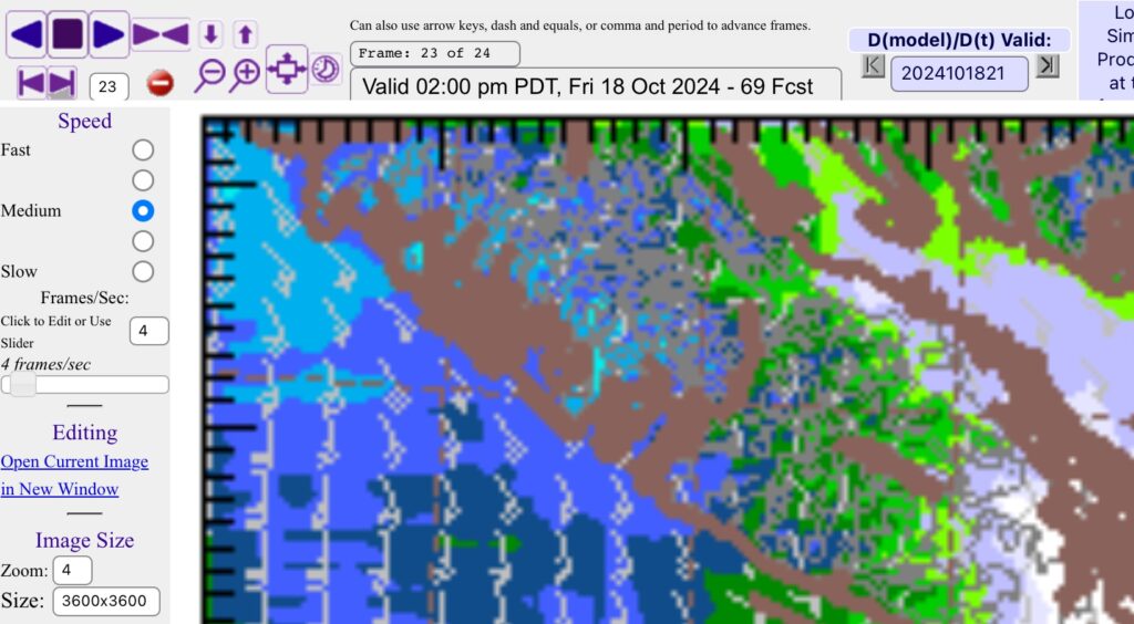
The image above from the UWash model shows patches of lightning developing across the Island in the late morning and early afternoon today. While the majority of the activity is focused on offshore areas, there are some patches in the Alberni Valley, Cowichan Valley and Gold River areas.
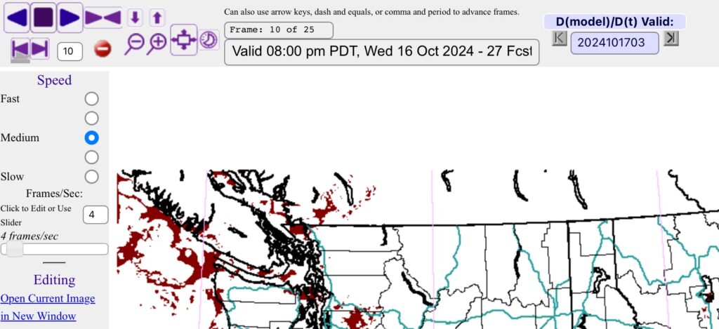
The threat of thunderstorms on the Island appears to drop to zero after sundown but folks on the West Coast and Strait of Georgia might see some over the water overnight and into Thursday morning.
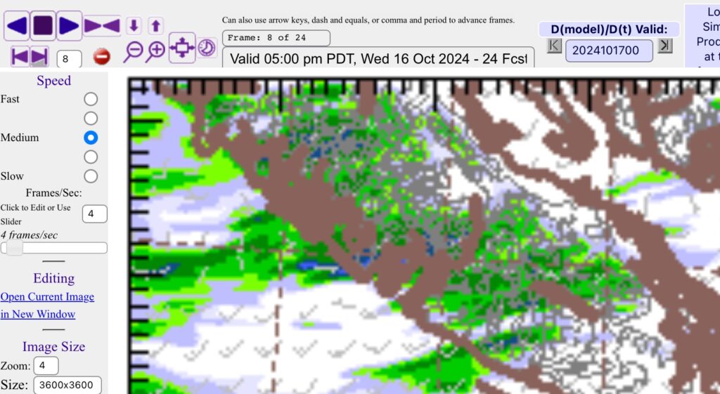
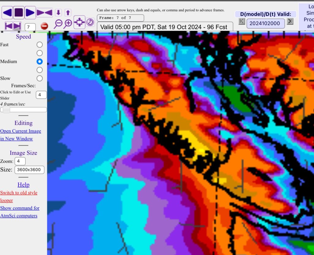
The rainfall imagery supports the same conclusions with this picture showing strong rains developing in the higher elevations and down the Alberni Inlet this afternoon. Those areas are the most likely to see lightning strikes, but we might have the odd one creep in closer to populated areas.
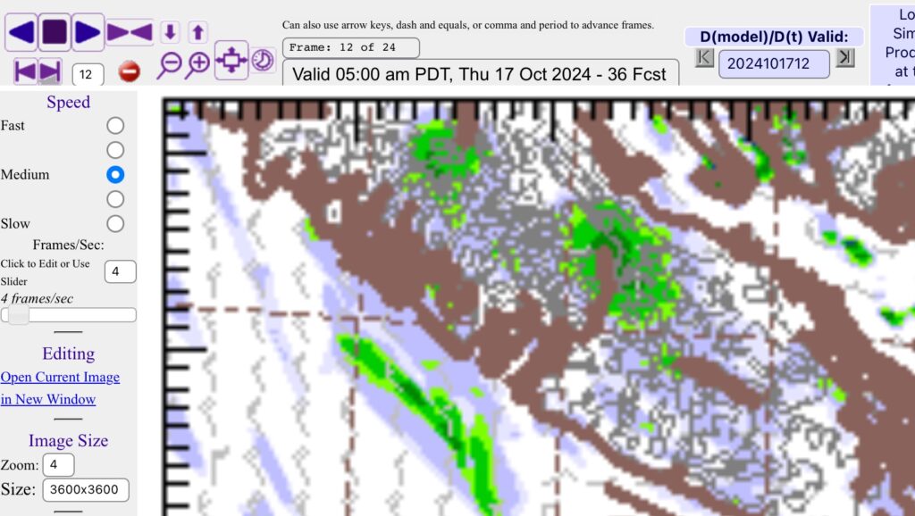
This last image is interesting. It is the picture for the 2AM-5AM period Thursday morning. It shows a very focused chunk of rainfall over the Alberni Valley. The fact that it is so focused makes me think this could produce some lightning, but the lightning map doesn’t show anything at that time. It might just be a blip from the model, but if you’re awakened by a sudden rainstorm before sunrise tomorrow morning, that’ll be the one.
Nice Thursday – Rain Friday
It is definitely fall, all the weather is happening (well… except THAT weather, yet). Thursday should be quite pleasant with sun most of the day but a new system will roll in Friday morning.
What looks like our first small atmospheric river of the fall might be coming on Friday strong rain showers will start Friday morning an strengthen Friday afternoon and continue into Saturday.

The atmospheric plume of moisture looks like it will linger a little over the South Island so that is why the West Coast and Cowichan have the highest totals. If the plume shifts just slightly north, expect much higher totals in Port Alberni.
The 24hr total between 5PM Friday and 5PM based on the model above looks like, from North to South:
- Campbell River/Courtenay: 10-15mm
- Bowser/Qualicum: 20-30mm
- Port Alberni: 15-20mm but 30mm near the mountains/Sproat Lake
- West Coast: 100+mm
- Cowichan Lake: 50-75mm
- Parskville, Nanaimo, Duncan, Victoria: 10-15mm
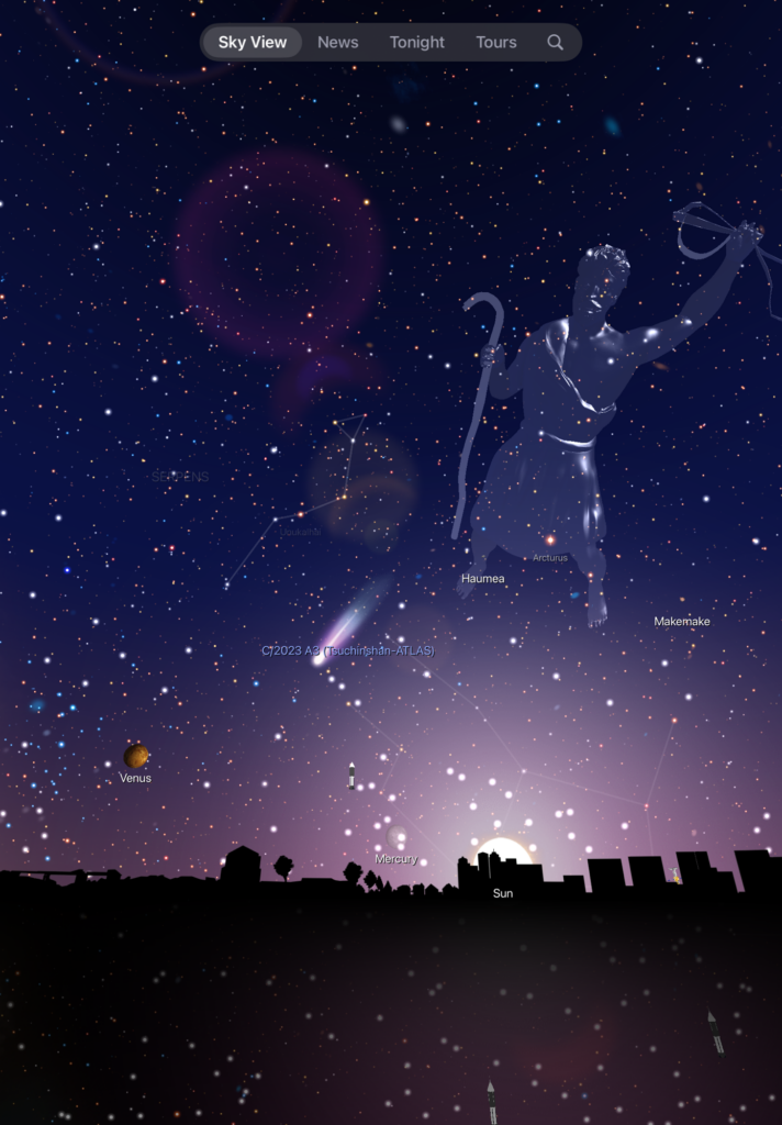
Comet possibilities Wednesday or Thursday night.
The best chance to see the comet in the Western sky looks like it will be tonight or Thursday with clear skies. It sets not long after sunset between Venus and the Sun so you’ll need to look quite near the top of the mountain ridges to find it. If I see it, I’ll post an update.
Website updates complete.
As you will have noticed, I have made some changes to the design. I hope they result in a quicker and easier functioning website for you. Please let me know what you think.
Have a wonderful week, and look out for that lightning!