UPDATE Nov 30 9:30AM – Rain has begun, updated forecast looks heavier.
Total at Alberniweather so far: 15mm
Gold River has a similar amount as does Cowichan Lake and Port Renfrew has nearly 30mm, likely similar to Tofino and Ucluelet (which only report rain data daily). It is still relatively dry on the East side and South Island.

Updated forecast – Bigger totals West and Fraser – But East/South Island Spared?
Rain should start for all areas of the Island and Lower Mainland between 10AM-1PM today though there is still a rain shadow visible around Nanaimo and Victoria. It will continue through Wednesday.
Totals between 4AM Tuesday and 4AM Wednesday look a little heavier. West Coast of VI is solidly orange/130mm and there are similar pockets in the Fraser Valley over 100mm. Expect an addition 20-30mm on Wednesday. Not good.


It seems from this picture that the East side of the Island, particularly Cowichan Valley *might* get away with only 30-40mm today. That would be excellent. The West Coast can at least handle heavy rain… but the picture for the Fraser Valley is definitely very concerning, especially with the snow melt.
Watching the Snowpack – Comparing Webcam
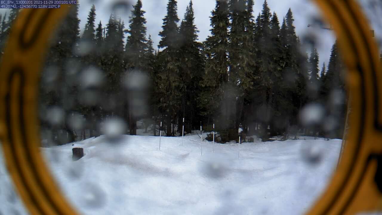
I’m keeping an eye on the webcam on Mt. Arrowsmith. Here is a comparison of the image from noon on the 25th compared to yesterday (29th) at noon.


There has definitely been a drop. That will be adding into the rivers and there is still more to melt with a lot more rain on the way.
Stay safe out there.
Flood watches remain in effect for the entire Island
Flood watches are still up for the whole Island including Port Alberni/Somass Rivers and other waterways.

The watches are on the expectation that more rain is on the way. And it is.
Rain Begins again Monday Night – Rain Shadow Luck
Showers may start after sundown, but rain will begin around midnight in Port Alberni. Earlier on the West Coast and later on the East.
The model shows a rain shadow will setup on the East side of the Island from about Denman Island down to Nanoose Bay including Texada and Lasqueti Islands. The rest of Vancouver Island and Gulf Islands will get plenty of rain. You can see the shadow below.

Totals: Not as extreme as could have been for hard hit spots but enough.
Here are the totals for 24hrs (4AM-4AM Monday-Tuesday)


Next, Tuesday-Wednesday


And finally Wednesday – Thursday morning


The totals for each day according to the pictures above (Monday, Tuesday, Wednesday: TOTAL):
- Port Alberni: 15mm, 25mm, 2mm: 42mm
- Tofino: 20mm, 75mm, 10mm: 105mm
- Nanaimo: 5mm, 10mm, 2mm: 17mm
- Cowichan: 20mm, 40mm, 10mm: 70mm
- Victoria: 5mm, 15mm, 5mm: 25mm
- Fraser Valley:15mm, 50mm, 15mm: 80mm
These aren’t huge totals but because it comes so quickly after the Sunday rain, and because there is going to be snowmelt added in and the already saturated and sometimes flooded ground, it will be enough to cause serious problems.
Keep an eye on the BC Government websites and your local City or Regional District for any updates.
The rain should end early Wednesday night or early Thursday morning for all areas.
A bit of a break after Thursday
We should get some dry days between Thursday and the next rain system next Sunday. Then maybe we’ll see some cooler temperatures and chance at, snow? 🙂 We’ll see.
Take care all!

