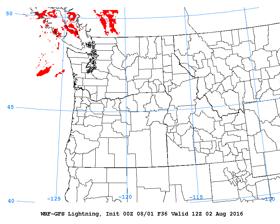
It will be quite pleasant again today but a little bit of a change is going to come late in the evening and overnight as a chance of showers develops with a chance of a few rumbles of thunder as well.
The rain is projected to arrive after sundown tonight. In the first image below you can see the rain has not yet arrived by 8PM tonight,
We then see it start to creep down from the north along with a chance for thunder and lightning activity. Especially in the mountains.


By 5AM Tuesday (12Z) the chance for lightning has reached the central island.
There will be a possibility for showers for the rest of the day on Tuesday but it will pull back into the mountains for most of that time.
After Tuesday it looks like we are heading back into a nice dry spell.
The good news is the cool weather has dialed the fire danger forecast back to high instead of extreme but please do be very careful out there. Let Mother Nature set the fires if she wants to. She doesn’t need any help from us. 🙂


